A hundred and sixty miles around the Kent coast as the Romans knew it, from Gravesend to Hastings
Indicative — sampled from open terrain data along the simplified route.
The Saxon Shore Way traces the coastline as it stood in Roman times, which is why it often runs well inland of today’s sea. From Gravesend on the Thames it follows the Kent shore round the Medway, out to the eastern tip of the county and back along the Channel to Hastings in East Sussex — about 160 miles. In several places the old cliff line it keeps to now looks out over reclaimed marsh, the sea having drawn back miles from where it once broke.
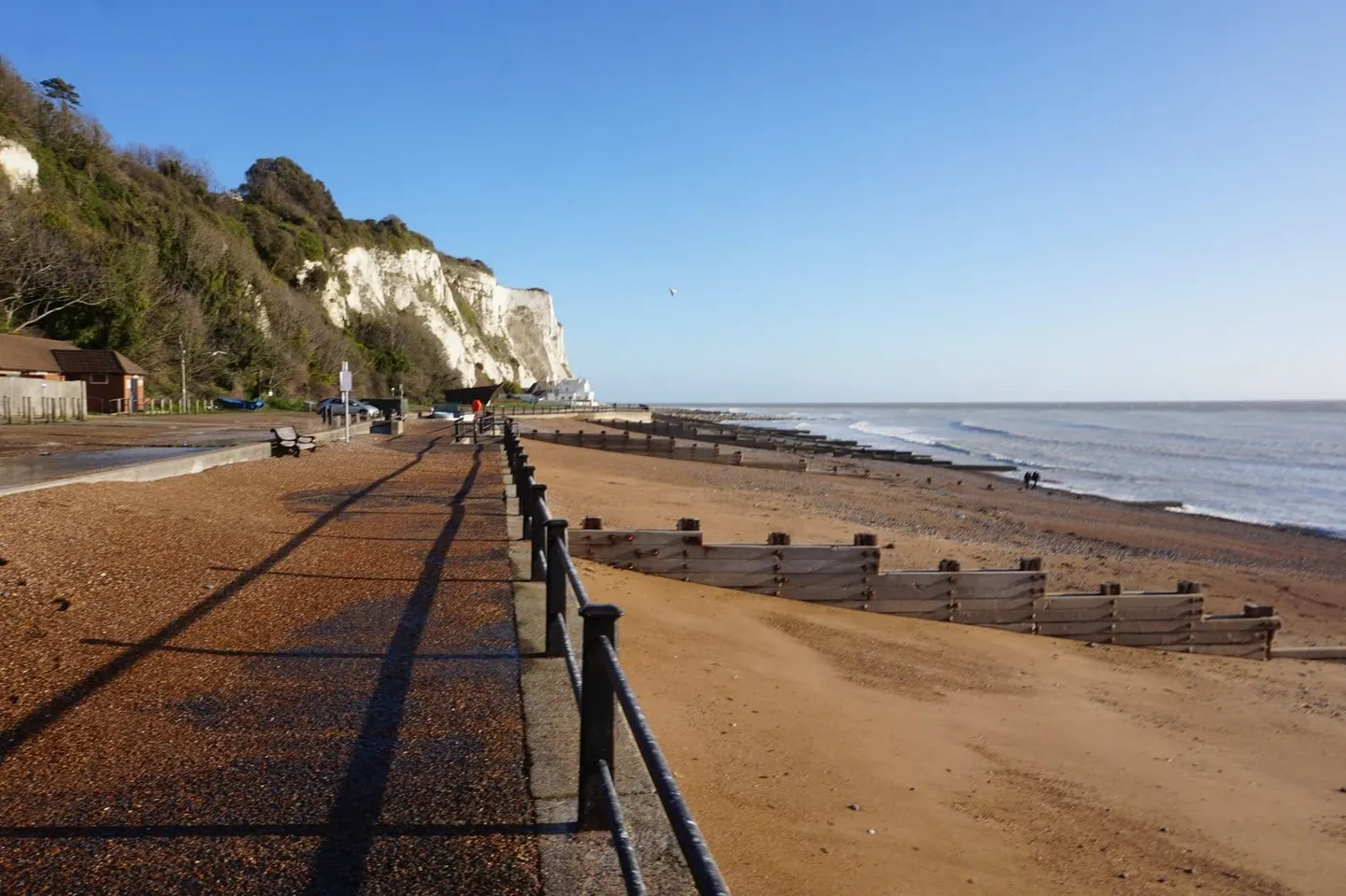
The name refers to the line of forts the Romans raised in the 3rd and 4th centuries against Saxon raiders, and four of them lie on or near the route: Reculver, Richborough, Dover and Lympne. Between them the walk takes in the marshes of the Thames and Medway estuaries, the white cliffs above Dover, and the long escarpment overlooking Romney Marsh.
Underfoot it is mostly easy. Much of the route runs along sea walls and marsh paths across flat, low ground, with wide skies and few climbs — the exceptions being the cliffs around Dover and Folkestone. What it is not is short, and the marshland stretches can feel remote and exposed for all that Kent is a crowded county.
It is one of the more practical long walks to take in stages. The route crosses the North Kent and Kent coast railway lines at many points — Gravesend, Faversham, Sandwich, Deal, Dover, Folkestone, Rye and Hastings all have stations on or beside it — so it lends itself to being walked a day at a time rather than in one continuous push.