Wealdway
Eighty-two miles across the Weald from the Thames at Gravesend to the sea at Eastbourne
Indicative — sampled from open terrain data along the simplified route.
The Wealdway crosses the whole width of the Weald, running 82 miles from Gravesend on the Thames in Kent to Eastbourne on the East Sussex coast. It starts on the North Downs, drops through Tonbridge and Tunbridge Wells, climbs into the High Weald and across Ashdown Forest, then descends the clay of the Low Weald before finishing over the South Downs above Beachy Head. Most walkers take five or six days.
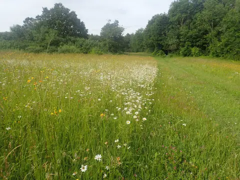
The route deliberately joins two of the big chalk trails: it meets the North Downs Way near its start at Trottiscliffe and the South Downs Way close to its finish, so it can be used as a link between them. In between it is a walk through mixed lowland country of woodland, hop-country farmland, sandstone ridges and river valleys, with the crossing of Ashdown Forest the highest and most open part. The going is moderate throughout, with no serious climbs but a great deal of field-path and stile.
The Wealdway was conceived in 1970 by members of the Ramblers, who wanted a walking route straight across the Weald from estuary to sea. The southern half was held up for years by the poor state of the rights of way between Uckfield and Eastbourne, and the full path was not published until 1981. The towns along the way are on rail lines, which makes the walk practical to do in stages, though some of the field sections between them can be heavy underfoot after rain.