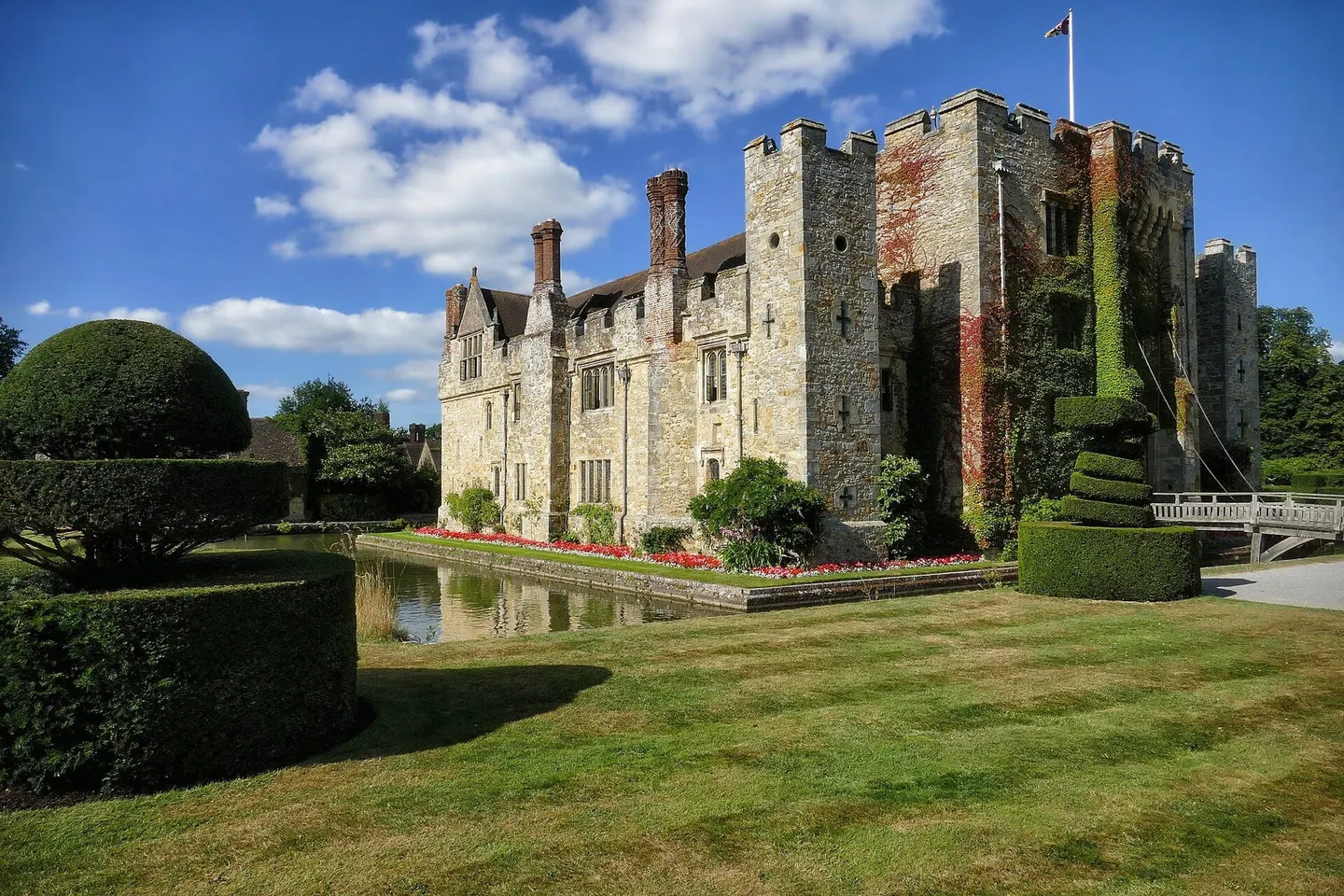
Places to explore near Ashurst (Kent) StationAshurst
Ashurst (Kent) Station sits inside the High Weald National Landscape. 48 places within 10 km — the standouts first, nearest first within each group. 1 is a national icon.
Worth the tripnational icons and local highlights within reach
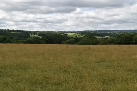
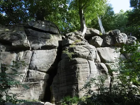
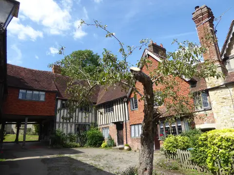
Also nearbygood places nearby, nearest first

Everything else within 10 km (28) — reserves, earthworks & places to check before travelling
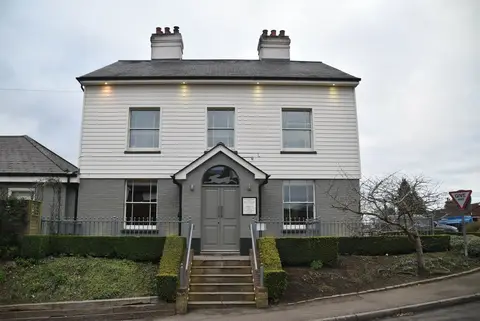
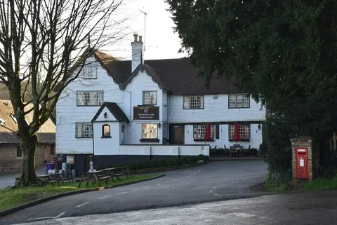
- The Gallipot InnPub5.3 km SW
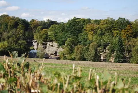
- Eridge RocksRock formation5.8 km SE
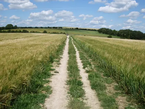
- Vanguard WayLong-distance path7.2 km W
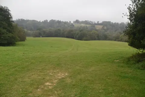
- Gill's Lap (The Enchanted Place)Viewpoint7.9 km SW
- Haysden Country ParkCountry park8.4 km NE
- River MedwayRiver navigation9.3 km NE
- Nap WoodNature reserve9.8 km SE
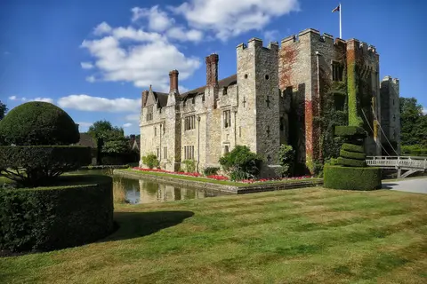
- Groombridge PlaceHouse & gardenaccess unclear3 km SE
- Cowden MeadowSSSIaccess unclear3.7 km NW
- Glen Andred GardenHouse & gardenaccess unclear3.8 km SE
- Hartfield MotteEarthworks of a former castleaccess unclear3.8 km SW
- Penn's RocksSSSIaccess unclear4 km SE
- Buckhurst ParkHouse & gardenaccess unclear4.2 km S
- Penns in the RocksHouse & gardenaccess unclear4.2 km S
- High RocksSSSIaccess unclear5.1 km E
- Bream WoodSSSIaccess unclear5.9 km S
- Rusthall CommonSSSIaccess unclear6 km E
- Cowden Pound PasturesSSSIaccess unclear6.3 km NW
- The Hatch InnPub7.7 km SW
- Eridge ParkHouse & gardenaccess unclear7.9 km SE
- CrowboroughMarilynaccess unclear8.2 km S
- Polebrook FarmSSSIaccess unclear8.6 km N
- Southborough PitSSSIaccess unclear8.9 km E
- Crowborough Country ParkCountry park8.9 km S
- Hall PlaceHouse & gardenaccess unclear9 km NE
- The SwanPub9 km W
- Mills RocksSSSIaccess unclear9.4 km W
- Starborough CastleCastleaccess unclear9.7 km NW
Ordered by how far each place is worth travelling for, then by distance. Distances are straight-line to the nearest edge of each place — paths wind, of course.