Twenty-eight miles of canal dug to stop Napoleon, in the end fired at by nobody at all
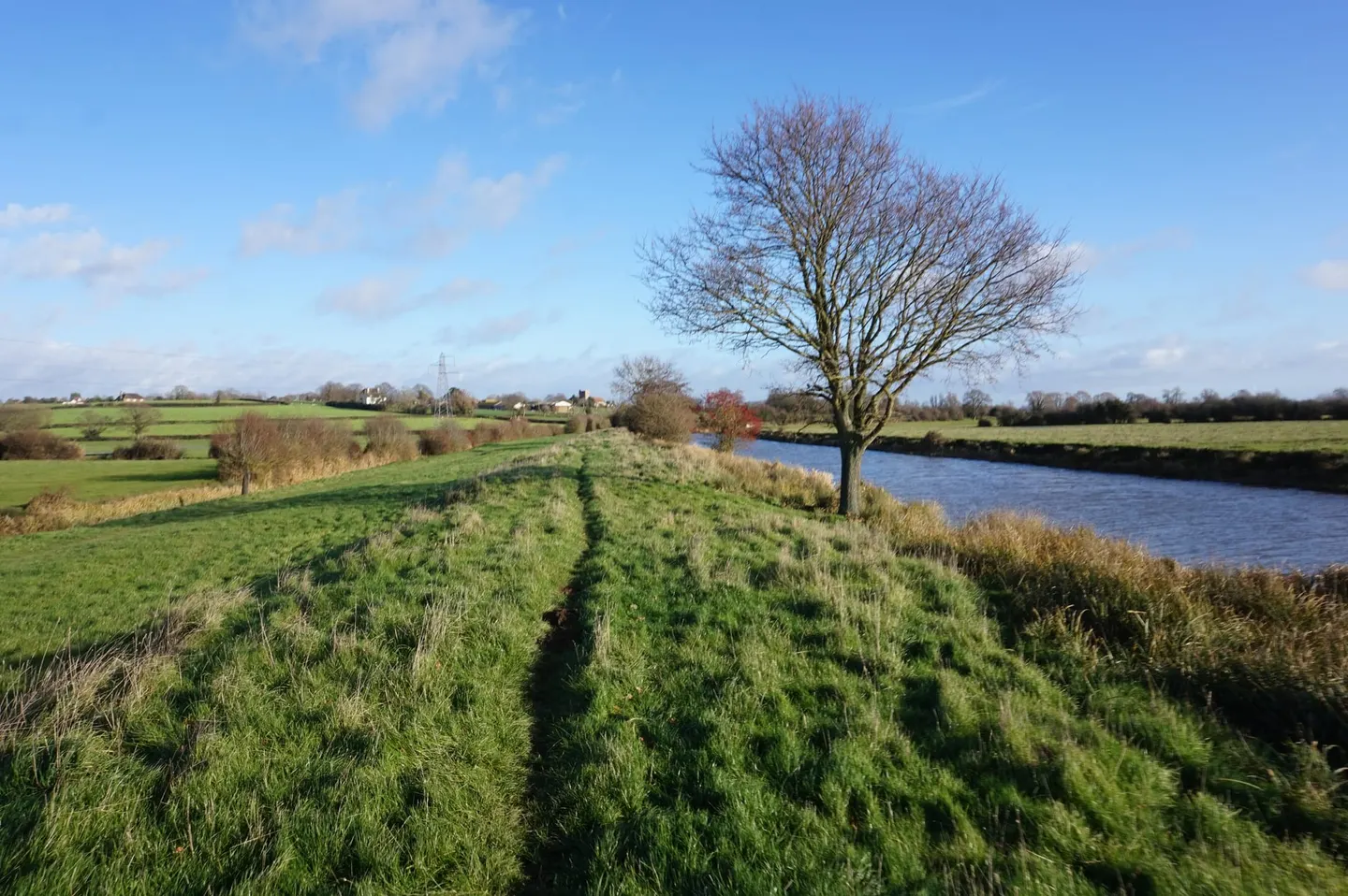
Napoleon never came, which makes the Royal Military Canal a monument to an invasion that didn’t happen. It was dug between 1804 and 1809 along the inland edge of Romney Marsh, from Seabrook near Hythe to Cliff End near Hastings, on the theory that the marsh was too flat and too open to defend any other way. It is really a moat rather than a canal — a wide wet ditch built to stop soldiers, not to carry cargo — and it zigzags rather than running straight, so that troops posted at each kink could fire along any length an enemy tried to cross, with a military road behind for moving guns and men to wherever they were needed.
It never had to prove itself: the invasion fleet stayed on the far side of the Channel, and by the time the digging was finished the threat had passed. Because it was made as an obstacle, it never came with the continuous towpath of a working navigation, and it makes a poor place for a canalside walk. The managed length at the eastern end around Hythe is kept up and pleasant to stroll, but the western reaches are another matter — between Rye and Appledore the canalside is so overgrown as to be impassable, with Environment Agency signs advising against access. Anyone picturing a gentle saunter past moored boats has the wrong canal.
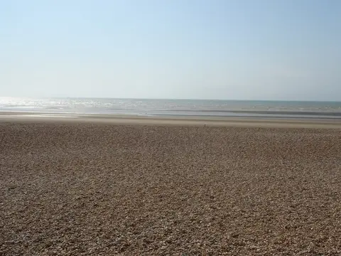
What it does offer is its setting. The line runs close to the reserves around Dungeness, Romney Marsh and Rye Bay, Romney Marsh flat on one side and the High Weald rising inland on the other, with the seafront at Dymchurch near the eastern end. Appledore, inland to the north-west, is the nearest station to the middle section.