Thirty-one miles across East Sussex, tracing the year of the Norman Conquest from Pevensey to Rye
Indicative — sampled from open terrain data along the simplified route.
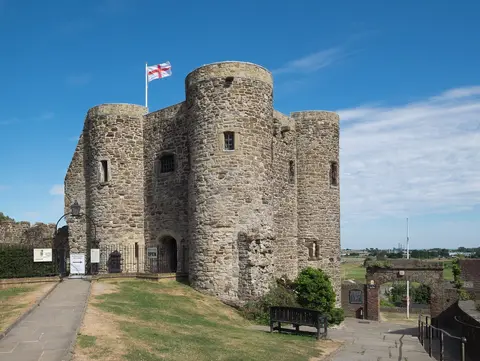
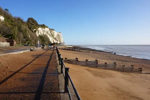
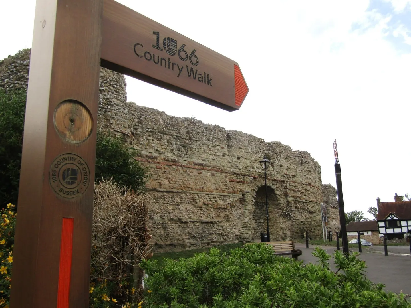
The 1066 Country Walk runs for 31 miles through East Sussex, from Pevensey on the coast to the old Cinque Port of Rye, by way of Battle. It ties together the places bound up with the events of 1066: William of Normandy landed at Pevensey, and the walk roughly follows his army’s line inland to the field where the Battle of Hastings was fought.
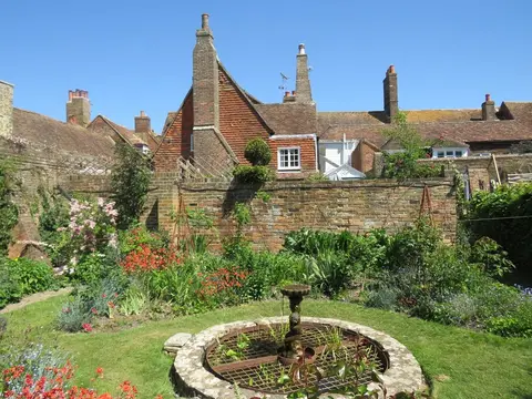
It begins beneath the Roman and medieval walls of Pevensey Castle and heads north past the brick towers of Herstmonceux Castle to Battle, where Battle Abbey stands on the battlefield itself, its high altar said to mark the spot where King Harold fell. From Battle the route turns east through farmland and old hop country to the hill towns of Winchelsea and Rye, both once ports that the retreating sea has left stranded inland.
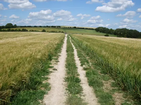
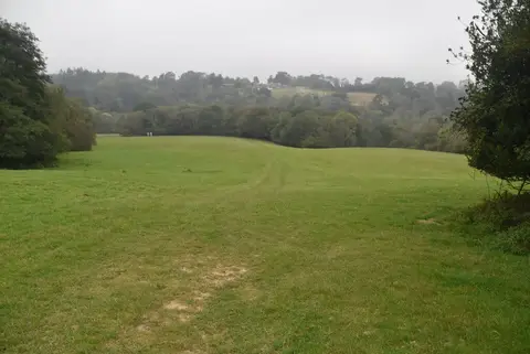
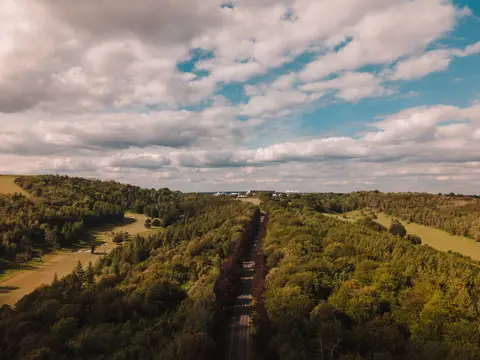
The walking is easy to moderate and mostly low, through rolling countryside of woods, pasture and the occasional oast house or windmill, touching the eastern edge of the South Downs. There are gentle climbs to the ridge towns but nothing hard, and it is generally split into about six stages of a few hours each.
It is a straightforward walk to do in pieces. The line runs close to the railway at several points — Pevensey, Battle, Winchelsea and Rye all have stations — so single days out along it are easy to arrange.