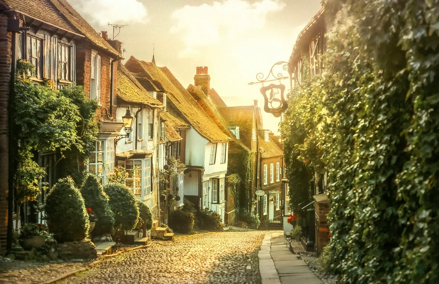
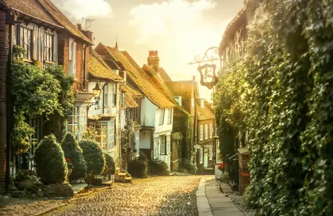
RyePhoto Zoltan Tasi / Unsplash
Places to explore near Doleham StationWestfield
Doleham Station sits inside the High Weald National Landscape. 54 places within 10 km — the standouts first, nearest first within each group. 2 are national icons.
Worth the tripnational icons and local highlights within reach
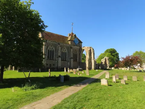
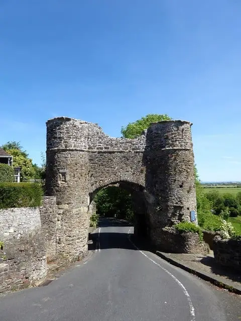
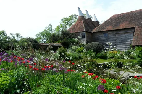
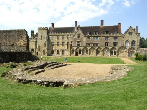
Also nearbygood places nearby, nearest first

Everything else within 10 km (33) — reserves, earthworks & places to check before travelling
- Alexandra Park, HastingsHouse & garden6.4 km SW
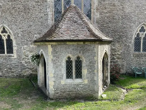
- St Thomas the MartyrChurch7 km E
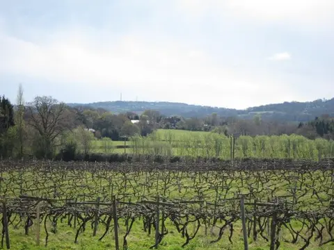
- Sedlescombe Organic VineyardVineyard7.1 km NW
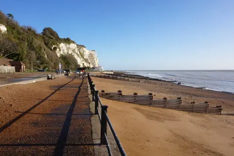
- Pelham BeachSwimming spot7.4 km S
- High Weald Landscape TrailLong-distance path7.6 km NE
- Sussex Border PathLong-distance path7.6 km N
- Telham Fields, CrowhurstCountry estate7.7 km W
- NorthiamVillage8 km N
- Lake Meadow, BattleNature reserve8.3 km W
- St LeonardsSwimming spot8.7 km SW
- Battle of HastingsBattlefield8.8 km W
- The Mermaid InnPub9.2 km E
- Lamb HouseHouse & garden9.3 km E
- The George in RyePub9.4 km NE
- Oxney Organic EstateVineyard9.8 km N
- Brede Pit and CuttingSSSIaccess unclear1.9 km N
- Maplehurst WoodSSSIaccess unclear3.7 km SW
- Dungeness, Romney Marsh and Rye BaySSSI4.7 km E
- Hemingfold MeadowSSSIaccess unclear5.8 km W
- Marline Valley WoodsSSSIaccess unclear6.1 km SW
- Winchelsea CuttingSSSIaccess unclear6.6 km E
- Blackhorse QuarrySSSIaccess unclear7 km W
- Hastings CastleCastleaccess unclear7.1 km S
- BrickwallHouse & gardenaccess unclear7.2 km N
- WinchelseaSwimming spot7.7 km E
- Samphire SaunaSauna7.8 km S
- Combe HavenSSSIaccess unclear8.2 km SW
- Fore WoodSSSIaccess unclear8.7 km W
- Leasam Heronry WoodSSSIaccess unclear8.8 km NE
- NorthiamSSSIaccess unclear8.8 km N
- Filsham ReedbedNature reserve8.9 km SW
- The Ship InnPub9.1 km E
- Ewhurst GreenVillage9.1 km NW
Ordered by how far each place is worth travelling for, then by distance. Distances are straight-line to the nearest edge of each place — paths wind, of course.