Photo Ian Simpson / Unsplash
Places to explore near Maidstone
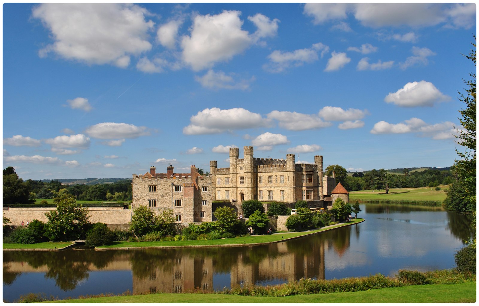
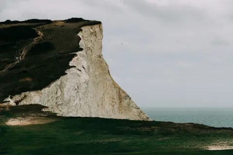
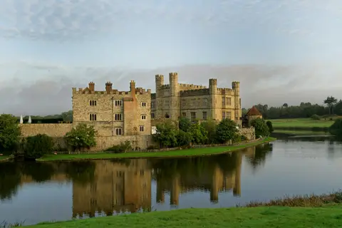
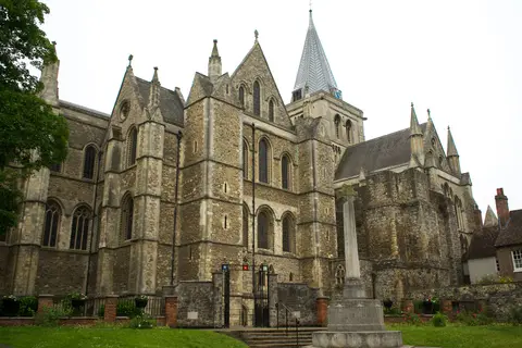
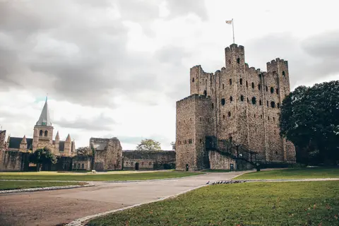
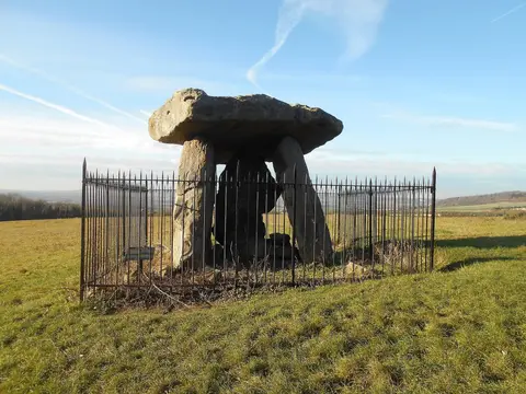
The county town of Kent, Maidstone grew up as a river port and market on the Medway, quarrying the grey ragstone that built much of medieval London and ringed by the hop gardens and orchards of the Garden of England. Leeds Castle, moated on its lake, stands a few miles east, and the chalk wall of the Kent Downs rises to the north, carrying the North Downs Way past ancient burial stones above the valley. Downstream the Medway runs on to Rochester Castle and the old village of Aylesford.
101 places within 25 km — the standouts first, nearest first within each group. 2 are national icons.
Worth the tripnational icons and local highlights within reach
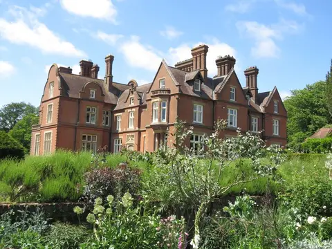
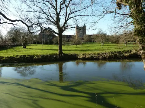
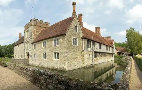
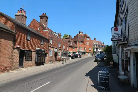
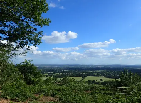
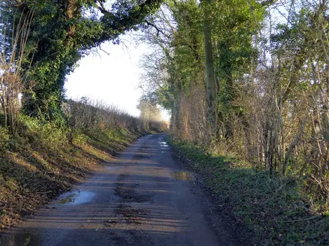
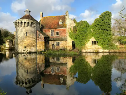
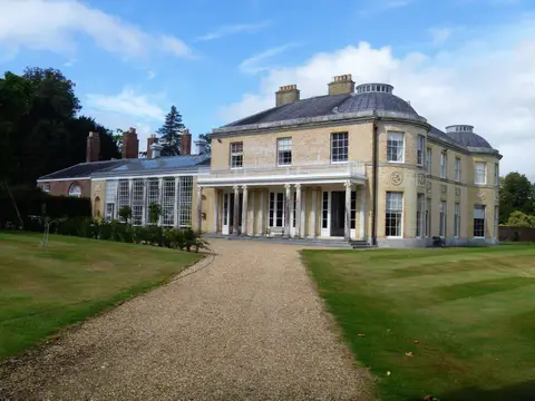
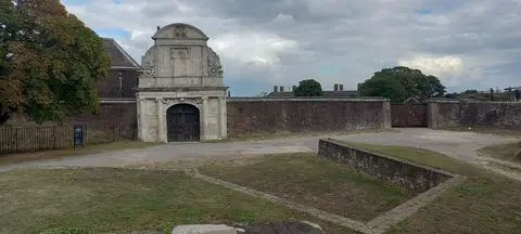
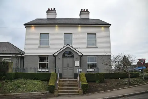
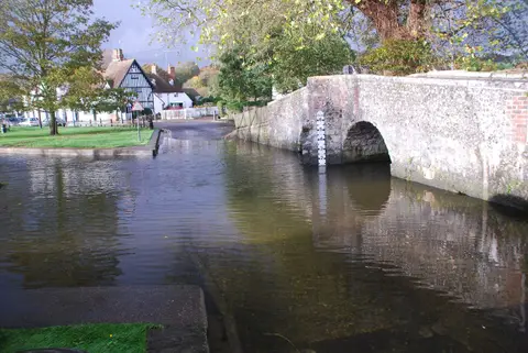
Also nearbygood places nearby, nearest first
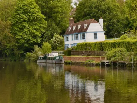
Everything else within 25 km (62) — reserves, earthworks & places to check before travelling
- River BeultRiver7.3 km SW
- Sutton Valence CastleCastle8.2 km SE
- West MallingVillage8.2 km W
- Manor ParkCountry park8.4 km W
- Capstone Farm Country ParkCountry park8.6 km N
- St Leonard's Tower, West MallingCastle9 km W
- The Pepper Box InnPub10.8 km SE
- WealdwayLong-distance path11.3 km W
- Saxon Shore WayLong-distance path12.1 km N
- Coldrum Long BarrowAncient site12.2 km NW
- King Charles III England Coast PathNational Trail12.4 km N
- Ranscombe Farm Country ParkCountry park12.7 km N
- Riverside Country ParkCountry park12.9 km NE
- Trosley Country ParkCountry park12.9 km NW
- Cobham WoodsSSSI13.2 km NW
- Eastcourt Meadows Country ParkCountry park13.2 km N
- Great Comp GardenGarden13.3 km W
- Gover HillCountry estate13.6 km W
- Balfour WineryVineyard13.8 km S
- Wrotham WaterCountry estate14 km W
- Old Soar ManorHouse & garden14.6 km W
- Upnor CastleArtillery fort15 km N
- Carner Country ParkCountry park15.6 km NW
- High Weald Landscape TrailLong-distance path15.8 km SW
- Allington QuarrySSSIaccess unclear2.8 km NW
- Spot Lane QuarrySSSIaccess unclear3.1 km SE
- Boxley AbbeyAbbeyaccess unclear3.2 km N
- Wouldham to Detling EscarpmentSSSI3.8 km NE
- Detling HillMarilyn4.9 km NE
- Thurnham motteEarthworks of a former castle5 km NE
- Aylesford PitSSSIaccess unclear5.1 km NW
- Linton ParkHouse & gardenaccess unclear5.6 km S
- Oaken WoodSSSIaccess unclear6 km W
- Leeds PrioryPrioryaccess unclear6.3 km SE
- Binbury motteEarthworks of a former castleaccess unclear6.6 km NE
- Holborough to Burham MarshesSSSI6.8 km NW
- Hollingbourne DownsSSSI7.5 km E
- Purple HillSSSI7.9 km NE
- WateringburySSSIaccess unclear7.9 km W
- Leybourne CastleCastleaccess unclear8.3 km NW
- Peter's PitSSSIaccess unclear8.4 km NW
- St Mary's Abbey (Kent)Abbeyaccess unclear8.5 km W
- West Malling tower keepCastleaccess unclear9 km W
- Queendown WarrenSSSI9.1 km NE
- Mereworth CastleHouse & gardenaccess unclear9.9 km W
- Ringwork and baileys at Church FarmEarthworks of a former castleaccess unclear10.1 km NE
- Houlder and Monarch Hill PitsSSSIaccess unclear10.7 km NW
- Halling to Trottiscliffe EscarpmentSSSI10.8 km NW
- Marden MeadowsSSSIaccess unclear11 km S
- Preceptory at Dukes PlacePreceptoryaccess unclear12 km W
- Holly HillCounty topaccess unclear12.2 km NW
- North Kent Woods and DownsNational Nature Reserve12.6 km NW
- Trottiscliffe MeadowsSSSIaccess unclear12.6 km W
- Rochester PrioryPrioryaccess unclear13.1 km N
- Medway Estuary and MarshesSSSI13.2 km NE
- Temple Manor, StroodHouseaccess unclear13.4 km N
- Oxen HoathHouse & gardenaccess unclear13.9 km W
- Tower Hill to Cockham WoodSSSIaccess unclear14.4 km N
- Lenham QuarrySSSIaccess unclear15 km E
- Cobham HallHouse & gardenaccess unclear15.4 km NW
- Bourne Alder CarrSSSIaccess unclear15.5 km W
- Great Crabbles WoodSSSIaccess unclear15.7 km N
Ordered by how far each place is worth travelling for, then by distance. Distances are straight-line to the nearest edge of each place — paths wind, of course.