Chalk cliffs east of Brighton with a sea-level path below them all the way to Saltdean
Access unclearno public right of way confirmed — check locally before setting out
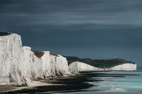
This stretch of coast runs from the edge of Brighton out toward Newhaven, and it’s the cliffs themselves that earn the SSSI status: bright white chalk with dark bands of flint running through it, laid down over millions of years and sliced clean by the sea. Fulmars nest on the ledges in season, gliding along the cliff face on stiff wings rather than flapping like the gulls around them.
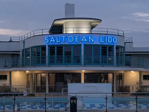
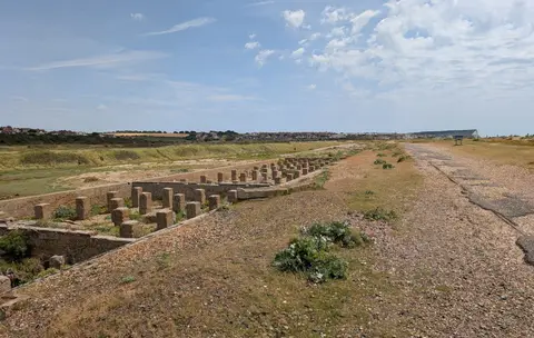
Most people experience this place from below rather than above, on the Undercliff Walk that runs along the sea wall beneath the cliffs from Black Rock, at the Brighton Marina end, as far as Saltdean, passing Rottingdean Beach on the way. It’s flat, paved and popular with cyclists and joggers as well as walkers, and makes for an easy few hours out with none of the up-and-down of a downland walk. Waves can throw spray clean over the wall when the weather’s rough, so it’s not the walk to pick if staying dry matters.
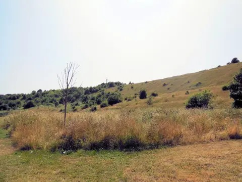
The chalk above is less stable than it appears, so keep back from the base of the cliffs and don’t be tempted to climb them. The council closes the path itself after bad rockfalls, so don’t be surprised to find a stretch fenced off. Brighton Kemptown marks the western end of this stretch, with the South Downs rising inland behind the whole length of coast.