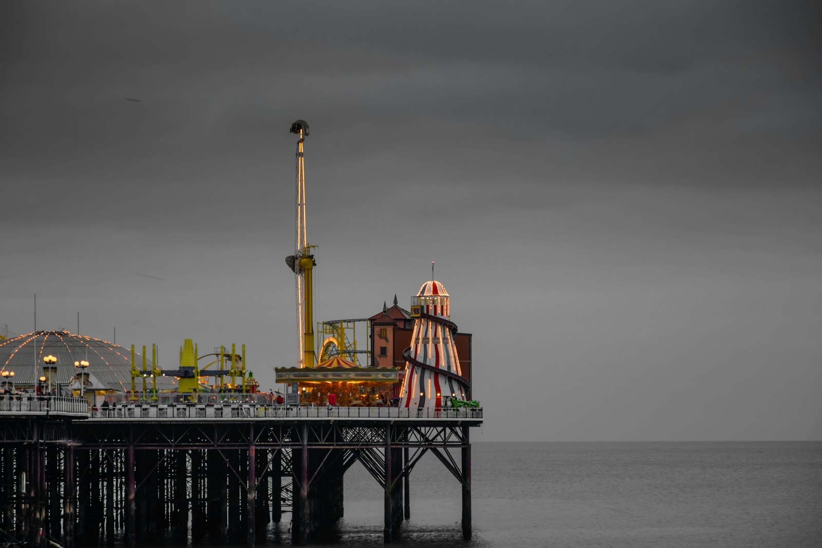
Photo Ekkanat Sartsoongnern / Unsplash
Places to explore near Brighton
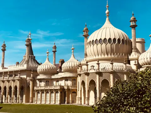
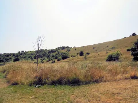
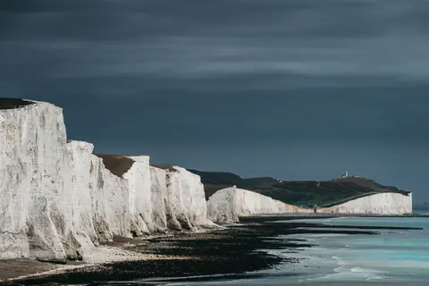
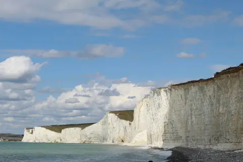
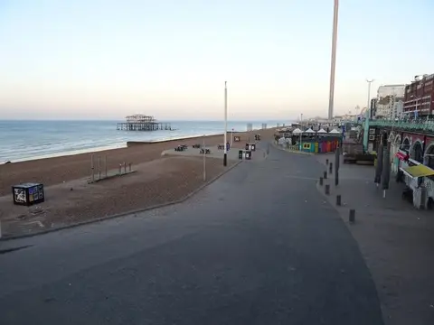
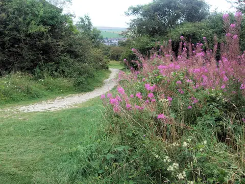
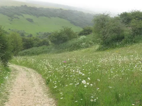
Brighton turned from fishing village to fashionable resort when the Prince Regent built his oriental Pavilion here, and the seafront still carries its Regency squares and a pier or two. Chalk downland rises straight behind the town. The South Downs roll east and west, with Ditchling Beacon the high point on the near skyline and the Iron Age ramparts of Cissbury Ring further west. The South Downs Way runs the crest to Firle Beacon and on to the white wall of the Seven Sisters.
107 places within 25 km — the standouts first, nearest first within each group. 2 are national icons.
Worth the tripnational icons and local highlights within reach

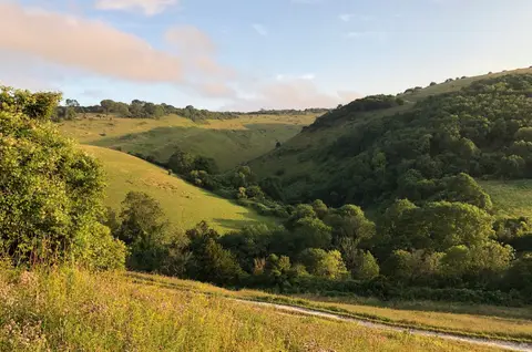
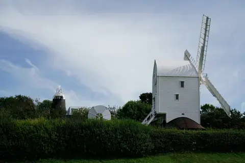
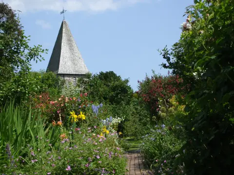
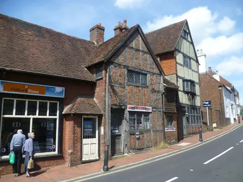
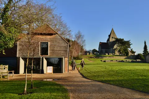
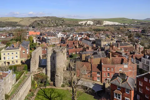
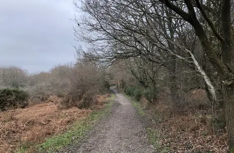
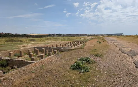
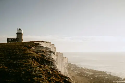
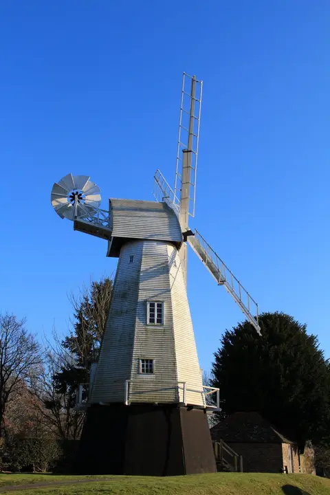
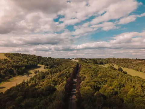
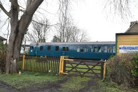
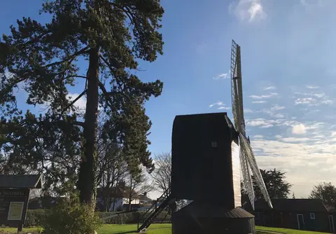
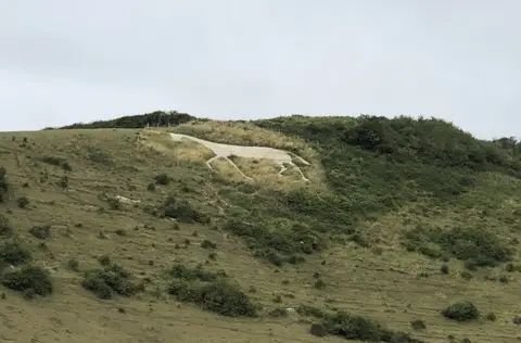
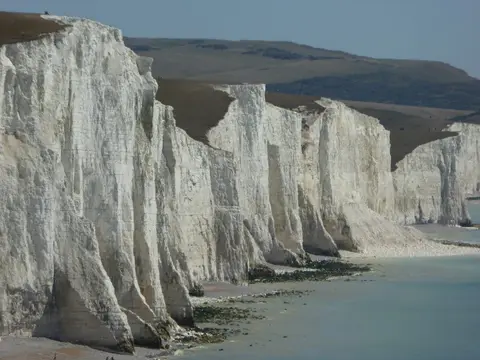
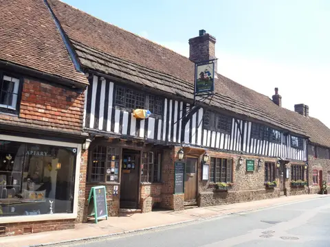

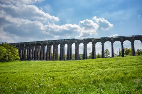
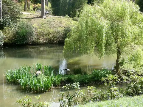
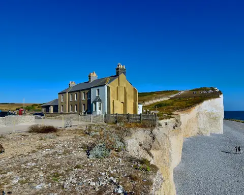
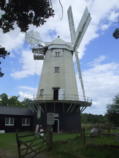
Also nearbygood places nearby, nearest first

Everything else within 25 km (56) — reserves, earthworks & places to check before travelling
- Wolstonbury HillSSSI8.8 km N
- Ditchling BeaconMarilyn9.1 km N
- The Shepherd & DogPub9.8 km NW
- FulkingVillage9.8 km NW
- St John the Baptist, ClaytonChurch9.9 km N
- Black CapCountry estate10 km NE
- Fulking EscarpmentCountry estate10 km NW
- Rushfields Farm ShopFarm & farm shop10.2 km NW
- St Michael's (Plumpton)Church10.3 km NE
- St Nicolas, Old ShorehamChurch10.6 km W
- Shoreham Gap and SouthwickCountry estate10.7 km NW
- RodmellVillage10.7 km E
- Battle of LewesBattlefield11 km NE
- St Peter'sChurch11 km E
- The Ginger FoxPub11.5 km NW
- Lancing College ChapelChurch11.9 km W
- St John the EvangelistChurch12.2 km E
- Court Garden VineyardVineyard12.4 km N
- The Jolly SportsmanPub12.6 km NE
- Coombes ChurchChurch12.9 km W
- St Botolph's, BotolphsChurch13 km NW
- Albourne EstateVineyard13.2 km N
- Luna Hut, Sea LanesSauna1.1 km SE
- Brighton KemptownSwimming spot1.2 km SE
- Beach Box SpaSauna1.3 km SE
- HoveSwimming spot2.1 km W
- Brighton to Newhaven CliffsSSSIaccess unclear2.3 km E
- Bullock HillCounty topaccess unclear5.8 km E
- Rottingdean BeachSwimming spot6.1 km E
- SouthwickSwimming spot7 km W
- SaltdeanSwimming spot7.2 km E
- Kingston Escarpment & Iford HillSSSI7.7 km NE
- West HillCounty topaccess unclear8 km NW
- Clayton to Offham EscarpmentSSSI8.7 km N
- The Royal OakPub9.3 km NW
- Shoreham BeachSwimming spot9.4 km W
- Adur EstuarySSSIaccess unclear9.7 km W
- Lewes BrooksSSSIaccess unclear10 km E
- Edburton Castle RingEarthworks of a former castle10.1 km NW
- Plumpton PlaceHouse & gardenaccess unclear10.5 km NE
- The BullPub11.1 km N
- Widewater SaunaSauna11.3 km W
- Lewes PrioryPrioryaccess unclear11.4 km NE
- Offham MarshesSSSIaccess unclear11.4 km NE
- St Michael'sChurch11.6 km NE
- Lewes CastleCastleaccess unclear11.7 km NE
- Southerham Grey PitSSSIaccess unclear12.2 km NE
- Firle EscarpmentSSSI12.3 km E
- Southerham Works PitSSSI12.4 km NE
- Asham QuarrySSSI12.7 km E
- Southerham Machine Bottom PitSSSIaccess unclear12.7 km E
- HurstpierpointVillage12.8 km N
- Lancing, Beach GreenSwimming spot13 km W
- Horton Clay PitSSSIaccess unclear13 km NW
- Ranscombe CampHillfortaccess unclear13.4 km E
- Lewes Downs (Mount Caburn)National Nature Reserve13.5 km E
Ordered by how far each place is worth travelling for, then by distance. Distances are straight-line to the nearest edge of each place — paths wind, of course.