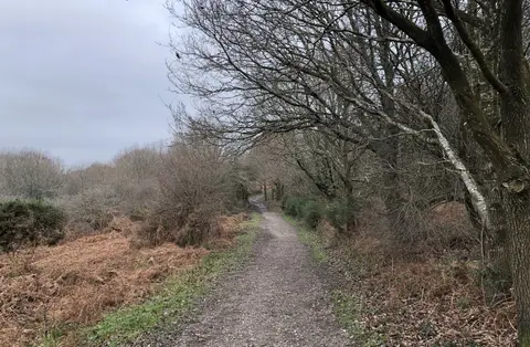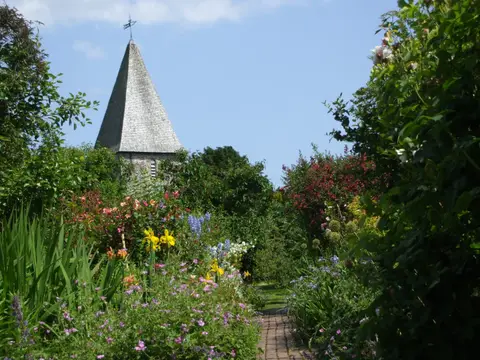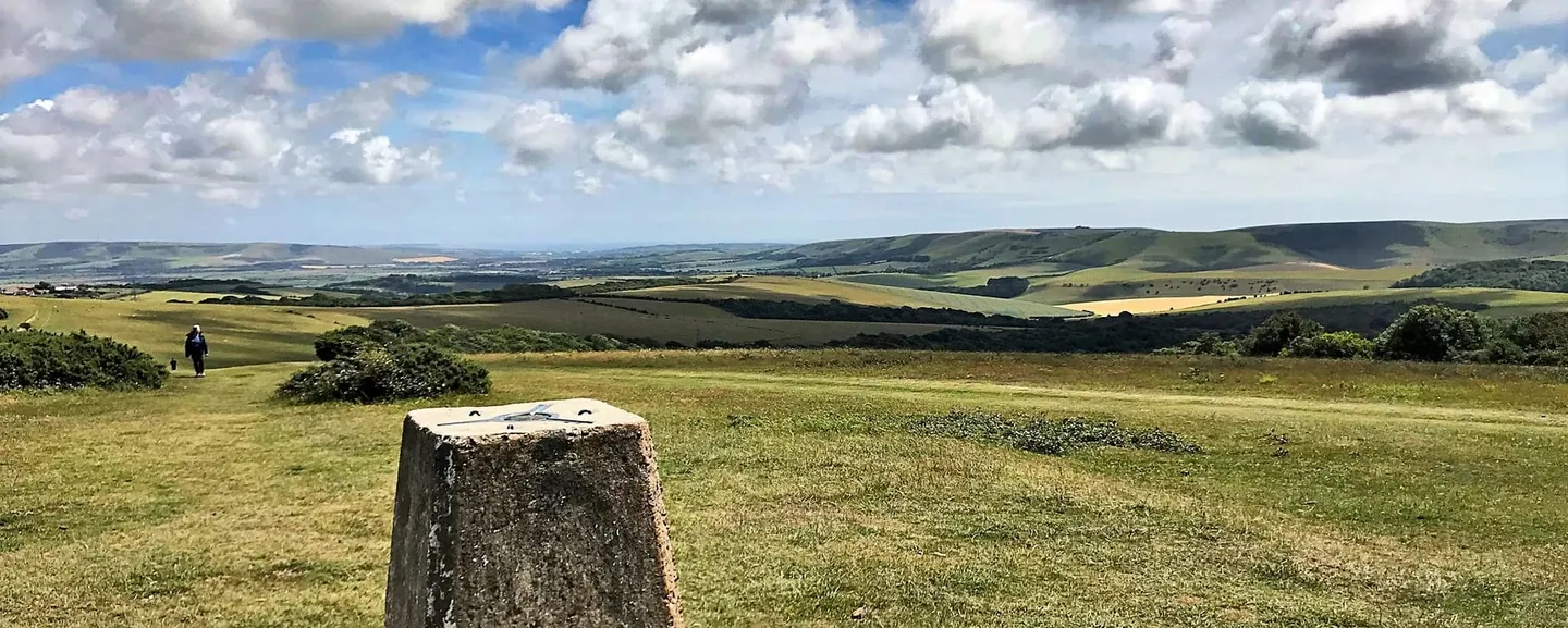
A dark clump of beeches on the ridge above Lewes, visible for miles, with the South Downs Way running right past it
Open accessNational Trust land — free to wander
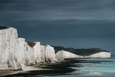
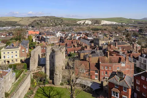
Black Cap is named for the trees, not the hill: a clump of beeches on the summit, visible as a dark smudge against the sky from most of the valley below, the same trick used on a handful of other summits along the South Downs to mark a high point for anyone navigating by eye rather than map. The South Downs Way crosses the ridge here, a natural stop on the long walk between Ditchling Beacon and Lewes rather than a destination people drive to specifically. What you get for the climb is chalk grassland managed by the National Trust and a proper panorama: the Weald to the north, Lewes Castle and the Ouse gap picked out below, and on a clear day the sea to the south. No facilities up here, just the ridge, the trees and the view, and that’s enough.