Firle Beacon
A South Downs Way summit with Bronze Age barrows on top and a wide view either side of the ridge
Open accesson open access land, where the right to roam applies
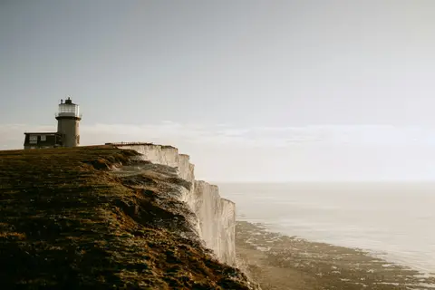
Firle Beacon doesn’t take much getting to the top of, which suits plenty of people just fine. It rises to 218 metres on the South Downs ridge above Firle village, and the last stretch is a steady pull rather than a scramble, so most reasonably fit walkers can manage it without much fuss. Hill-baggers count it as a Marilyn — one reason the view opens up so completely.
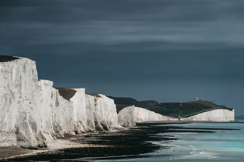
Look north and you can see the Weald below, farmland and woods reaching toward the horizon. Look south and the Channel comes into view, with Newhaven and Seaford away to the right. There’s a line of Bronze Age burial mounds along the ridge top, low grassy humps easy to miss unless you know where to look. The whole down is open access land, so there’s no need to stick to the main path if you fancy wandering along the ridge — though the southern scarp is steep, so it’s worth keeping back from the edge, especially if the grass is wet.
The South Downs Way crosses right over the summit, often making this a stop on a longer walk instead of a there-and-back trip. Firle Escarpment is just below the summit, and Mount Caburn is visible to the northwest on a clear day, with Glynde Place a short way off under the downs between the two.
More at hill-bagging.co.uk