An isolated chalk hill above Glynde, ringed by an Iron Age fort and older still underneath
Open accessin a National Nature Reserve open to the public
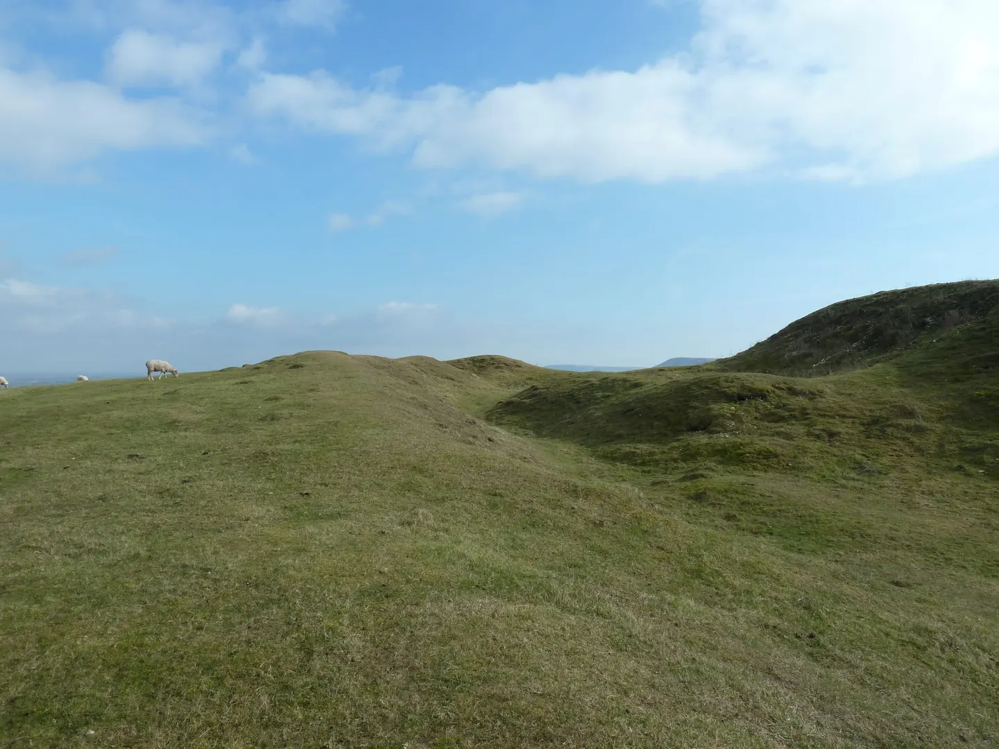
Earthworks onlybanks, ditches and platforms — read the ground, not walls
Cut off from the rest of the South Downs escarpment by a dry valley, Mount Caburn rises on its own above the Glynde valley and the River Ouse. Whoever built the Iron Age hillfort on its summit only needed to bank and ditch the side where the slope eases; everywhere else, the natural drop is steep enough on its own. The lower slopes carry the same chalk grassland as the rest of the Downs, protected today as the Lewes Downs (Mount Caburn) reserve, so the hill delivers archaeology and nature together.
People were using this hilltop long before the fort existed. A Bronze Age bowl barrow sits inside the earthworks, centuries older than the ramparts around it. It’s a pattern seen elsewhere on the Downs: hillforts built around monuments that were already ancient by the Iron Age, rather than raised on untouched ground. Archaeologists have come and gone here since Victorian times, though quite how the site was used across the centuries still isn’t settled.
History aside, today it’s simply a short, open pull up from Glynde, with the view back down over Glynde Place, along the Ouse valley, and across to Firle Beacon repaying the climb. Ranscombe Camp, a smaller fort on the same ridge, is a few minutes further along to the west. It’s open access land, and the track up is obvious enough that route-finding isn’t an issue.
More at the National Heritage List entry