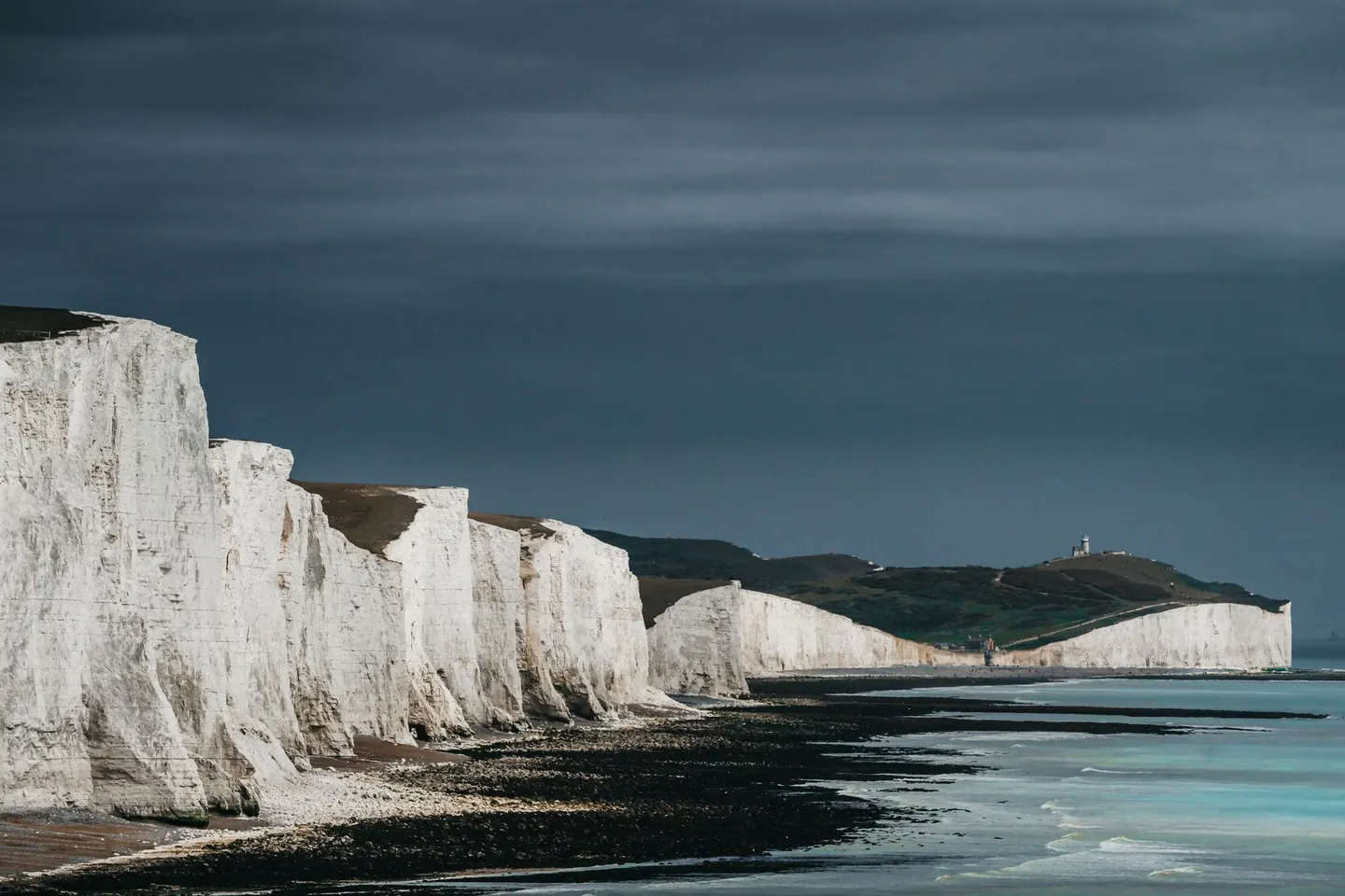
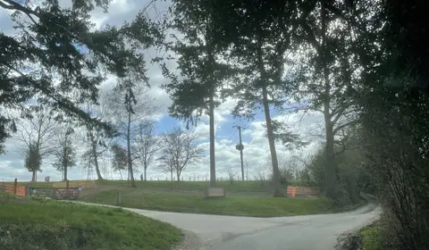
South DownsPhoto Andras Stefuca / Pexels
Places to explore near Pulborough StationPulborough
64 places within 10 km — the standouts first, nearest first within each group. 2 are national icons.
Worth the tripnational icons and local highlights within reach
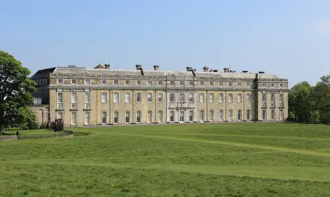

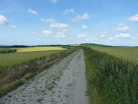
Also nearbygood places nearby, nearest first
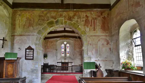
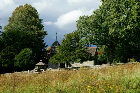
Everything else within 10 km (45) — reserves, earthworks & places to check before travelling
- Architectural PlantsGarden4.4 km NE
- West ChiltingtonVillage4.7 km E
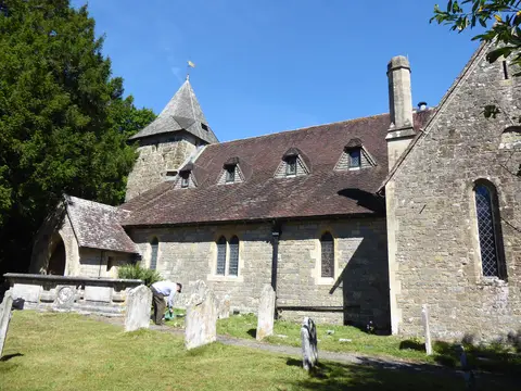
- St Mary's, West ChiltingtonChurch4.7 km E
- Bignor ParkGarden5.9 km SW
- South Downs WayNational Trail6 km S
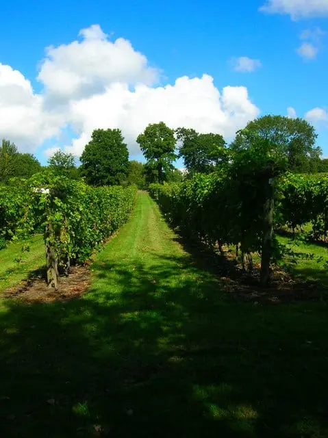
- Kinsbrook VineyardVineyard6.2 km E
- BuryVillage6.3 km SW
- Sullington WarrenSSSI6.5 km SE
- BignorVillage7.1 km SW
- Wisborough GreenVillage7.3 km N
- St Mary the Virgin, North StokeChurch8.2 km S
- The Half MoonPub8.4 km N
- Warren HillCountry estate8.7 km SE
- The Horse Guards InnPub8.7 km NW
- Lavington CommonSSSI9 km W
- The George at BurphamPub9.7 km S
- Park Farm CuttingSSSIaccess unclear0.4 km NW
- Pulborough Park motte and baileyEarthworks of a former castleaccess unclear0.6 km NW
- Upper ArunSSSIaccess unclear0.9 km NW
- Hardham PrioryPrioryaccess unclear1.7 km SW
- Marehill QuarrySSSIaccess unclear2 km E
- Lickfold Roman Bath House, WiggonholtRoman bathsaccess unclear2.4 km SE
- Waltham BrooksSSSI2.6 km SW
- Hurston WarrenSSSIaccess unclear2.7 km SE
- The Swan InnPub3.3 km W
- The MensSSSI3.6 km NW
- Amberley Wild BrooksSSSI3.7 km S
- Bognor Common QuarrySSSI4.1 km NW
- Coates CastleSSSIaccess unclear5.1 km W
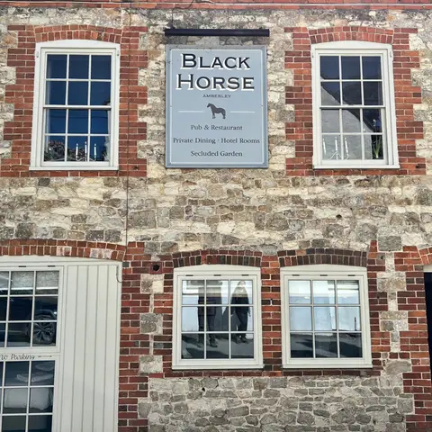
- The Black HorsePub5.5 km S
- Amberley CastleCastleaccess unclear5.6 km S
- Amberley Mount to Sullington HillSSSI5.7 km S
- Burton ParkSSSI6.1 km W
- Bignor Roman VillaRoman archaeological siteaccess unclear6.7 km SW
- Chantry MillSSSIaccess unclear6.8 km SE
- Duncton to Bignor EscarpmentSSSI7 km SW
- Little ThakehamHouse & gardenaccess unclear7.2 km SE
- The White Horse InnPub7.3 km W
- Arundel ParkSSSI7.9 km S
- Arun BanksSSSIaccess unclear8 km S
- Coneyhurst CuttingSSSIaccess unclear8.2 km NE
- The CricketersPub8.4 km W
- Fairmile BottomSSSI8.9 km SW
- Stane Street, Eartham to BignorRoman archaeological site9 km SW
- Coppedhall HangerSSSIaccess unclear9.6 km N
Ordered by how far each place is worth travelling for, then by distance. Distances are straight-line to the nearest edge of each place — paths wind, of course.