Sixty-two miles of beaches, dunes and castles up the Northumberland coast, from Cresswell to Berwick-upon-Tweed
Indicative — sampled from open terrain data along the simplified route.
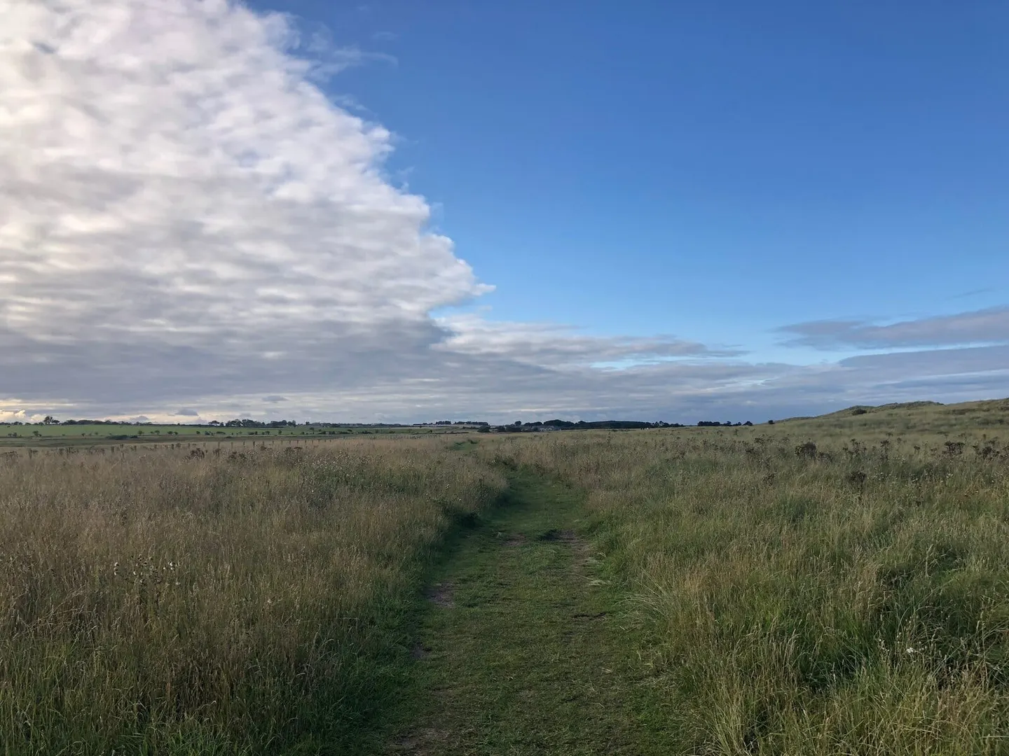
The Northumberland Coast Path runs 62 miles up the north-east coast, from Cresswell in the south to Berwick-upon-Tweed at the Scottish border. Nearly all of it lies within the Northumberland Coast National Landscape, and the walking is among the easiest of any long route in England — level going over sand, dune, low cliff and sea wall, rarely far from a village. Most people take five or six days; a strong walker can manage it in three or four.
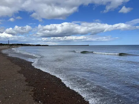
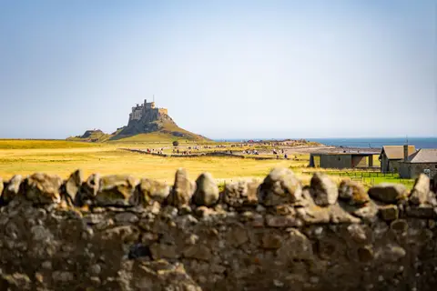
The coast is the draw, and so are the castles set along it. The path passes three: Warkworth, largely intact above the River Coquet; the ruined Dunstanburgh, reached only on foot along the shore from Craster; and Bamburgh, restored on its rock above the dunes. Between them lie the wide sands of Alnmouth, Embleton and Beadnell, the fishing village of Seahouses, and long views out to the Farne Islands, where seabirds and grey seals breed. Near the northern end the route runs opposite Holy Island, reached by a tidal causeway that floods twice a day.
Access is good. Both Alnmouth and Berwick are on the East Coast Main Line, and buses run the coast in summer, so the path divides easily into day sections; Cresswell, the southern end, is the one point without a nearby station.
The Northumberland Coast was designated an Area of Outstanding Natural Beauty in 1958, now a National Landscape, and the path takes in the length of it. For much of the way it shares its course with St Oswald’s Way, which reaches the coast from inland, and the whole line now also forms part of the England Coast Path.