A small west Norfolk chalk stream running to the Great Ouse at King's Lynn, among the least altered of its kind
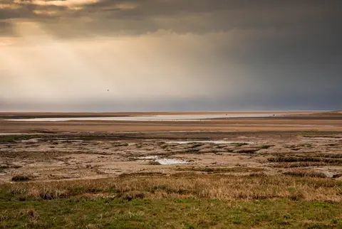
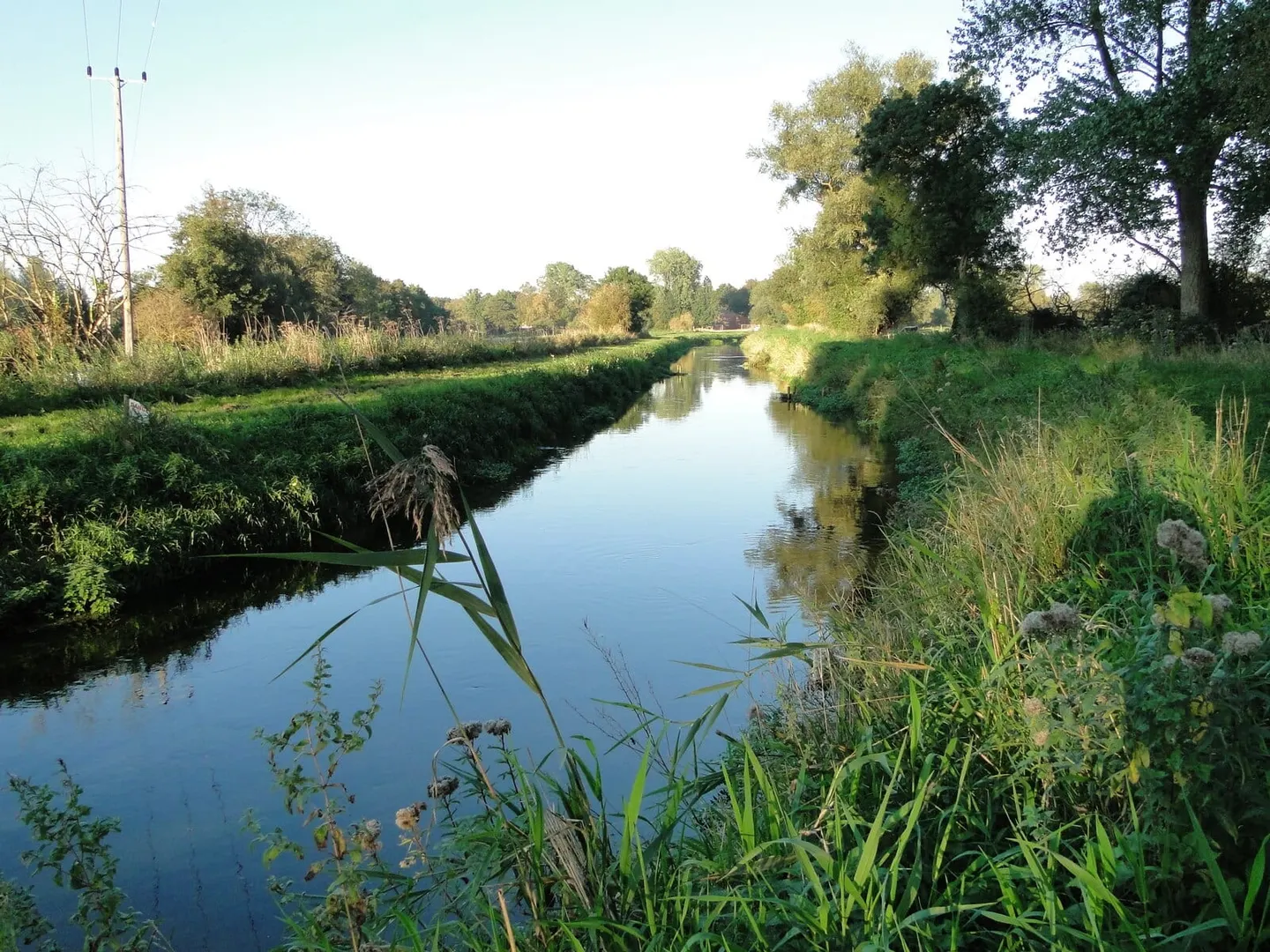
The Nar is a quiet, narrow river that rises near Mileham and runs about twenty-four miles west to the Great Ouse at King’s Lynn. The upper half is chalk stream proper, clear over gravel, and the lower half slows into fen and old peat workings. Very little of it has been straightened or dredged, which is unusual for lowland East Anglia and is the reason it is protected end to end.
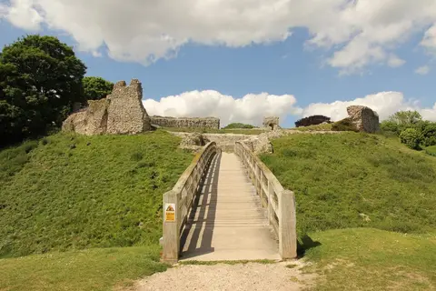
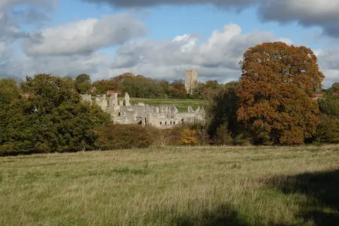
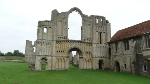
The best of it is around Castle Acre, where the river runs below the village between the Norman castle earthworks and the ruins of Castle Acre Priory. The Nar Valley Way follows the river from there, and the Peddars Way crosses it at the ford. West Acre Priory stands a couple of miles downstream on the same bank.
King’s Lynn Station is the nearest train, at the river’s tidal end.