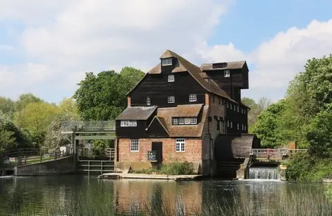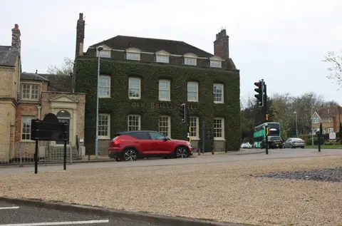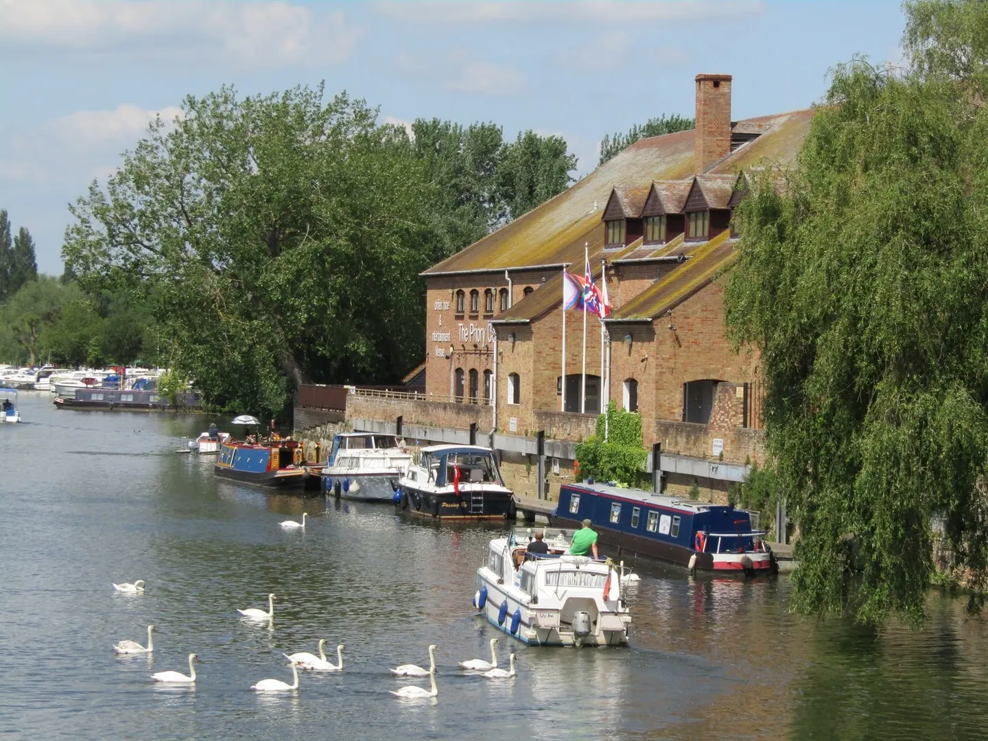
The long fenland navigation from Bedford down through the Cambridgeshire fens to Denver Sluice and the Wash
This is the East Anglian Great Ouse — the slow fenland river that rises in Northamptonshire and drains much of the flat country of Bedfordshire, Cambridgeshire and Norfolk, not the Yorkshire Ouse that runs through York. As a navigation it is one of the longest connected river systems in the country, cruised for around seventy miles from Bedford down to Denver Sluice, below which it becomes tidal and runs on to the Wash at King’s Lynn.
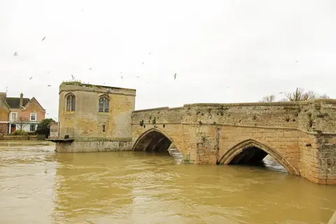
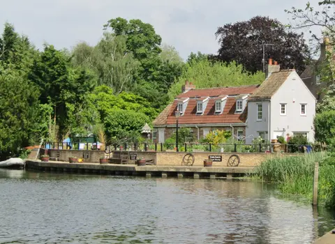
The river is broad, gentle and lock-separated rather than fast, and it passes through pleasant riverside towns — St Neots, Huntingdon, St Ives with its medieval bridge chapel, and Ely beneath its cathedral — before entering the true fens. Below Ely the landscape opens into the drained levels, with the river held up between high banks above fields that lie below the water. Near Denver it meets the great engineered drainage cuts, the Old and New Bedford rivers, and the Ouse Washes, the flood-storage grassland that fills each winter and draws huge numbers of wildfowl.
Made navigable in stages from the 1600s, the Great Ouse could be reached as far as Bedford by 1689, with Denver Sluice built to hold back the tide and protect the fen drainage. The navigation fell derelict in the 19th century as railways took the trade, and the upper river to Bedford was only fully reopened to boats in the 1970s.
Denver Sluice, at the tidal limit, is the hub of the whole fen drainage system — the point where the navigable rivers, the drains and the tideway all meet.