The river of Cambridge and its colleges, navigable from the city down through the fens to the Great Ouse
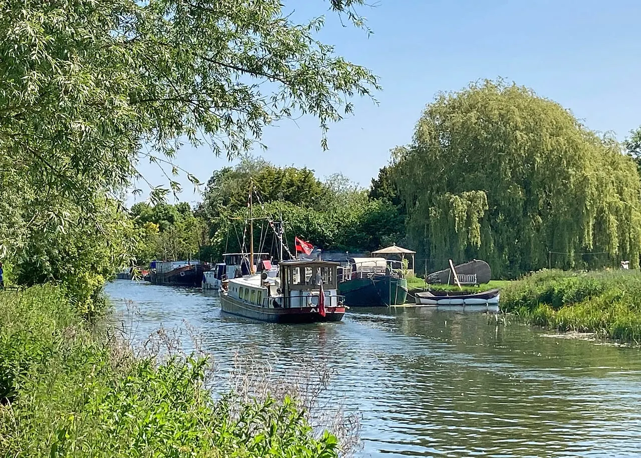
The Cam is the river of Cambridge — the one that runs behind the colleges, not the small Gloucestershire stream of the same name near Dursley. Above the city it is often called the Granta. The navigable river is short: from Mill Pool, at the head of navigation in the middle of Cambridge, it runs a few miles north and east through flat fen country to join the River Great Ouse below Waterbeach, and through the Ouse it connects to the wider East Anglian waterways.
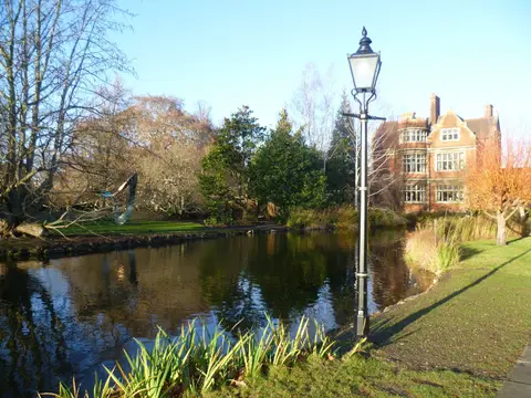
The famous stretch is the Backs, where the river threads past King’s, Clare, Trinity and St John’s, crossed by their bridges and lined with lawns running down to the water. This is punting country in summer, busy with hired and chauffeured punts; upstream, above the town, quieter punts run out to the meadows at Grantchester. Below Cambridge the character changes entirely to open, level fenland, with the river held between banks above the surrounding drained land.
The Cam has been managed for navigation for a long time. The Conservators of the River Cam were established by Act of Parliament in 1702 to keep the river above Bottisham navigable, and they remain the navigation authority for the stretch from the Mill Pool down to Bottisham Lock; the Environment Agency looks after Bottisham Lock itself and the short reach below it. Boats heading for the Ouse pass three locks: Jesus Lock in the city, then Baits Bite and Bottisham.
For most visitors the Cam is a walking and punting river rather than a cruising one — the towpath from the city out to Grantchester and down through the meadows is an easy, level walk, and Ely with its cathedral lies not far downstream on the Ouse.