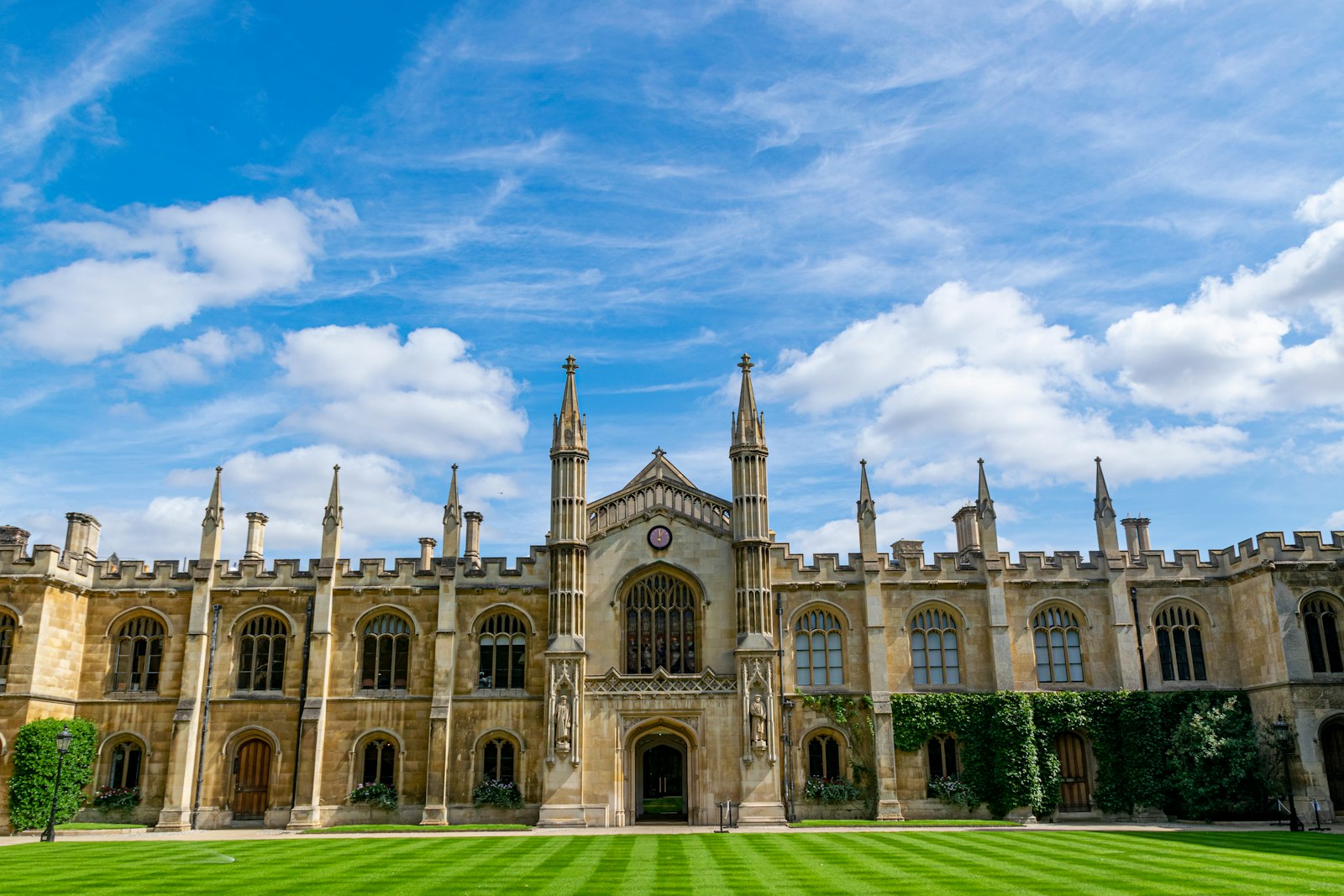
Photo Julius Dūdėnas / Unsplash
Places to explore near Cambridge
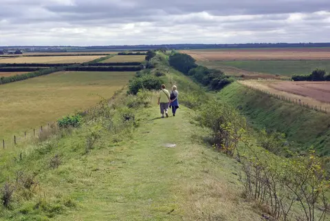
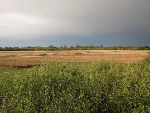
The university city on the River Cam grew from a Roman crossing and a Saxon market into a place of colleges, chapels and punt-crossed backs. Flat, huge-skied country surrounds it. The Fens stretch north, where Wicken Fen preserves a fragment of the old undrained wetland alive with birds and dragonflies. Just south the chalk lifts a little, carrying the ancient earthwork of Devil's Dyke across the fields towards Wandlebury on the Gog Magog hills. Upstream the meadow path leads to Grantchester and its riverside orchard.
95 places within 25 km — the standouts first, nearest first within each group. 3 are national icons.
Worth the tripnational icons and local highlights within reach


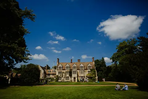
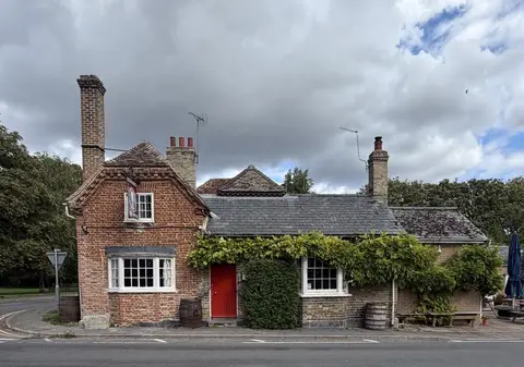
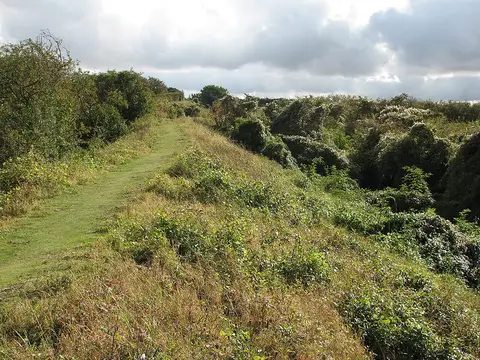
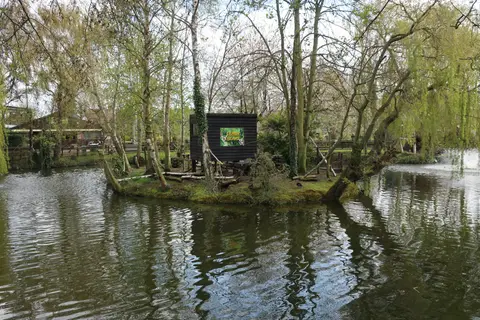

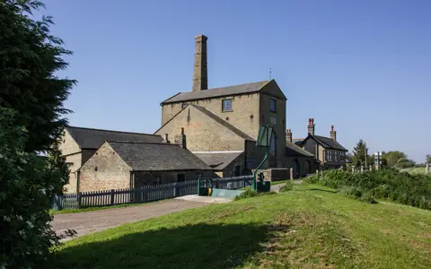
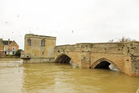
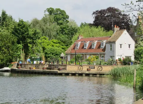
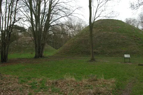
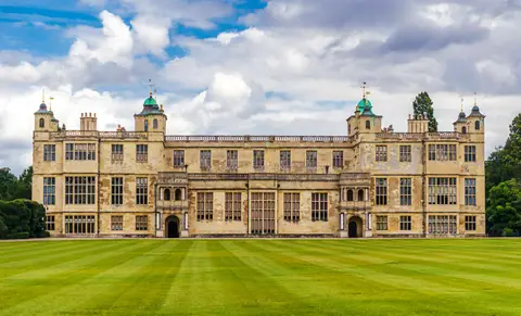
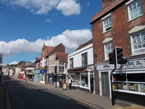
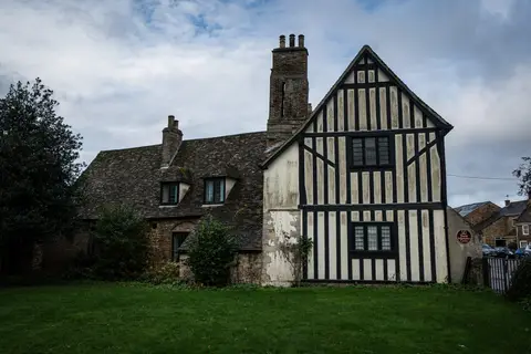
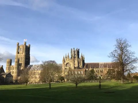
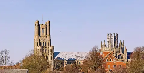
Also nearbygood places nearby, nearest first
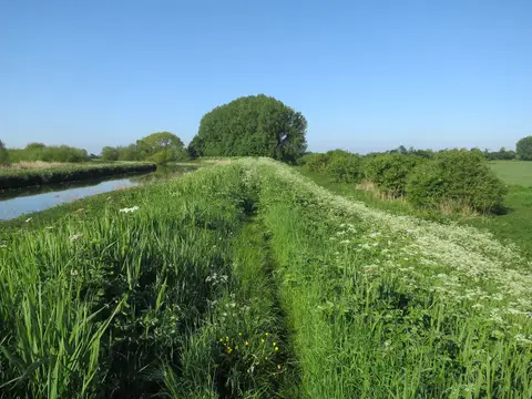
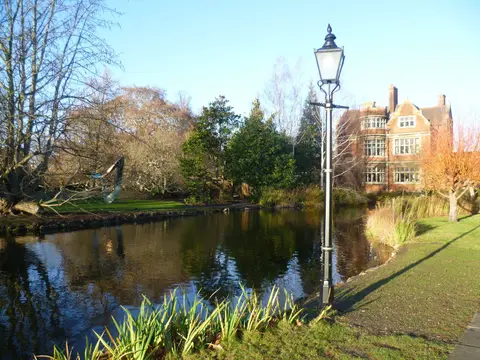
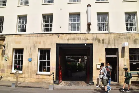
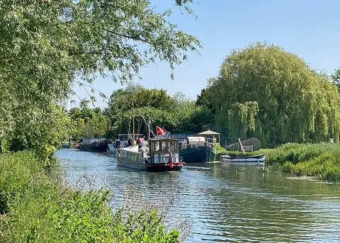
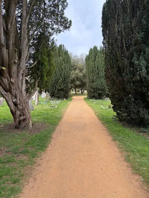
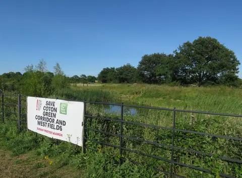
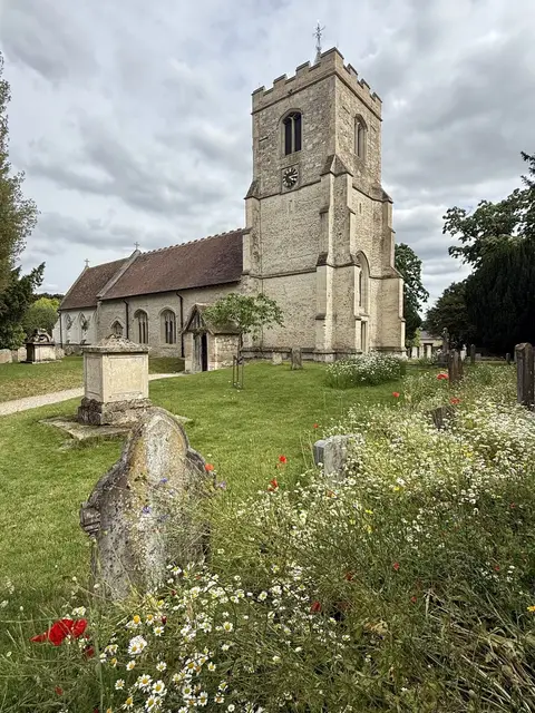
Everything else within 25 km (58) — reserves, earthworks & places to check before travelling
- Histon Windmill (Chivers' Mill)Windmill5.4 km N
- Wandlebury Country ParkCountry park6.3 km SE
- Holy Trinity Church, BottishamChurch9.6 km E
- BarringtonVillage10.4 km SW
- Denny AbbeyAbbey10.9 km NE
- Duxford ChapelChapel11.6 km S
- The John BarleycornPub12.6 km S
- Ouse Valley WayLong-distance path12.9 km N
- River Great OuseRiver navigation12.9 km N
- St Mary and All Saints, WillinghamChurch12.9 km N
- St Mary and St Cyriac (Swaffham Prior)Church12.9 km NE
- Foster's Mill, Swaffham PriorWindmill13.4 km NE
- Cambridge motteEarthworks of a former castleaccess unclear1 km NW
- Sheep's Green, River CamSwimming spot1.1 km S
- Chesterton AbbeyAbbeyaccess unclear1.8 km NE
- Traveller's Rest PitSSSIaccess unclear2.5 km NW
- Histon RoadSSSIaccess unclear2.8 km N
- The Plough (Coton)Pub3.8 km W
- Fen DittonVillage3.9 km NE
- Cherry Hinton PitSSSIaccess unclear4.1 km SE
- Madingley WoodSSSIaccess unclear4.9 km W
- Gog Magog Golf CourseSSSI5.2 km SE
- Roman RoadSSSIaccess unclear5.7 km SE
- Wilbraham FensSSSIaccess unclear6.1 km E
- Wandlebury CampHillfort6.6 km SE
- Stow-cum-Quy FenSSSI7.1 km NE
- Fulbourn FenSSSIaccess unclear7.9 km E
- Waterbeach AbbeySite of a former abbeyaccess unclear8 km NE
- Great Wilbraham CommonSSSI8 km E
- Dernford FenSSSIaccess unclear8.1 km S
- Barrington Chalk PitSSSI8.5 km SW
- Borough Hill (Cambridgeshire)Hillfortaccess unclear9.2 km S
- The Hole in the WallPub9.2 km E
- Whittlesford - Thriplow Hummocky FieldsSSSIaccess unclear9.3 km S
- Hardwick WoodSSSIaccess unclear9.4 km W
- Giant's HillEarthworks of a former castleaccess unclear9.8 km N
- Childerley HallHouse & gardenaccess unclear9.9 km W
- Caldecote MeadowsSSSIaccess unclear10.1 km W
- Sawston Hall MeadowsSSSIaccess unclear10.1 km S
- Thriplow Peat HolesSSSIaccess unclear10.5 km S
- Barrington PitSSSIaccess unclear11.2 km SW
- Eversden and Wimpole WoodsSSSIaccess unclear11.3 km SW
- Thriplow MeadowsSSSIaccess unclear11.3 km S
- Orwell Clunch PitSSSI11.6 km SW
- Pampisford HallHouse & gardenaccess unclear11.8 km SE
- Earthworks at the AbbeyAbbeyaccess unclear11.9 km NE
- Overhall GroveSSSIaccess unclear11.9 km NW
- Belsar's Hill ringworkEarthworks of a former castleaccess unclear12.1 km N
- Cam WashesSSSIaccess unclear12.2 km NE
- L-moor, SheprethSSSIaccess unclear12.6 km SW
- St John the Baptist, DuxfordChurch12.6 km S
- Kingston Wood and OutliersSSSIaccess unclear12.7 km W
- The Round MoatEarthworks of a former castleaccess unclear12.9 km S
- The Willow TreePub12.9 km W
- BournVillage12.9 km W
- Ringwork at Bourn HallEarthworks of a former castleaccess unclear13 km W
- Alder CarrSSSIaccess unclear13 km SE
- Fowlmere Watercress BedsSSSIaccess unclear13.2 km S
Ordered by how far each place is worth travelling for, then by distance. Distances are straight-line to the nearest edge of each place — paths wind, of course.