Fifty flat miles down the Cam and the Great Ouse, from Cambridge across the Fens to King's Lynn
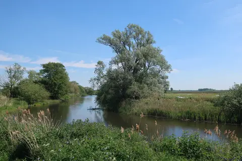
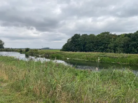
The Fen Rivers Way runs about 50 miles from Cambridge to King’s Lynn, following two rivers across the flat country of the Fens. It leaves Cambridge along the River Cam, passes Ely with its cathedral standing over the level ground, and joins the River Great Ouse at the old confluence, then keeps to the Ouse north to the tidal quays of King’s Lynn and the edge of The Wash.
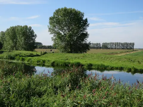
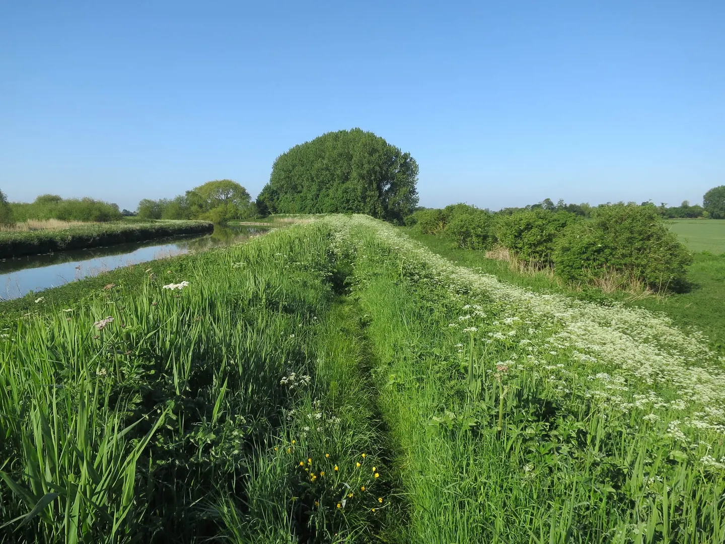
It is about as easy as long-distance walking gets. The path holds to flood banks and riverside droves the whole way, so there is no climbing worth the name, and the surfaces are firm. What it asks instead is a head for open, exposed distance: the Fens are wide and treeless, the skies large, and the route can feel remote even though it is never far from a road. Two to three days is the usual pace.
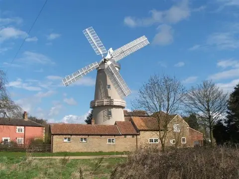
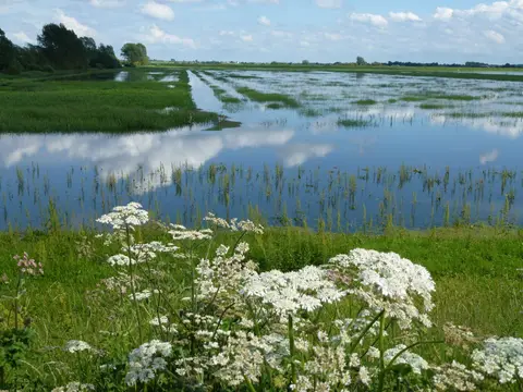
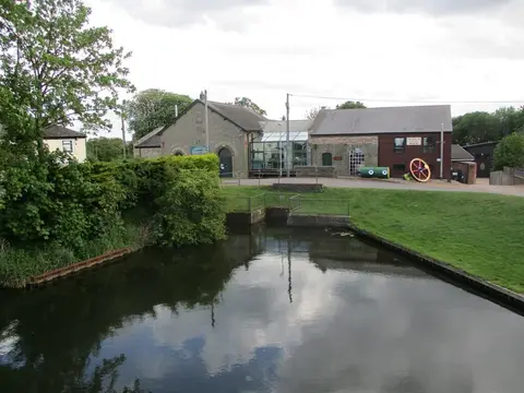
The rivers it follows were the making of this landscape. The Cam and the Great Ouse were the natural drains of the peat fenland, and the straightened channels, sluices and pumping stations along the way are the marks of the centuries of drainage that turned marsh into farmland. Ely was an island in that marsh before it was reclaimed.
The route was named through a public competition run by a Cambridge newspaper in 1995, its logo an eel. Both ends have stations, and the line between Cambridge, Ely and King’s Lynn shadows much of the walk, so it is straightforward to ride out and walk a section back.