A quiet chalk tributary of the Great Ouse, navigable up from the Ely fens to Jude's Ferry near Mildenhall
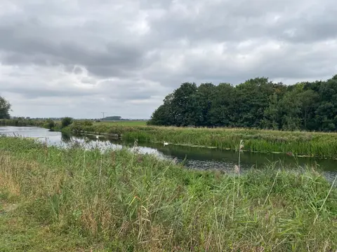
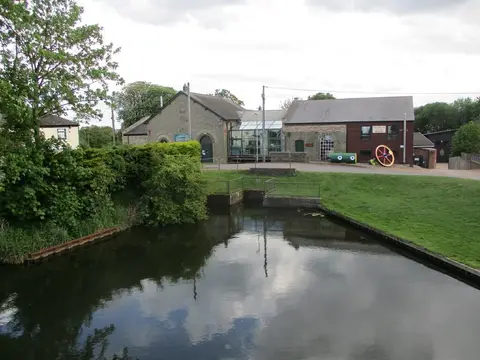
The Lark is a chalk stream that rises in west Suffolk and flows down through the fens to join the River Great Ouse north of Ely. The navigable part is short and little-used: boats can turn off the Ouse and follow the Lark for about ten miles up to Jude’s Ferry, near Mildenhall, passing Isleham and the drained fen country around Prickwillow, where a pumping-station museum tells the story of how this low ground is kept dry. There is one working lock, at Isleham.
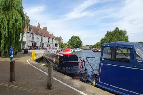
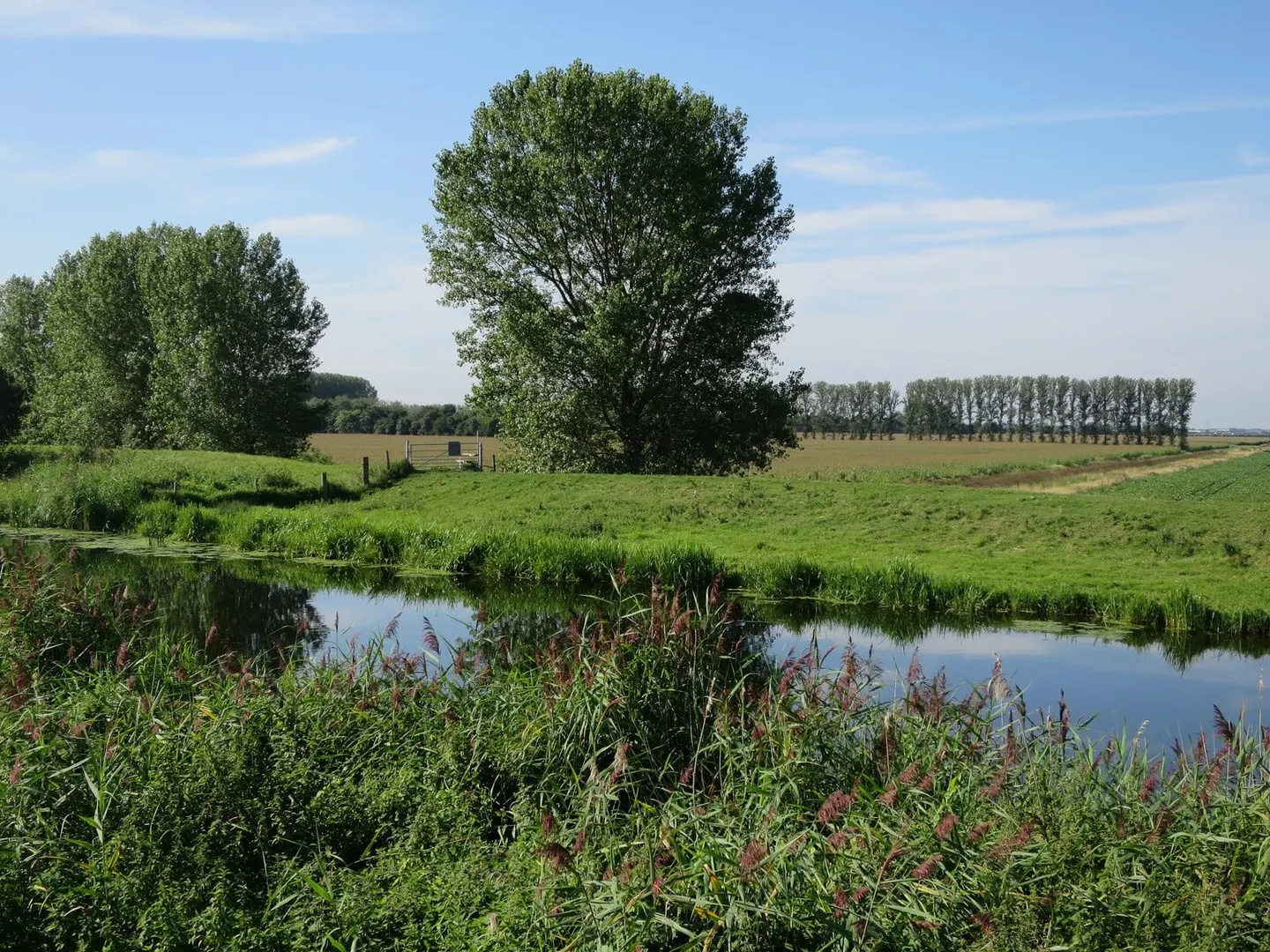
It is a placid, out-of-the-way river, banked up above the surrounding fields like the other fen waterways and largely given over to anglers, wildlife and the occasional cruiser rather than through traffic. The water is clear and slow, and the fen edge nearby holds some of the region’s best wetland, including Wicken Fen a short way to the south-west.
The Lark was once a far more important navigation. It was made navigable under an Act of 1698 and carried barges the twenty-odd miles up to Bury St Edmunds, restoring an old trade link through to King’s Lynn and the sea. Commercial traffic held on into the 1920s before the upper river was abandoned and its locks fell out of use, leaving only the lower reach open. Today Jude’s Ferry marks the practical head of navigation.
For a walker or paddler it is one of the quietest corners of the fens — flat, wide-skied and empty, with Ely’s cathedral visible for miles across the levels as the one landmark on the horizon.