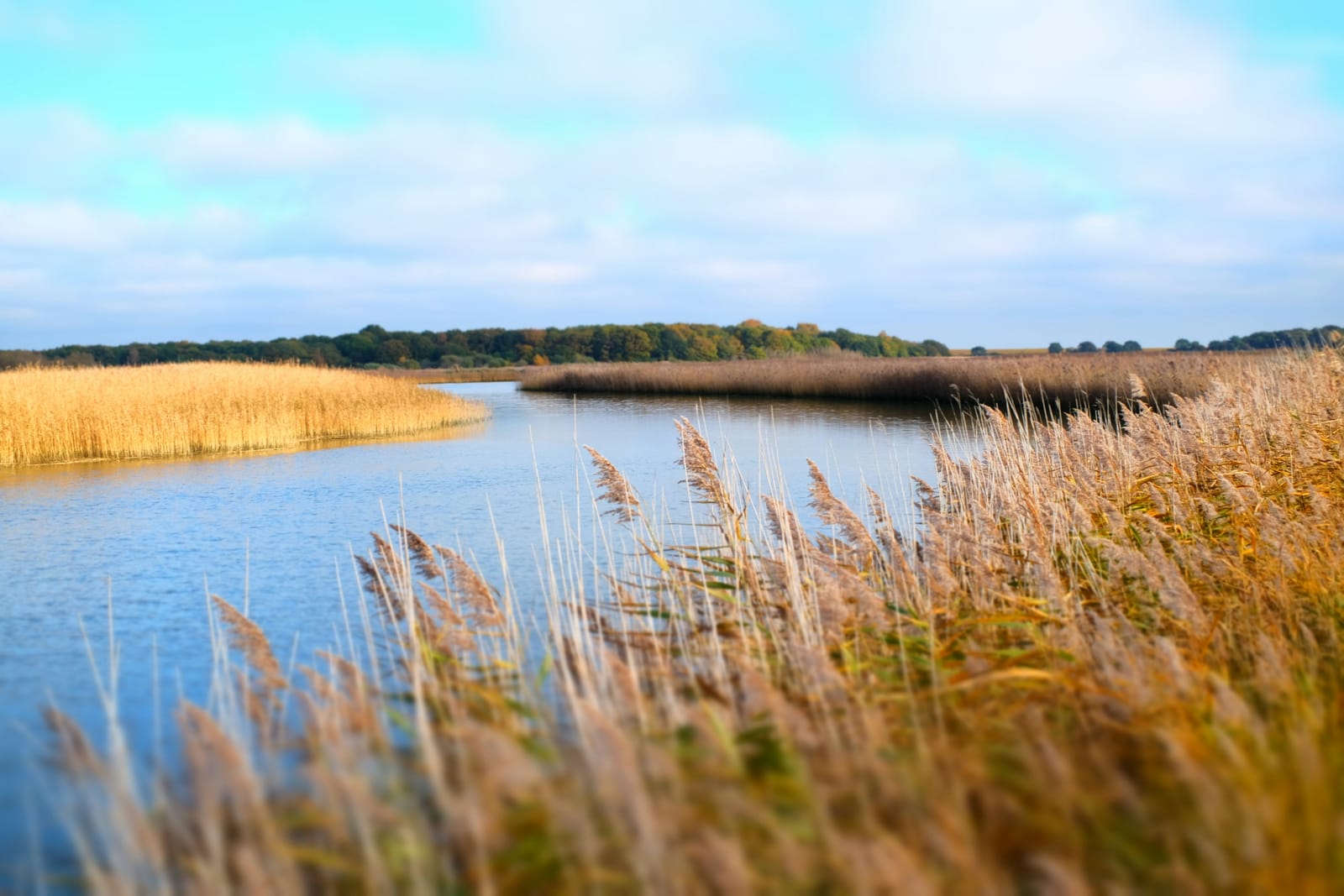
Photo Matt Cornwell / Unsplash
Places to explore in SuffolkEngland · East of England
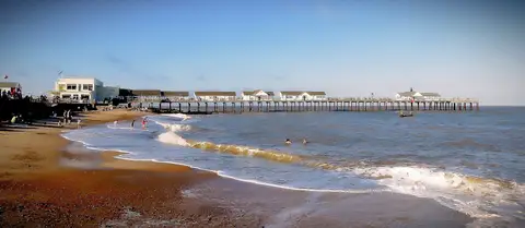
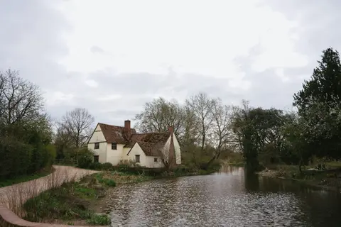
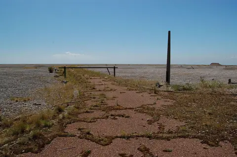
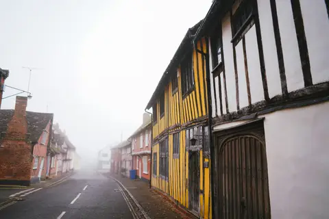
Gentle and low-lying, Suffolk is a county of arable fields, timber-framed towns and a soft, eroding coast. Constable grew up in the water-meadows of Dedham Vale and painted the mill at Flatford, while the wool trade left the medieval streets of Lavenham largely intact. Along the shore, shingle and reed run from the pier at Southwold south to the concert halls of Aldeburgh, with the long spit of Orford Ness between. At Sutton Hoo, above the Deben, an Anglo-Saxon king was buried in a ship.
The best of Suffolkworth the trip

Villages & towns in Suffolk 26
Other sights in Suffolk 12
Houses & gardens in Suffolk 18
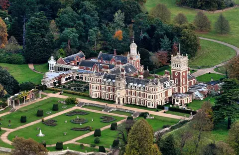
- Somerleyton Hall1.7 km²
- Helmingham Hall1.6 km²
- Ickworth House7.3 km²
- Kentwell Hall1.5 km²
- Melford Hall0.7 km²
- Fullers Mill Garden
- Wyken Hall Gardens
- Old and New Cemetery, Ipswich0.25 km²
- Staverton Park1.5 km²
- Angel Corner
- East Bergholt Place Garden
- Guildhall Of Corpus Christi
- Otley Hall Gardens
- Thorington Hall & Studio
- Euston Hall5.8 km²
Show all 18 houses and gardens in Suffolk
- Heveningham Hall2.3 km²
- Shrubland Hall2.5 km²
- Campsey Ashe Park0.73 km²
Windmills in Suffolk 8
Pubs & restaurants in Suffolk 17
- Greyhound Inn
- The Crown (Stoke-by-Nayland)
- The Swan (Stratford St Mary)
- Tuddenham Mill
- Kings Head (The Low House)
- The Bildeston Crown
- The King's Head (Laxfield)
- The Nutshell
- The Parrot and Punchbowl
- The Plough and Sail
- The Ship at Dunwich
- The Unruly Pig
- The Westleton Crown
- The Anchor
- The Leaping Hare
Show all 17 pubs and restaurants in Suffolk
Beaches & swimming in Suffolk 11
Protected landscapes in Suffolk 3
- The Broads302 km²
- Dedham Vale91 km²
- Suffolk Coast & Heaths405 km²
Castles & strongholds in Suffolk 18
- Framlingham Castleruin
- Orford Castleruin
- Bungay Castleruin
- Eye Castleruin
- Clare Castleruin
- Freckenham Castleruin
- Great Ashfield Castleruin
- Haughley Castleruin
- Lidgate Castleruin
- Lindsey Castleruin
- Mettingham Castleruin
- Wenham Castleruin
- Castle Yardearthworks
- Denham Castleearthworks
- Ringwork in Burgate Woodearthworks
Show all 18 castles in Suffolk
- Ringwork in Burnthall Plantationearthworks
- The Mountearthworks
- The Mount motte and baileyearthworks
Nature reserves in Suffolk 153
- Orford Ness
- Fritton Lake Country Park1.8 km²
- Knettishall Heath Country Park1.5 km²
- Lonely Farm Country Park0.26 km²
- Orwell Country Park0.92 km²
- West Stow Country Park0.48 km²
- Brandon Country Park0.15 km²
- Clare Castle Country Park0.1 km²
- Easton Farm Country Park0.14 km²
- Great Cornard Country Park0.14 km²
- Kessingland Country Park0.26 km²
- Nowton Park0.67 km²
- Alde-Ore Estuary25 km²
- Breckland Farmland134 km²
- Breckland Forest181 km²
Show all 153 nature reserves in Suffolk
- Minsmere-Walberswick Heaths and Marshes23 km²
- Sandlings Forest25 km²
- Stour Estuary22 km²
- Berner's Heath, Icklingham2.4 km²
- Deadman's Grave, Icklingham1.3 km²
- Foxhole Heath, Eriswell0.85 km²
- Lackford Lakes1.1 km²
- Lakenheath Warren5.9 km²
- Leiston - Aldeburgh5.4 km²
- Orwell Estuary13 km²
- RAF Lakenheath1.1 km²
- Sizewell Marshes1.1 km²
- Sutton and Hollesley Heaths4.8 km²
- Wangford Warren and Carr0.68 km²
- Weather and Horn Heaths, Eriswell1.3 km²
- Benacre3.7 km²
- Bradfield Woods0.7 km²
- Cavenham Heath2 km²
- Orfordness-Havergate9 km²
- Redgrave & Lopham Fen1.3 km²
- Suffolk Coast6.5 km²
- Thetford Heath0.98 km²
- Barking Woods0.99 km²
- Barnby Broad & Marshes1.9 km²
- Barnham Heath0.79 km²
- Bixley Heath0.05 km²
- Blaxhall Heath0.46 km²
- Blo' Norton and Thelnetham Fens0.21 km²
- Bugg's Hole Fen, Thelnetham0.04 km²
- Cattawade Marshes0.89 km²
- Chippenhall Green0.16 km²
- Cornard Mere, Little Cornard0.09 km²
- Deben Estuary9.8 km²
- Fakenham Wood and Sapiston Great Grove2 km²
- Freston and Cutler's Woods1.4 km²
- Hintlesham Woods1.2 km²
- Ipswich Heaths0.39 km²
- Kentwell Woods0.78 km²
- Lineage Wood and Railway Track0.79 km²
- Little Heath, Barnham0.46 km²
- Maidscross Hill0.45 km²
- Newmarket Heath2.8 km²
- Potton Hall Fields, Westleton0.17 km²
- Snape Warren0.48 km²
- Sotterley Park1.2 km²
- Sprat's Water and Marshes0.57 km²
- Stanton Woods0.66 km²
- Trundley and Wadgell's Woods0.79 km²
- Tunstall Common0.37 km²
- Weston Fen (Suffolk)0.5 km²
- Wortham Ling0.53 km²
- Westleton Heath0.48 km²
- Abbey Wood, Flixton0.18 km²
- Aldeburgh Brick Pit0.01 km²
- Aldeburgh Hall Pit0.01 km²
- Arger Fen0.5 km²
- Bangrove Wood, Ixworth0.19 km²
- Bawdsey Cliff0.17 km²
- Black Ditches, Cavenham0.02 km²
- Bobbitshole, Belstead0.02 km²
- Brent Eleigh Woods0.32 km²
- Buckanay Farm Pit, Alderton0.01 km²
- Burgate Wood0.3 km²
- Cavendish Woods0.54 km²
- Cherry Hill and The Gallops0.1 km²
- Chillesford Church Pit0.01 km²
- Combs Wood0.15 km²
- Corton Cliffs0.06 km²
- Crag Farm Pit, Sudbourne0.05 km²
- Crag Pit, Aldeburgh0 km²
- Crag Pit, Sutton0.01 km²
- Cransford Meadow0.05 km²
- Creeting St. Mary Pits0.05 km²
- Dew's Ponds0.07 km²
- Edwardstone Woods0.27 km²
- Elmsett Park Wood0.09 km²
- Eriswell Low Warren0.07 km²
- Ferry Cliff, Sutton0.03 km²
- Flixton Quarry0 km²
- Fox Fritillary Meadow, Framsden0.02 km²
- Frithy and Chadacre Wood0.29 km²
- Gedgrave Hall Pit0.01 km²
- Gipping Great Wood0.26 km²
- Glemsford Pits0.33 km²
- Gosbeck Wood0.23 km²
- Great Blakenham Pit0.02 km²
- Gromford Meadow0.02 km²
- Groton Wood0.2 km²
- Gypsy Camp Meadows, Thrandeston0.02 km²
- Hascot Hill Pit0 km²
- Hay Wood, Whepstead0.1 km²
- High House Meadows, Monewden0.03 km²
- Holton Pit0.02 km²
- Hopton Fen0.15 km²
- Horringer Court Caves0.04 km²
- Hoxne Brick Pit0.01 km²
- Iken Wood0.05 km²
- Lakenheath Poors Fen0.05 km²
- Landguard Common0.3 km²
- Laurel Farm Meadow0.02 km²
- Lingwood Meadows, Earl Stonham0.03 km²
- Little Blakenham Pit0.03 km²
- London Road Industrial Estate, Brandon0 km²
- Lord's Well Field0.03 km²
- Major Farm, Braiseworth0.01 km²
- Metfield Meadow0.01 km²
- Mickfield Meadow0.02 km²
- Middle Wood, Offton0.23 km²
- Milden Thicks0.42 km²
- Moat Farm Meadows, Otley0.03 km²
- Monewden Meadows0.04 km²
- Nacton Meadows0.04 km²
- Neutral Farm Pit, Butley0.01 km²
- Newbourn Springs0.16 km²
- Norton Wood0.25 km²
- Over and Lawn Woods0.45 km²
- Pakenham Meadows0.06 km²
- Pashford Poor's Fen, Lakenheath0.12 km²
- Ramsholt Cliff0.02 km²
- Red House Farm Pit, Sudbourne0.01 km²
- Red Lodge Heath0.21 km²
- Richmond Farm Pit, Gedgrave0.01 km²
- Riverside House Meadow, Hasketon0.01 km²
- Rockhall Wood Pit, Sutton0.05 km²
- Round Hill Pit, Aldeburgh0.01 km²
- Sandy Lane Pit, Barham0.11 km²
- Sinks Valley, Kesgrave0.25 km²
- Stallode Wash, Lakenheath0.34 km²
- Stoke Tunnel Cutting0.02 km²
- Sudbourne Park Pit0.01 km²
- The Gardens, Great Ashfield0.04 km²
- The Glen Chalk Caves, Bury St Edmunds0.02 km²
- Thorpe Morieux Woods0.45 km²
- Titsal Wood, Shadingfield0.15 km²
- Valley Farm Pit, Sudbourne0 km²
- Waldringfield Pit0 km²
- Westhall Wood and Meadow0.43 km²
- Wilde Street Meadow0.12 km²
Abbeys & priories in Suffolk 21
- Bury St Edmunds Abbeyruin
- St James's Chapel, Lindseyruin
- Leiston Abbeyruin
- Leiston Old Abbeyruin
- South Elmham Minsterruin
- Lady's Wellstanding
- Babwell Friaryruin
- Blythburgh Prioryruin
- College and Franciscan nunneryruin
- Dominican friary (Suffolk)ruin
- Eye Prioryruin
- Hoxne Prioryruin
- Ipswich town defences and friary wallruin
- Kersey Prioryruin
- Letheringham Prioryruin
Show all 21 abbeys and priories in Suffolk
- Mendham Prioryruin
- Redlingfield Nunneryruin
- Sibton Abbeyruin
- Campsey Priorybelow ground
- Dodnash Priorybelow ground
- Walton Priorybelow ground
Churches in Suffolk 11
- St Edmundsbury Cathedral
- Church of St Peter and St Paul, Lavenham
- Clare Priory
- Holy Trinity Church, Blythburgh
- St Andrew's Church, Covehithe
- St Mary's Church, Kersey
- St Mary's Church, Wortham
- Holy Trinity Church, Long Melford
- St Botolph's Church, Iken
- St Mary's Church, Stoke-by-Nayland
- St Michael's Church, Framlingham
Farms, vineyards & producers in Suffolk 8
Coastline in Suffolk 2
Country estates in Suffolk 2
Lighthouses in Suffolk 2
Ancient stones in Suffolk 1
Islands in Suffolk 1
- Havergate Island1 km²
Trails in Suffolk 4
- King Charles III England Coast Path4345 km
- Icknield Way Path177 km
- Angles Way150 km
- Stour Valley Path97 km
Waterways in Suffolk 4
Roman sites in Suffolk 2
- Ixworth Roman villaearthworks
- Wixoe Roman townearthworks
Hills & peaks in Suffolk 1
- Great Wood129 m