Britain's biggest protected wetland, and one that started out as a hole dug by hand
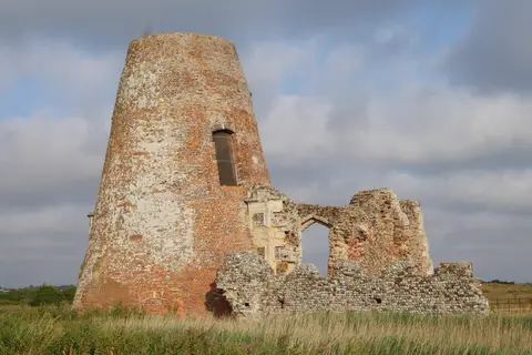
The Broads look every bit like a landscape nature made on its own, all reed-fringed water, grazing marsh and the odd windmill on the skyline. The broads themselves, the open stretches of water the area’s named for, were dug by hand. Medieval communities cut peat here for fuel over several centuries, working pits down into the ground, and when sea levels crept up and the workings flooded, nobody drained them back out. What looks like ancient, untouched wetland is really a set of flooded quarries that slowly turned wild after they filled.
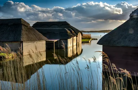
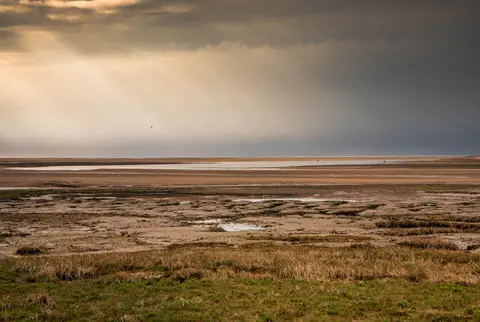
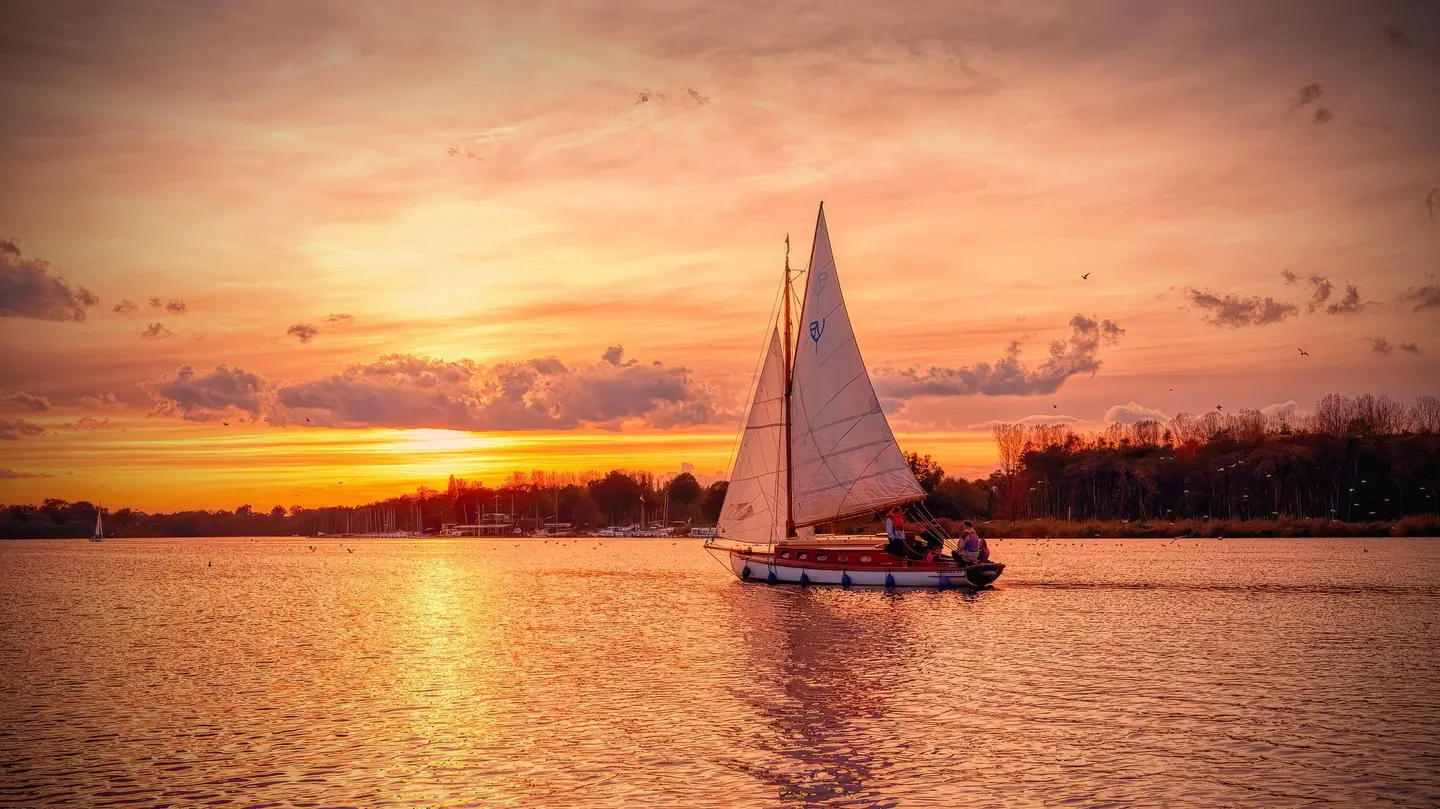
That accident now adds up to Britain’s largest protected wetland, 303 square kilometres of rivers, fens, reedbed and broad, most of it lying lower than the surrounding land and still nudged about by tides pushing in from the coast. It became a national park in all but name in 1989, and the best way to get a feel for it is by water: hiring a boat, following the riverbank paths, or cycling the flat lanes between villages.
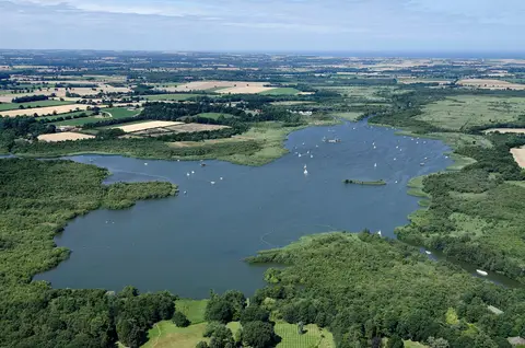
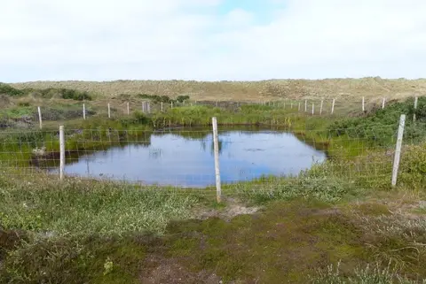
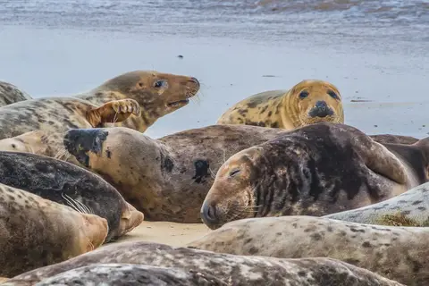
The wildlife makes the most of that mix of open water and marsh. Hickling Broad is the largest of the broads and a stronghold for marsh harriers and the boom of bitterns in the reeds, while How Hill is a rare bit of higher ground to look out over the whole scene. Further north, Horsey holds one of the best-known grey seal colonies in the country, hauling out and pupping on the beach each winter, and Winterton Dunes adds proper sand dune habitat to the mix along the coast.
The ground here is flat and low-lying, so paths can flood after heavy rain and river levels shift with the tide even a long way inland. It’s not hard going, just worth a glance at conditions before setting off, particularly if a boat’s involved.