The quiet southern Broads river, navigable from Geldeston down to Breydon Water and the sea at Great Yarmouth
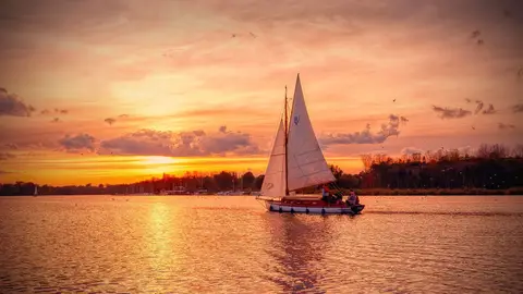
The Waveney is the river that marks much of the Suffolk–Norfolk border, running east to join the River Yare at Breydon Water, the tidal lagoon behind Great Yarmouth. It is one of the main rivers of the Broads, and the navigable section runs about 20 miles from Geldeston, the head of navigation, down past Beccles and on to the mouth. Below Geldeston it is managed by the Broads Authority and open to hire cruisers, day boats and canoes.
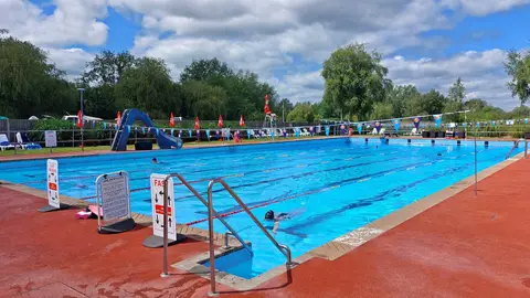
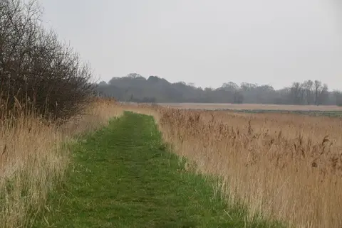
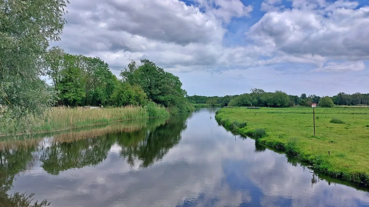
This is the quieter end of the Broads. There are no locks on the navigable river, and the water is slow and mostly rural — grazing marsh, reed and willow, with Beccles the main town on its banks and a scatter of staithes and moorings elsewhere. Above Geldeston the river narrows and motor traffic drops away entirely; the stretch up towards Bungay is a well-known canoeing water, shallow and gentle, with Bungay Castle standing over the town at the top of it.
The Waveney rises far to the west near Redgrave, where it shares a source with the Little Ouse flowing the other way. For the walker there is no single towpath, but riverside paths and the Angles Way follow much of the valley, and the river is easiest to reach at Beccles, Geldeston and near the Burgh Castle Roman fort above Breydon.
Wildlife is the draw as much as the boating: kingfishers, herons, marsh harriers over the reedbeds and the occasional otter. It is a good river for beginners on the water and for anyone wanting the Broads without the busiest of the traffic.