Angles Way
Ninety-three miles along the Norfolk–Suffolk border, up the Waveney and down the Little Ouse from Great Yarmouth to Thetford
Indicative — sampled from open terrain data along the simplified route.
The Angles Way runs 93 miles along the border of Norfolk and Suffolk, from Great Yarmouth on the coast to the town of Thetford inland. For most of its length it follows two rivers: first the Waveney, which it traces upstream from the estuary, then the Little Ouse, which carries it the rest of the way to Thetford. The two rivers rise within a few hundred yards of each other, in the fen at Redgrave and Lopham, so the walk crosses cleanly from one valley to the next.
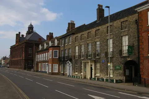
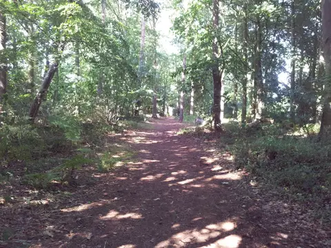
It begins beside Breydon Water, the wide tidal lake at the edge of the Broads, then heads up the broad, quiet Waveney valley through the old market towns of Beccles, Bungay, Harleston and Diss. At Knettishall Heath the scenery changes: the trail enters the Brecks, the dry, sandy heath-and-pine country of the Suffolk and Norfolk border, and follows the Little Ouse through it to finish at Thetford.
The walking is easy throughout — this is low, gentle country with few climbs — and the route is broken into eight stages of manageable length. It forms one leg of a longer circuit around Norfolk, linking at Great Yarmouth with the Weavers’ Way.
Both ends are on the railway, and Diss has a station on the main London to Norwich line partway along, so the route lends itself to being walked a stage at a time. The river valleys are the draw: reed bed, grazing marsh and water meadow along the Waveney, then the distinctive Breckland heaths at the end.