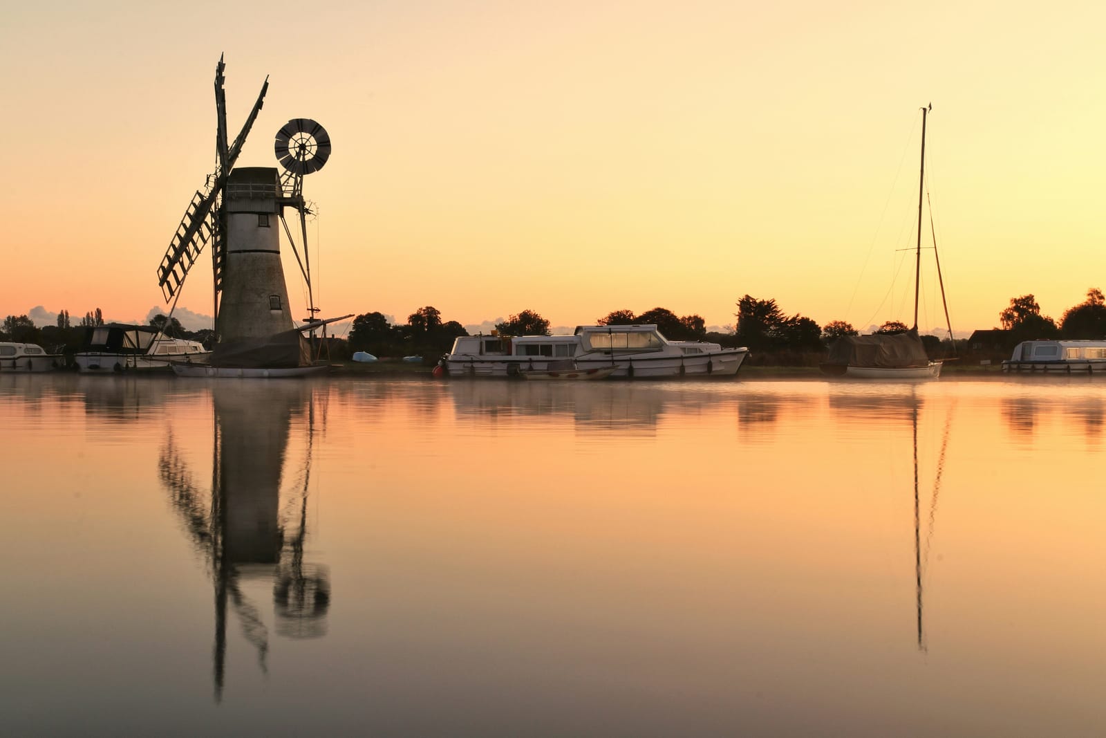
Photo Will Hulbert / Unsplash
Places to explore in NorfolkEngland · East of England
Low and open, Norfolk pushes out into the North Sea behind a coast of salt marsh, shingle and dune. The Norfolk Coast runs from the vast sands of Holkham Beach to the seal colonies and reedbeds around Blakeney. Inland, slow rivers wander through the Broads, a maze of shallow lakes dug for medieval peat and now Britain's largest protected wetland. The county grew rich on wool and farming, wealth that paid for Norwich Castle, a scatter of great halls across the country, and long before that the Neolithic flint mines at Grime's Graves.
The best of Norfolkworth the trip


Villages & towns in Norfolk 28
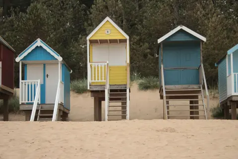
- Wells-next-the-Sea
- Hunstanton
- King's Lynn
- Blakeney
- Cley next the Sea
- Cromer
- Holt
- Horning
- Little Walsingham
- Ranworth
- Sheringham
- Burnham Market
- Castle Acre
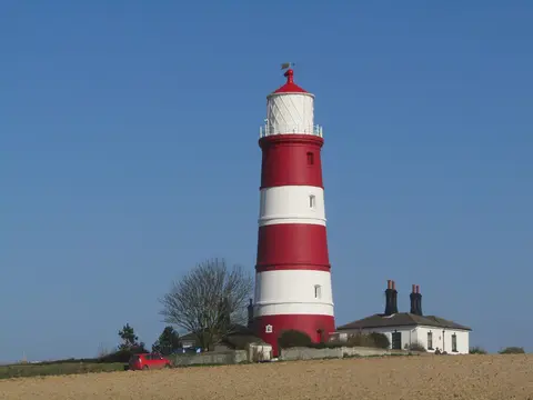
- Happisburgh
- Wymondham
Show all 28 villages and towns in Norfolk
Other sights in Norfolk 18
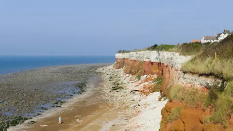
- Hunstanton Cliffs
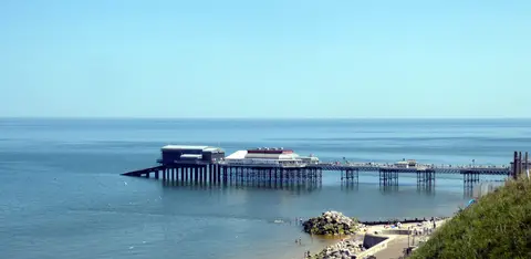
- Cromer Pier
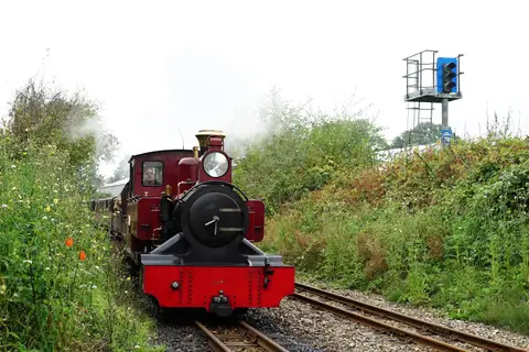
- Bure Valley Railway
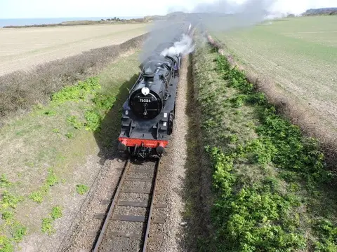
- North Norfolk Railway (Poppy Line)
- BeWILDerwood
- Beeston Bump
- Horsey Gap Seals
- Pensthorpe Natural Park
- Thetford Forest
- Wells & Walsingham Light Railway
- Blakeney Guildhall
- Binham Market Cross
- Thetford Warren Lodge
- Sauna Next The Sea
- Sea Sauna Sheringham
Show all 18 other sights in Norfolk
Houses & gardens in Norfolk 29
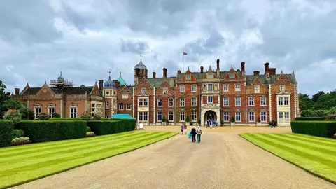
- Sandringham House1.9 km²
- Blickling Hall3.7 km²
- Holkham Hall12 km²
- Oxburgh Hall1.2 km²
- Felbrigg Hall4.1 km²
- Sheringham Park1.3 km²
- Houghton Hall7.3 km²
- Great Yarmouth Row Houses
- Raveningham Hall0.94 km²
- Fairhaven Woodland and Water Garden
- Stody Lodge Gardens
- The Plantation Garden
- Eaton Park0.23 km²
- Gunton Park4.2 km²
- The Rosary Cemetery0.05 km²
Show all 29 houses and gardens in Norfolk
- Wolterton Hall1.9 km²
- 4 South Quay, Great Yarmouth
- Bressingham Gardens
- East Ruston Old Vicarage
- Hoveton Hall Gardens
- Mannington Gardens
- Walsingham Abbey Gardens
- Heydon Hall1.8 km²
- Waterloo Park0.07 km²
- Honing Hall0.34 km²
- Intwood Hall0.29 km²
- Kimberley Hall3.5 km²
- Melton Constable Hall2.9 km²
- Voewood0.06 km²
Pubs & restaurants in Norfolk 18
- Morston Hall
- Sculthorpe Mill
- The Gin Trap Inn
- The Gunton Arms
- The Neptune
- Titchwell Manor Hotel
- White Horse
- The Wildebeest
- The Bedingfeld Arms
- The Brisley Bell
- The Dabbling Duck
- The Hoste Arms
- The Jolly Sailors
- The Nelson Head
- The Vernon Arms
Show all 18 pubs and restaurants in Norfolk
Nature reserves in Norfolk 168
- Blakeney10 km²
- Holkham35 km²
- Winterton Dunes0.84 km²
- Welney Wetland Centre
- Fritton Lake Country Park1.8 km²
- Holt Country Park0.4 km²
- Ouse Washes25 km²
- Sandringham Country Park2 km²
- Whitlingham Country Park0.94 km²
- Bale Oaks and Bullfer Grove
- Darrow Wood, Denton
- Catton Park0.28 km²
- Breckland Farmland134 km²
- Breckland Forest181 km²
- North Norfolk Coast79 km²
Show all 168 nature reserves in Norfolk
- Stanford Training Area47 km²
- The Wash88 km²
- Barnhamcross Common0.69 km²
- Buxton Heath0.67 km²
- Cantley Marshes2.7 km²
- Cawston and Marsham Heaths1.2 km²
- Cranberry Rough Hockham0.81 km²
- East Walton and Adcock's Common0.62 km²
- East Wretham Heath1.4 km²
- Foulden Common1.4 km²
- Kelling Heath0.89 km²
- Leziate, Sugar and Derby Fens0.88 km²
- Thetford Golf Course & Marsh1.2 km²
- Trinity Broads3.2 km²
- Upton Broad & Marshes2 km²
- Winterton - Horsey Dunes4.3 km²
- Ant Broads and Marshes1.8 km²
- Brettenham Heath2.3 km²
- Bure Marshes4.5 km²
- Dersingham Bog1.5 km²
- Foxley Wood1.2 km²
- Holme Dunes1.9 km²
- How Hill1.3 km²
- Ludham & Potter Heigham Marshes0.84 km²
- Martham Broad0.62 km²
- Mid-Yare7.8 km²
- Redgrave & Lopham Fen1.3 km²
- Roydon Common1.8 km²
- Swanton Novers0.83 km²
- Weeting Heath1.4 km²
- Alderford Common0.17 km²
- Badley Moor0.18 km²
- Beetley & Hoe Meadows0.11 km²
- Blo' Norton and Thelnetham Fens0.21 km²
- Boughton Fen0.16 km²
- Breydon Water5.1 km²
- Broome Heath Pit0.01 km²
- Bryant's Heath, Felmingham0.18 km²
- Burgh Common and Muckfleet Marshes1.2 km²
- Castle Acre Common0.18 km²
- Cockthorpe Common, Stiffkey0.07 km²
- Damgate Marshes, Acle0.65 km²
- East Ruston Common0.39 km²
- East Winch Common0.26 km²
- Flordon Common0.1 km²
- Fritton Common0.2 km²
- Halvergate Marshes14 km²
- Hockering Wood0.9 km²
- Holt Lowes0.5 km²
- Morston Cliff0.01 km²
- New Buckenham Common0.21 km²
- Overstrand Cliffs0.58 km²
- Potter & Scarning Fens, East Dereham0.06 km²
- Pulham Market Big Wood0.05 km²
- Ringstead Downs0.07 km²
- Shallam Dyke Marshes, Thurne0.7 km²
- Sheringham and Beeston Regis Commons0.25 km²
- Shotesham Common0.22 km²
- Sidestrand and Trimingham Cliffs1.3 km²
- Southrepps Common0.06 km²
- Stiffkey Valley0.44 km²
- Swannington Upgate Common0.2 km²
- Syderstone Common0.44 km²
- The Brinks, Northwold0.16 km²
- Thompson Water, Carr and Common1.6 km²
- Whitwell Common0.19 km²
- Wiveton Downs0.29 km²
- Calthorpe Broad0.44 km²
- Paston Great Barn0.01 km²
- Alderfen Broad0.21 km²
- Aslacton Parish Land0.04 km²
- Bawsey0.03 km²
- Beeston Cliffs0.1 km²
- Bilsey Hill0.03 km²
- Blackborough End Pit0.13 km²
- Booton Common0.08 km²
- Bramerton Pits0.01 km²
- Briton's Lane Gravel Pit0.21 km²
- Broad Fen, Dilham0.38 km²
- Caistor St. Edmund Chalk Pit0.24 km²
- Catton Grove Chalk Pit0 km²
- Coston Fen, Runhall0.07 km²
- Cranwich Camp0.13 km²
- Crostwick Marsh0.12 km²
- Decoy Carr, Acle0.56 km²
- Dereham Rush Meadow0.22 km²
- Didlington Park Lakes0.26 km²
- Dillington Carr, Gressenhall0.5 km²
- Ducan's Marsh, Claxton0.04 km²
- East Harling Common0.15 km²
- Eaton Chalk Pit0 km²
- Edgefield Little Wood0.05 km²
- Elm Road Field, Thetford0.05 km²
- Field Barn Heaths, Hilborough0.18 km²
- Forncett Meadows0.05 km²
- Gawdyhall Big Wood, Harleston0.3 km²
- Geldeston Meadows0.14 km²
- Glandford (Hurdle Lane)0.09 km²
- Glandford (Letheringsett Road)0.01 km²
- Gooderstone Warren0.22 km²
- Great Cressingham Fen0.14 km²
- Grimston Warren Pit0.07 km²
- Gunton Park Lake0.18 km²
- Hall Farm Fen, Hemsby0.09 km²
- Happisburgh Cliffs0.06 km²
- Hardley Flood0.5 km²
- Heacham Brick Pit0.01 km²
- Hedenham Wood0.23 km²
- Hilgay Heronry0.02 km²
- Holkham Brick Pit0.01 km²
- Holly Farm Meadow, Wendling0.03 km²
- Honeypot Wood, Wendling0.1 km²
- Hooks Well Meadows, Great Cressingham0.16 km²
- Horningtoft Wood0.08 km²
- Horse Wood, Mileham0.07 km²
- Hunstanton Park Esker0.17 km²
- Islington Heronry0.01 km²
- Kenninghall and Banham Fens0.48 km²
- Leet Hill, Kirby Cane0.07 km²
- Limpenhoe Meadows0.12 km²
- Lower Wood, Ashwellthorpe0.38 km²
- Mattishall Moor0.06 km²
- Middle Harling Fen0.12 km²
- Mundesley Cliffs0.29 km²
- Narborough Railway Embankment0.08 km²
- Old Bodney Camp0.33 km²
- Old Buckenham Fen0.35 km²
- Poplar Farm Meadows, Langley0.08 km²
- Potter's Carr, Cranworth0.06 km²
- Priory Meadows, Hickling0.24 km²
- Rosie Curston's Meadow, Mattishall0.02 km²
- Scoulton Mere0.34 km²
- Sea Mere, Hingham0.36 km²
- Setchey0.33 km²
- Sexton Wood0.39 km²
- Shelfanger Meadows0.1 km²
- Shotesham-Woodton Hornbeam Woods0.4 km²
- Smallburgh Fen0.08 km²
- Snettisham Carstone Quarry0.11 km²
- St James' Pit0.03 km²
- Stanley and Alder Carrs, Aldeby0.43 km²
- Swangey Fen, Attleborough0.48 km²
- Sweetbriar Road Meadows, Norwich0.1 km²
- Tindall Wood, Ditchingham0.42 km²
- Warham Camp0.05 km²
- Wayland Wood, Watton0.32 km²
- Wells Chalk Pit0.04 km²
- Westwick Lakes0.1 km²
- Weybourne Cliffs0.41 km²
- Weybourne Town Pit0.01 km²
- Wiggenhall St. Germans0.05 km²
- Wretham Park Meres0.3 km²
- Wretton0.21 km²
Castles & strongholds in Norfolk 18
- Castle Acre Prioryruin
- Castle Rising Castleruin
- Norwich Castleruin
- The Cow Towerruin
- Burgh Castleruin
- Castle Acre Castleruin
- Claxton Castleruin
- Baconsthorpe Castleruin
- Weeting Castleruin
- Buckenham Castleruin
- Caister Castleruin
- Gresham Castleruin
- Horsford Castleruin
- Mileham Castleruin
- Crabb's Castleearthworks
Show all 18 castles in Norfolk
- Middleton Mount motteearthworks
- Red Castle (Norfolk)earthworks
- Wormegay Castleearthworks
Churches in Norfolk 16
- Norwich Cathedral
- Binham Priory
- St Agnes, Cawston
- St Andrew, East Lexham
- St Mary the Virgin, Worstead
- St Mary, Burnham Deepdale
- St Mary, Happisburgh
- Wymondham Abbey
- St Clement, Terrington St Clement
- St Helen, Ranworth
- St Margaret, Hales
- St Mary, Beachamwell
- St Mary, Gissing
- St Nicholas, Blakeney
- St Peter and St Paul, Salle
Show all 16 churches in Norfolk
Lakes & lochs in Norfolk 3
Protected landscapes in Norfolk 2
- The Broads302 km²
- Norfolk Coast446 km²
Abbeys & priories in Norfolk 31
- St Benet's Abbeyruin
- North Elmham Chapelruin
- Creake Abbeyruin
- Priory of the Holy Sepulchre, Thetfordruin
- St Olave's Prioryruin
- Thetford Cluniac prioryruin
- Beeston Regis Prioryruin
- Blackborough Prioryruin
- Bromholm Prioryruin
- Buckenham Prioryruin
- Carrow Prioryruin
- Coxford Prioryruin
- Dominican Friary (Norfolk)ruin
- Flitcham Prioryruin
- Greyfriars Franciscan friaryruin
Show all 31 abbeys and priories in Norfolk
- Hickling Prioryruin
- Langley Abbeyruin
- Marham Abbeyruin
- Pentney Prioryruin
- Shouldham Prioryruin
- St Faith Prioryruin
- St Leonard's Priory (Norfolk)ruin
- St Mary's Carmelite Friaryruin
- St Stephen's Prioryruin
- Wendling Abbeyruin
- West Acre Prioryruin
- Weybourne prioryruin
- Ruins and site of Walsingham Priorybelow ground
- St Helen's Churchbelow ground
- St Mary's Abbey (Norfolk)below ground
- St Mary's Priory (Norfolk)below ground
Beaches & swimming in Norfolk 18
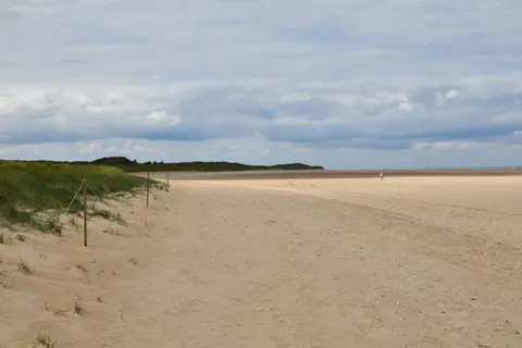
- Holkham Beach
- Caister Point
- Cromer
- Falcon Meadow, River Waveney
- Gorleston Beach
- Great Yarmouth North
- Great Yarmouth Pier
- Great Yarmouth South
- Heacham
- Hemsby
- Hunstanton (Old Hunstanton)
- Hunstanton Main Beach
- Mundesley
- Sea Palling
- Sheringham
Show all 18 beaches and swimming spots in Norfolk
Windmills in Norfolk 10
Trails in Norfolk 7
- Peddars Way and Norfolk Coast Path254 km
- King Charles III England Coast Path4345 km
- Icknield Way Path177 km
- Ouse Valley Way241 km
- Angles Way150 km
- Fen Rivers Way80 km
- Weavers' Way98 km
Ancient stones in Norfolk 5
- Grime's Gravesearthworks
- Branodunum Roman Fort
- St George's Guildhall
- Costessey Hengeearthworks
- Woodhenge, Arminghallearthworks
Coastline in Norfolk 5
Lighthouses in Norfolk 2
Islands in Norfolk 1
- Scolt Head Island2.8 km²
Waterways in Norfolk 10
Farms, vineyards & producers in Norfolk 6
Roman sites in Norfolk 4
- Caister-on-Sea Roman fortearthworks
- Castrum Branodunumearthworks
- Roman villa at Gayton Thorpeearthworks
- Venta Icenorumearthworks