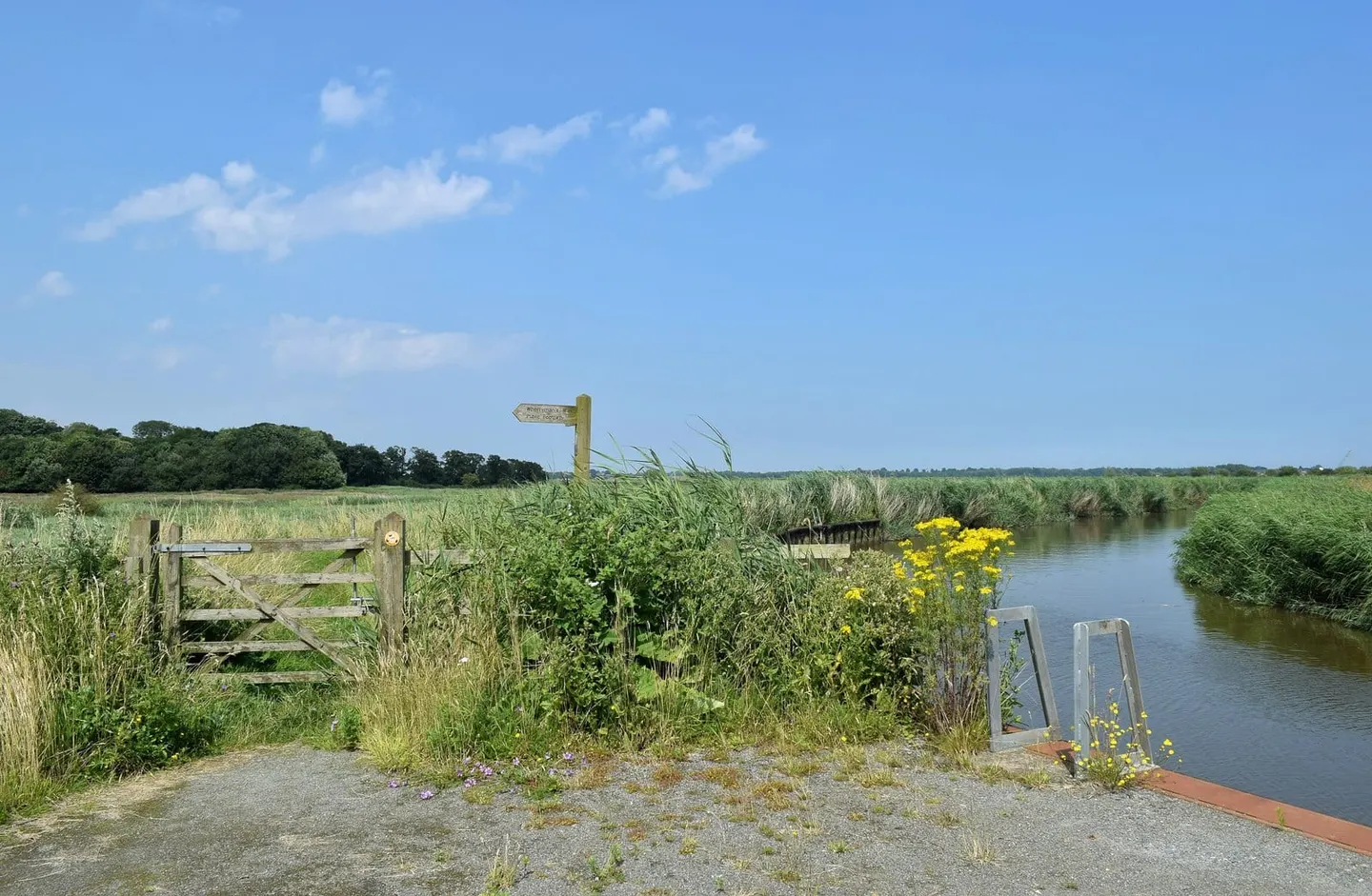
A short, narrow tributary of the Yare, navigable for three and a half miles from Loddon to Hardley Cross
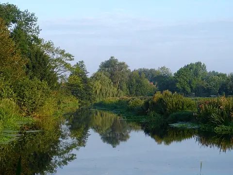
The Chet is one of the smallest navigable waterways of the Broads, a tributary of the River Yare in south Norfolk. It rises near Poringland and flows east to the twin villages of Loddon and Chedgrave, which face each other across it; from Loddon it is navigable for about three and a half miles down to Hardley Cross, where it joins the Yare a mile west of Reedham.
The navigable river is tidal, narrow and full of tight bends, with a 4mph limit and a width restriction that keeps the larger cruisers out, so it suits smaller boats and canoes. Loddon, with its staithe and boatyards, is the natural base and the head of navigation. Below the village the Chet runs between reed and grazing marsh, quiet and little built-up, out to its mouth on the Yare.
Hardley Cross, a stone monument set up in 1676 where the Chet meets the Yare, marked the old limit between the jurisdictions of the city of Norwich and the borough of Great Yarmouth over these rivers. The Chet was once a working route carrying trade up to Loddon; today it carries holiday and pleasure craft, and its quiet makes it a good escape from the busier water of the main rivers.