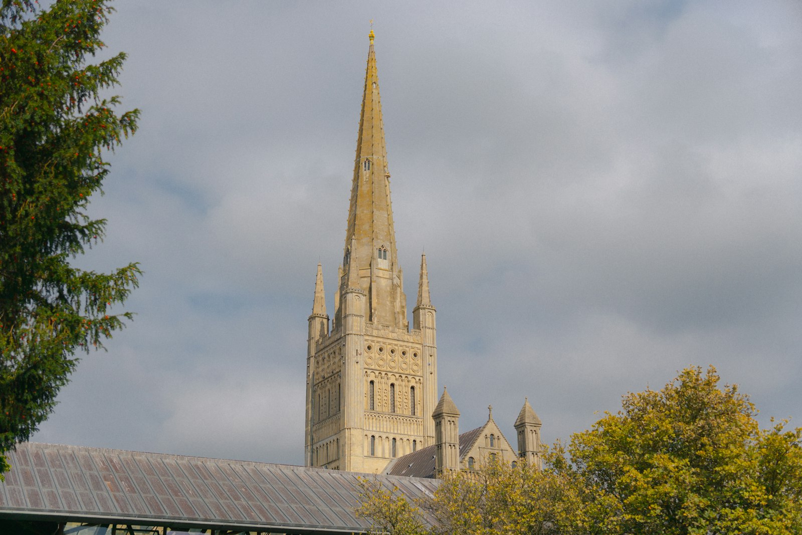
Photo Jack Coble / Unsplash
Places to explore near Norwich
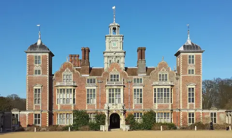
For centuries England's second city, Norwich grew fat on wool and weaving, and still keeps its Norman cathedral, castle keep and a tangle of medieval lanes. The River Wensum loops through the middle. East lie the Broads, the country's largest protected wetland, a maze of shallow lakes and slow rivers left by medieval peat digging. North, the Norfolk Coast runs from saltmarsh to shingle past the seals at Horsey, and the Jacobean Blickling Hall sits in its lakeside park inland.
83 places within 25 km — the standouts first, nearest first within each group. 1 is a national icon.
Worth the tripnational icons and local highlights within reach
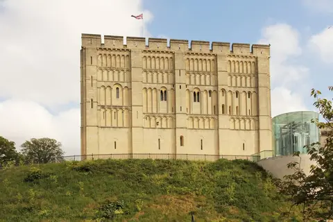

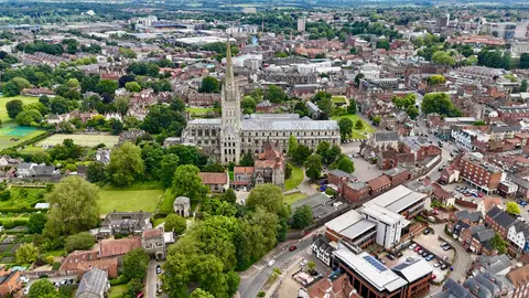
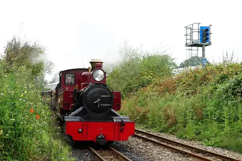
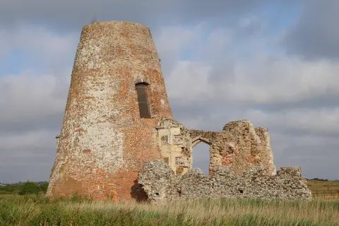
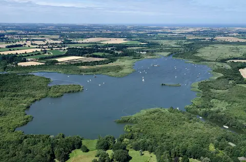
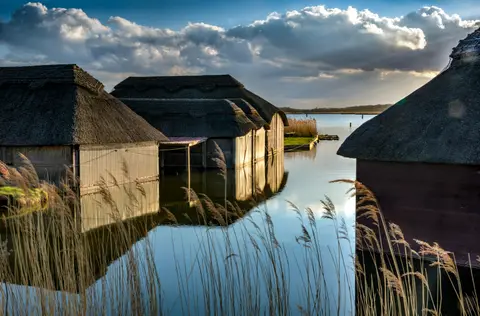
Also nearbygood places nearby, nearest first
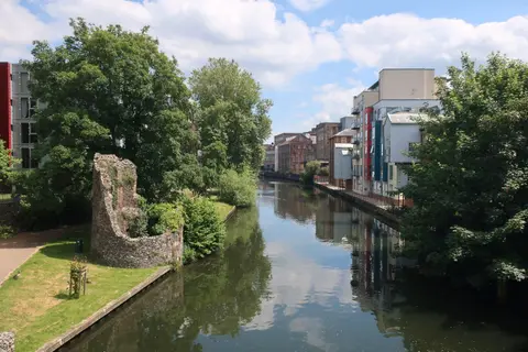
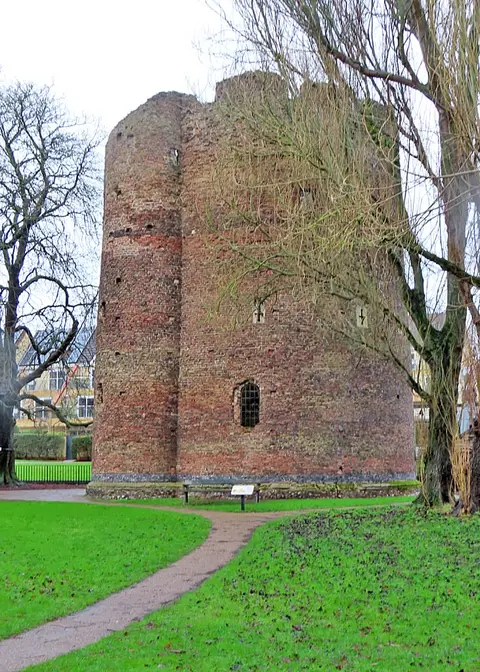
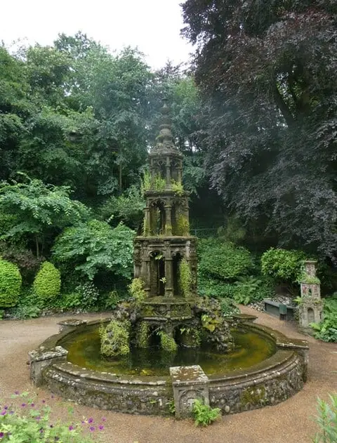
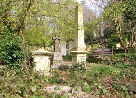
Everything else within 25 km (62) — reserves, earthworks & places to check before travelling
- The WildebeestGastropub4.5 km S
- Winbirri VineyardsVineyard7.5 km E
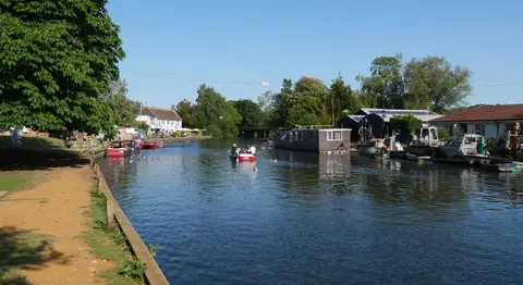
- River BureRiver navigation10.1 km NE
- Woodforde's BreweryBrewery11.5 km NE
- WroxhamVillage11.6 km NE
- Hoveton Hall GardensGarden12.7 km NE
- River ChetRiver navigation13.9 km SE
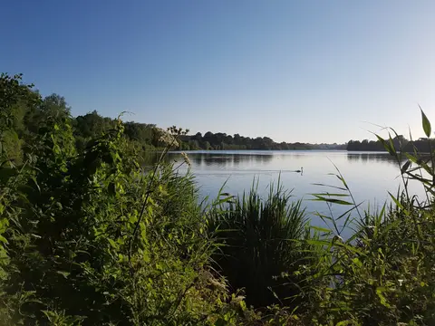
- Ranworth BroadLake14 km NE
- The Goat ShedFarm & farm shop14.1 km W
- Wymondham AbbeyAbbey14.3 km SW
- Fairhaven Woodland and Water GardenGarden14.3 km E
- River AntRiver navigation15.9 km NE
- LoddonVillage16.4 km SE
- Hardley WindmillWindmill17.1 km SE
- CawstonCountry estate17.4 km NW
- St Peter Mancroft, NorwichChurch0.3 km W
- Dominican Friary (Norfolk)Friaryaccess unclear0.4 km N
- St Leonard's Priory (Norfolk)Prioryaccess unclear1 km E
- St James' PitSSSIaccess unclear1.2 km NE
- Carrow PrioryPrioryaccess unclear1.5 km SE
- Catton Grove Chalk PitSSSIaccess unclear2.4 km N
- Sweetbriar Road Meadows, NorwichSSSIaccess unclear2.5 km NW
- Woodhenge, ArminghallHengeaccess unclear2.6 km S
- Eaton Chalk PitSSSIaccess unclear3 km SW
- Caistor St. Edmund Chalk PitSSSIaccess unclear3.5 km S
- Costessey HengeHengeaccess unclear4.2 km NW
- Venta IcenorumRoman archaeological siteaccess unclear5.3 km S
- Intwood HallHouse & gardenaccess unclear5.8 km SW
- Bramerton PitsSSSIaccess unclear6.7 km SE
- St Faith PrioryPrioryaccess unclear6.9 km N
- Mid-YareNational Nature Reserve7.2 km E
- Horsford CastleCastleaccess unclear7.7 km N
- Shotesham CommonSSSI8.1 km S
- Crostwick MarshSSSIaccess unclear8.4 km N
- Bure MarshesNational Nature Reserve10.9 km NE
- Shotesham-Woodton Hornbeam WoodsSSSIaccess unclear10.9 km S
- Claxton CastleCastleaccess unclear11.3 km SE
- Ducan's Marsh, ClaxtonSSSIaccess unclear12 km SE
- Flordon CommonSSSI12.1 km SW
- Cantley MarshesSSSI12.4 km E
- Swannington Upgate CommonSSSI12.4 km NW
- Lower Wood, AshwellthorpeSSSIaccess unclear13.5 km SW
- Alderford CommonSSSI13.9 km NW
- St Helen, RanworthChurch14 km NE
- Langley AbbeyAbbeyaccess unclear14.1 km SE
- Buxton HeathSSSI14.1 km N
- Poplar Farm Meadows, LangleySSSIaccess unclear15 km SE
- Kimberley HallHouse & gardenaccess unclear15.3 km W
- Hedenham WoodSSSIaccess unclear15.7 km SE
- Fritton CommonSSSI15.8 km S
- Upton Broad & MarshesSSSI15.8 km E
- Cawston and Marsham HeathsSSSI15.9 km N
- Alderfen BroadSSSIaccess unclear16.2 km NE
- How HillNational Nature Reserve16.5 km NE
- Hockering WoodSSSIaccess unclear16.5 km NW
- Hardley FloodSSSIaccess unclear16.7 km SE
- Decoy Carr, AcleSSSIaccess unclear16.8 km E
- Coston Fen, RunhallSSSIaccess unclear16.9 km W
- Forncett MeadowsSSSIaccess unclear16.9 km SW
- Ant Broads and MarshesNational Nature Reserve17.1 km NE
- Limpenhoe MeadowsSSSIaccess unclear17.2 km E
- Tindall Wood, DitchinghamSSSIaccess unclear17.3 km SE
Ordered by how far each place is worth travelling for, then by distance. Distances are straight-line to the nearest edge of each place — paths wind, of course.