The longest of the Broads rivers, running fifty miles from the Aylsham country down through Wroxham to Great Yarmouth
The Bure is the principal river of the northern Broads, about 50 miles long, rising near Melton Constable and flowing south-east across Norfolk to reach the sea at Great Yarmouth, where it meets the River Yare at Breydon Water. The head of navigation is now Coltishall; above there the old navigation once reached Aylsham, until floods wrecked its locks in 1912 and the upper river was abandoned to boats.
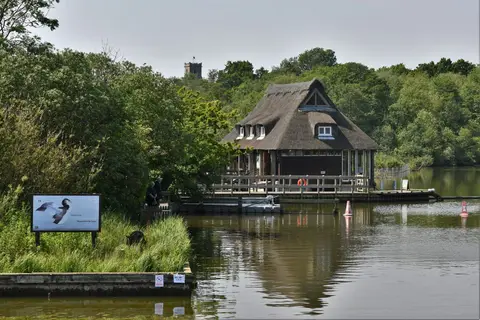
From Horstead Mill at Coltishall the river runs down through Wroxham — often called the capital of the Broads — then past Horning, St Benet’s Abbey and the mouths of its two tributaries, the Ant and the Thurne, on through Acle and the wide Halvergate Marshes to Yarmouth. Most of the northern broads open off it, among them the water at Wroxham and Ranworth.
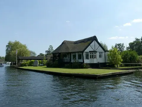
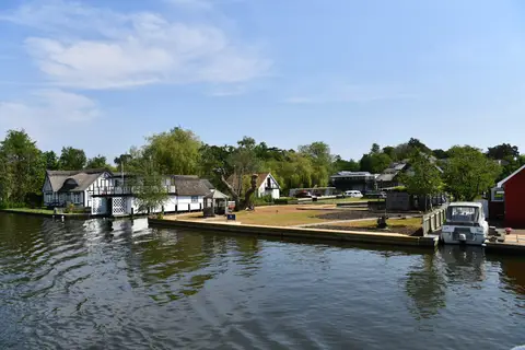
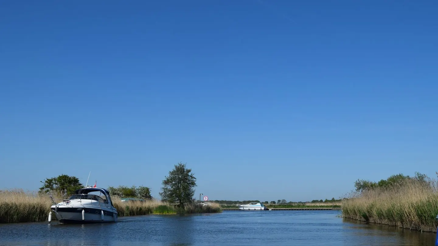
It is the busiest cruising river of the Broads, wide and steady, tidal below Coltishall and easy going for the hire boats based at Wroxham and Horning. The lower river is bird country — the Halvergate grazing marshes and the drainage windmills along the banks are among the classic Broadland sights. Aylsham, Wroxham and Ranworth all make good places to reach or leave the water.