A hundred and fifty miles down the Great Ouse, from its Northamptonshire source to the Wash at King's Lynn
Indicative — sampled from open terrain data along the simplified route.
The Ouse Valley Way follows the River Great Ouse for some 150 miles, from its source near Syresham in Northamptonshire to the river’s mouth on The Wash at King’s Lynn. This is the Great Ouse of the east Midlands and the Fens, not the Yorkshire Ouse that runs through York, nor the separate Sussex Ouse Valley Way in the south.
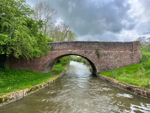
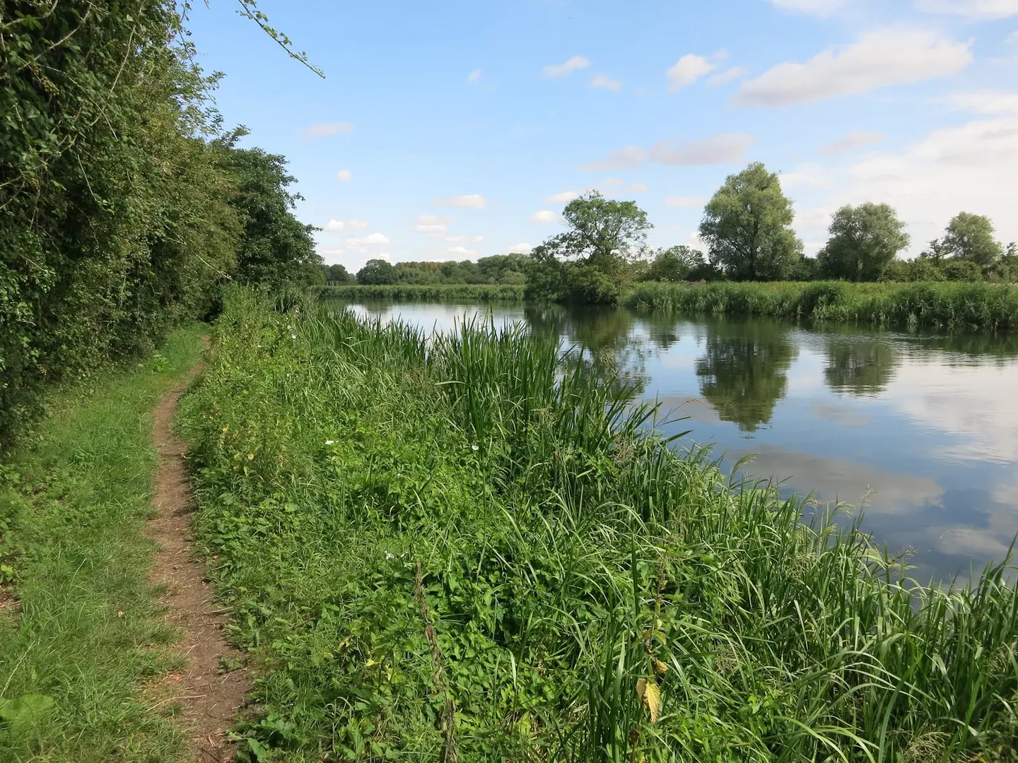
It is a long walk but an undemanding one, keeping to the valley floor throughout. From a modest headwater stream in the clay country it grows into a broad, slow, meandering river, and the path stays close beside it — across water meadow, along flood bank and towpath, through a string of riverside towns. There is little climbing, and the character shifts steadily from rolling farmland at the start to the flat, drained Fens at the end.
Along the way it passes Buckingham, the edge of Milton Keynes, Bedford, the old bridge towns of Huntingdon and Godmanchester, and Ely with its cathedral, before reaching King’s Lynn and the tide. On its final stretch down the Fens it runs with the Fen Rivers Way, which shares the lower Ouse.
The route was devised to follow one river from source to sea, linked from existing rights of way, and in a few places the path and the river part company where no continuous bank exists. Many of the towns it threads have stations, so it lends itself to being walked a stretch at a time by train.