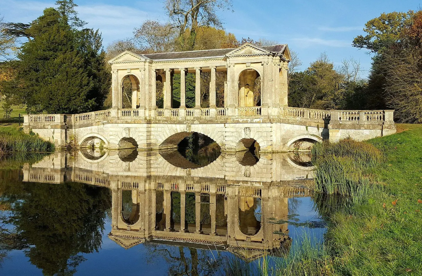
Places to explore near Milton Keynes
A planned city laid out in the 1960s on a grid of tree-lined boulevards and green corridors, Milton Keynes threads parkland and lakes through its heart, with the Grand Union Canal running the length of the town. Willen Lake and the linear parks give miles of level walking and riding. Codebreaking history sits close by at Bletchley Park, and to the south the Chilterns rise to Ivinghoe Beacon and the woods of the Ashridge Estate.
89 places within 25 km — the standouts first, nearest first within each group. 2 are national icons.
Worth the tripnational icons and local highlights within reach
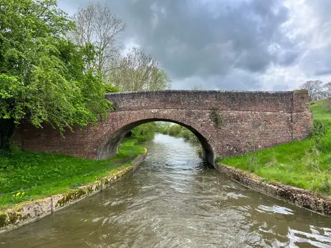
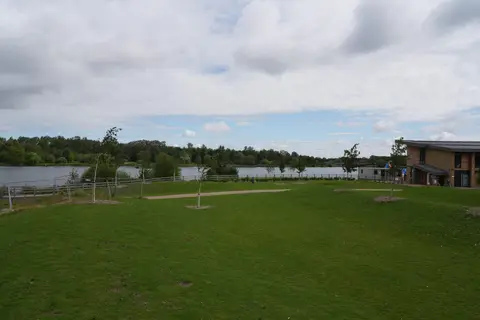
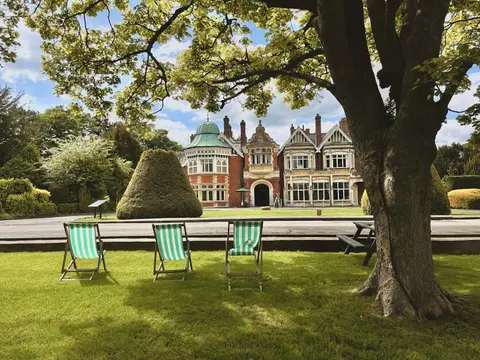
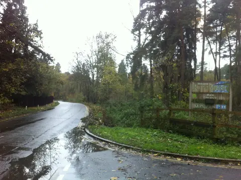
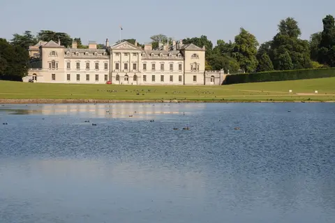
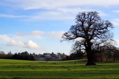
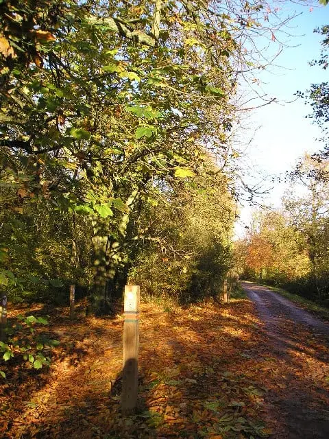
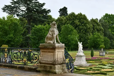
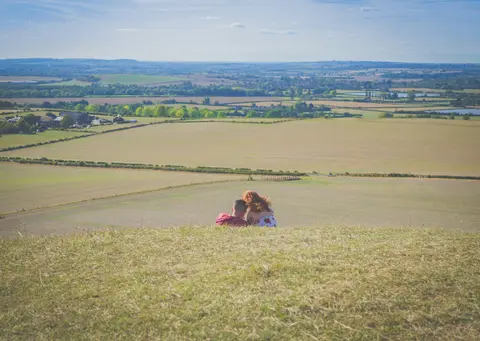
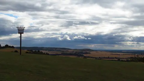
Also nearbygood places nearby, nearest first
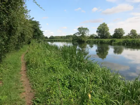

Everything else within 25 km (58) — reserves, earthworks & places to check before travelling
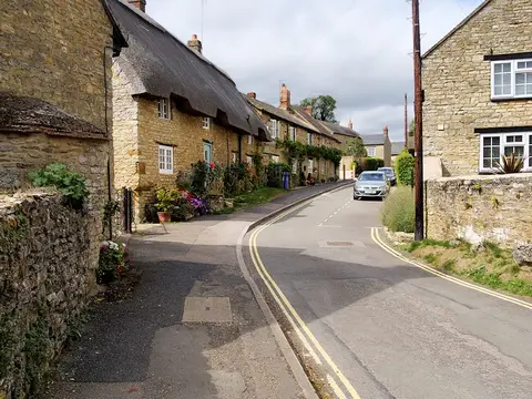
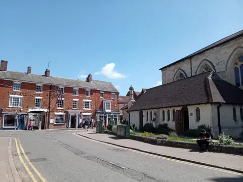
- WinslowVillage14.2 km SW
- Marston Vale Millennium Country ParkCountry park14.8 km E
- The Navigation Inn (Stoke Bruerne)Pub15.6 km NW
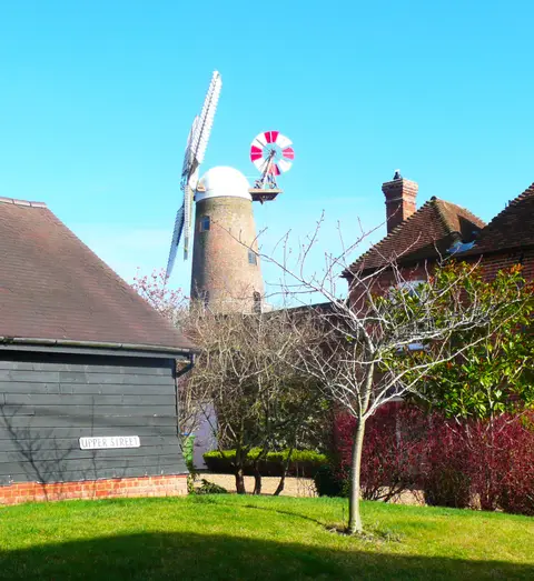
- Bradwell WindmillWindmill16.2 km S
- Buckingham Chantry ChapelAncient site16.3 km W
- BuckinghamVillage16.3 km W
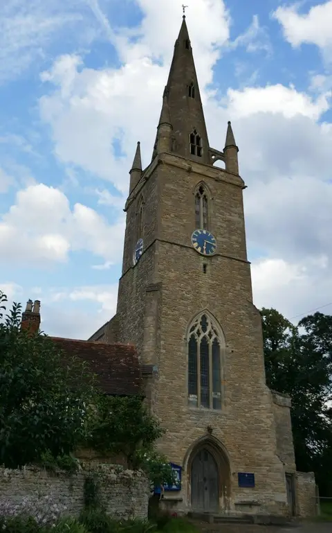
- All Saints' Church, WingChurch16.3 km S
- TurveyVillage16.4 km NE
- St George's Church, ToddingtonChurch18.3 km SE
- Icknield Way PathLong-distance path18.6 km SE
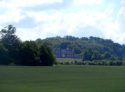
- Claydon HouseHouse & garden18.6 km SW
- Bradwell castle moundEarthworks of a former castleaccess unclear2.2 km NW
- Bradwell AbbeyPrioryaccess unclear2.6 km W
- TootEarthworks of a former castleaccess unclear3.2 km SW
- Howe Park WoodSSSIaccess unclear4.5 km SW
- Oxley MeadSSSIaccess unclear4.9 km SW
- Snelshall Benedictine PrioryPrioryaccess unclear5.5 km SW
- Wavendon Manor motteEarthworks of a former castleaccess unclear6.9 km E
- Bow BrickhillCounty topaccess unclear7.6 km SE
- Danesborough CampHillfortaccess unclear7.9 km SE
- Castlethorpe CastleEarthworks of a former castleaccess unclear7.9 km NW
- TyringhamHouse & gardenaccess unclear8.2 km N
- Chicheley HallHouse & gardenaccess unclear9 km NE
- Wavendon Heath PondsSSSIaccess unclear9.1 km SE
- The BirchPub10.4 km SE
- King's Wood and RushmereNational Nature Reserve10.7 km SE
- Mill CrookSSSIaccess unclear10.8 km NW
- Poker's Pond MeadowSSSIaccess unclear10.9 km S
- Moor End CastleCastleaccess unclear11.4 km NW
- Ringwork and bailey castle, BrogboroughEarthworks of a former castleaccess unclear11.8 km E
- Marston ThriftSSSIaccess unclear12 km E
- Nares Gladley MarshSSSIaccess unclear12 km SE
- Pilch FieldsSSSIaccess unclear12.2 km SW
- Ravenstone PrioryPrioryaccess unclear12.3 km N
- Double Arches PitSSSIaccess unclear12.6 km SE
- Nine Acres PitSSSIaccess unclear13.7 km SE
- Yardley ChaseSSSI13.7 km N
- Foxcote Reservoir and WoodSSSIaccess unclear13.8 km W
- Mount ringwork at AldertonEarthworks of a former castleaccess unclear13.9 km NW
- Motte NW of the parish churchEarthworks of a former castleaccess unclear14 km NW
- Warren Farm, StewkleySSSIaccess unclear14.4 km S
- Buckingham Thick CopseNational Nature Reserve14.6 km W
- St Mary the Virgin, HillesdenChurch15.2 km SW
- The Boat Inn (Stoke Bruerne)Pub15.6 km NW
- Lavendon AbbeyAbbeyaccess unclear15.7 km N
- Tebworth MarshSSSIaccess unclear16 km SE
- Castle Hill, a motte and bailey castleCastleaccess unclear16.1 km S
- Roade CuttingSSSIaccess unclear16.3 km NW
- BuryEarthworks of a former castleaccess unclear16.4 km NE
- All Saints Church, TurveyChurch16.4 km NE
- Lavendon CastleEarthworks of a former castleaccess unclear17 km NE
- Ampthill CastleCastleaccess unclear17.2 km E
- Cooper's HillSSSI17.3 km E
- Hanger WoodSSSIaccess unclear17.6 km NE
- Easton NestonHouse & gardenaccess unclear17.8 km NW
- Mount (Bedfordshire)Earthworks of a former castleaccess unclear18 km E
- Dropshort MarshSSSIaccess unclear18.5 km SE
- Bolebec CastleCastleaccess unclear18.6 km S
Ordered by how far each place is worth travelling for, then by distance. Distances are straight-line to the nearest edge of each place — paths wind, of course.