Forty miles along Bedfordshire's band of sandy upland, from Leighton Buzzard north-east to Gamlingay
Indicative — sampled from open terrain data along the simplified route.
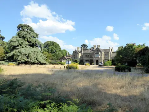
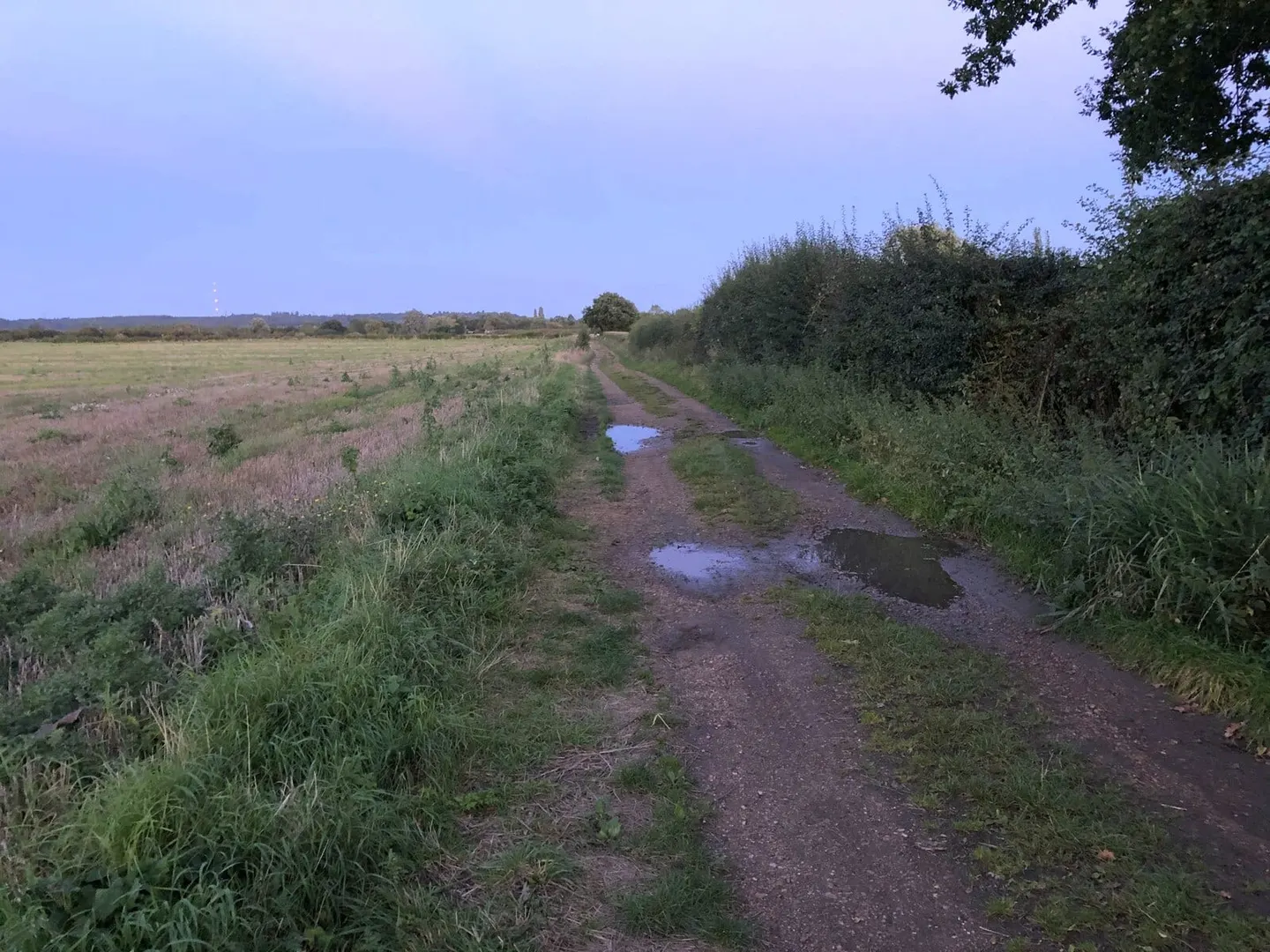
The Greensand Ridge Walk runs 40 miles across Bedfordshire, from Leighton Buzzard in the south-west to Gamlingay, just over the Cambridgeshire line, with a short opening stretch through Buckinghamshire. It keeps to the greensand ridge itself, a band of higher, sandy ground that lifts out of the surrounding clay vales and carries much of the county’s woodland and heath. That geology sets the tone of the walk: gently rolling, well drained, wooded for long stretches, and never steep enough to be hard going.
It is an easy route, usually done in three or four days over field paths, forest track and quiet lane. It is well waymarked, with a muntjac deer as its symbol, and rarely far from a village, which makes it simple to plan and to break into day sections.
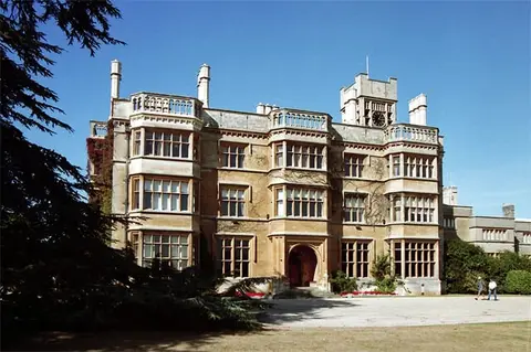
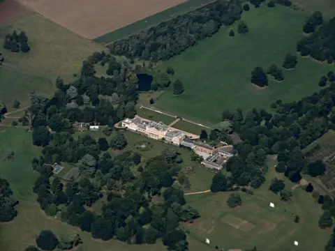
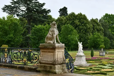
The middle of the walk takes in the grander parts of the county. It skirts Woburn and the deer park at Woburn Abbey, climbs through Ampthill Park, and passes Old Warden, where the Shuttleworth estate keeps its collection of historic aircraft and the Swiss Garden. Sandy, home to the RSPB’s headquarters at The Lodge, lies near the eastern end.
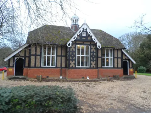
The ridge the walk is named for is a geological one, a line of Lower Greensand sandstone that also gave the local villages their warm building stone. The route was linked together from existing rights of way along its length. Each section starts and finishes near the Bedford–Bletchley railway line and is well served by buses, so a car is not needed to walk it in stages.