An 81-mile circuit of Bedfordshire linking the places tied to John Bunyan and The Pilgrim's Progress
Indicative — sampled from open terrain data along the simplified route.
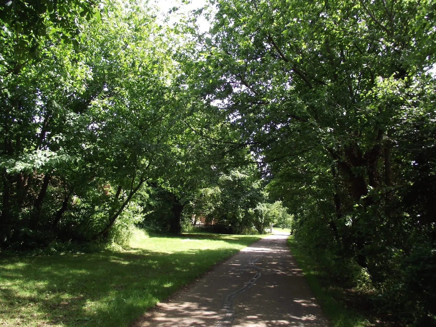
The John Bunyan Trail is a circular walk of about 81 miles through Bedfordshire, dipping briefly into Hertfordshire in the south. Being a loop, it has no fixed start, though Bedford makes the natural hub, and it is normally split into ten shorter sections of five to ten miles rather than walked in one push. The going is easy to moderate, over field paths, green lanes and short stretches of road, across the gently rolling farmland and low chalk of central Bedfordshire.
The trail is built around John Bunyan, the tinker and preacher who wrote The Pilgrim’s Progress while imprisoned in Bedford in the 1670s. It ties together the places bound up with his life and his book: his birthplace at Elstow, the ruined Houghton House near Ampthill, often taken to be the “House Beautiful”, and the higher ground of the Chilterns to the south, thought to lie behind the “Delectable Mountains”. Bedford itself, where he was jailed and where he preached, sits at the centre of it all.
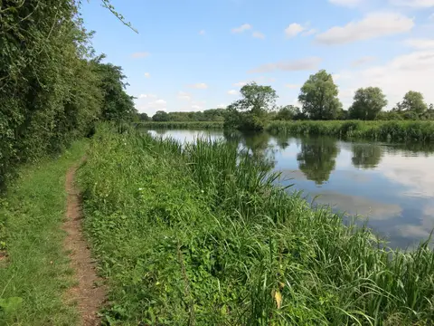
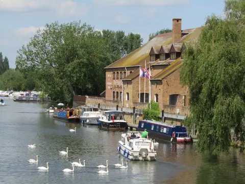
Because it is a circuit, it passes through varied country: the wooded Greensand Ridge, the chalk of the Sundon and Barton hills, and the meadows of the Great Ouse. The two halves can be walked as separate loops, north and south of Bedford, which suits a series of day outings.
The route was devised and is waymarked by the Bedfordshire group of the Ramblers, linked from existing rights of way. Bedford is on the main line from London, and buses reach most of the villages along the way, so individual sections are easy to reach without a car.