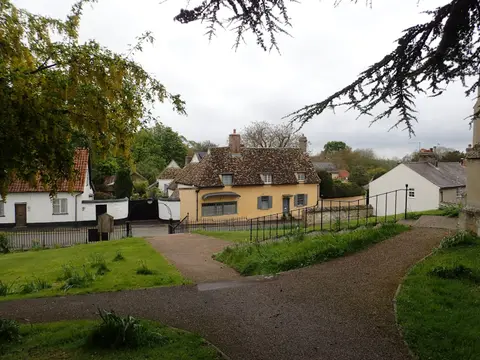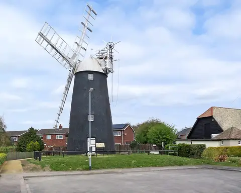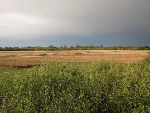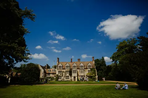
Approximate location — this spot is pinned to the nearest village, so the exact point may be a little way off.
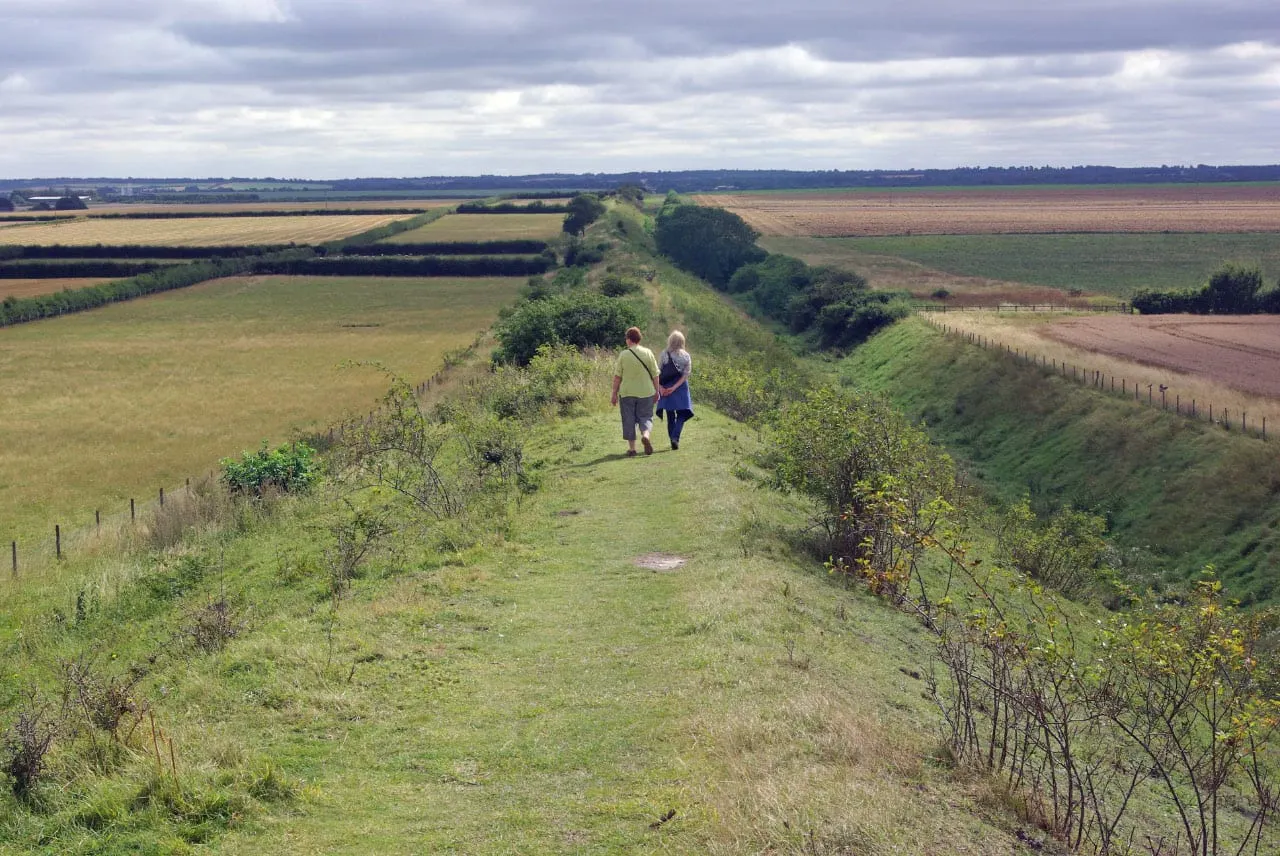
A vast Anglo-Saxon earthwork, Devil’s Dyke runs dead straight for roughly seven miles from the fen edge at Reach to the wooded chalk at Woodditton. The bank and ditch still stand around 10 metres from base to crest, and a footpath follows the top the whole way, crossing Newmarket racecourse midway. Best walked one-way; Waterbeach station is about 7km from the Reach end.