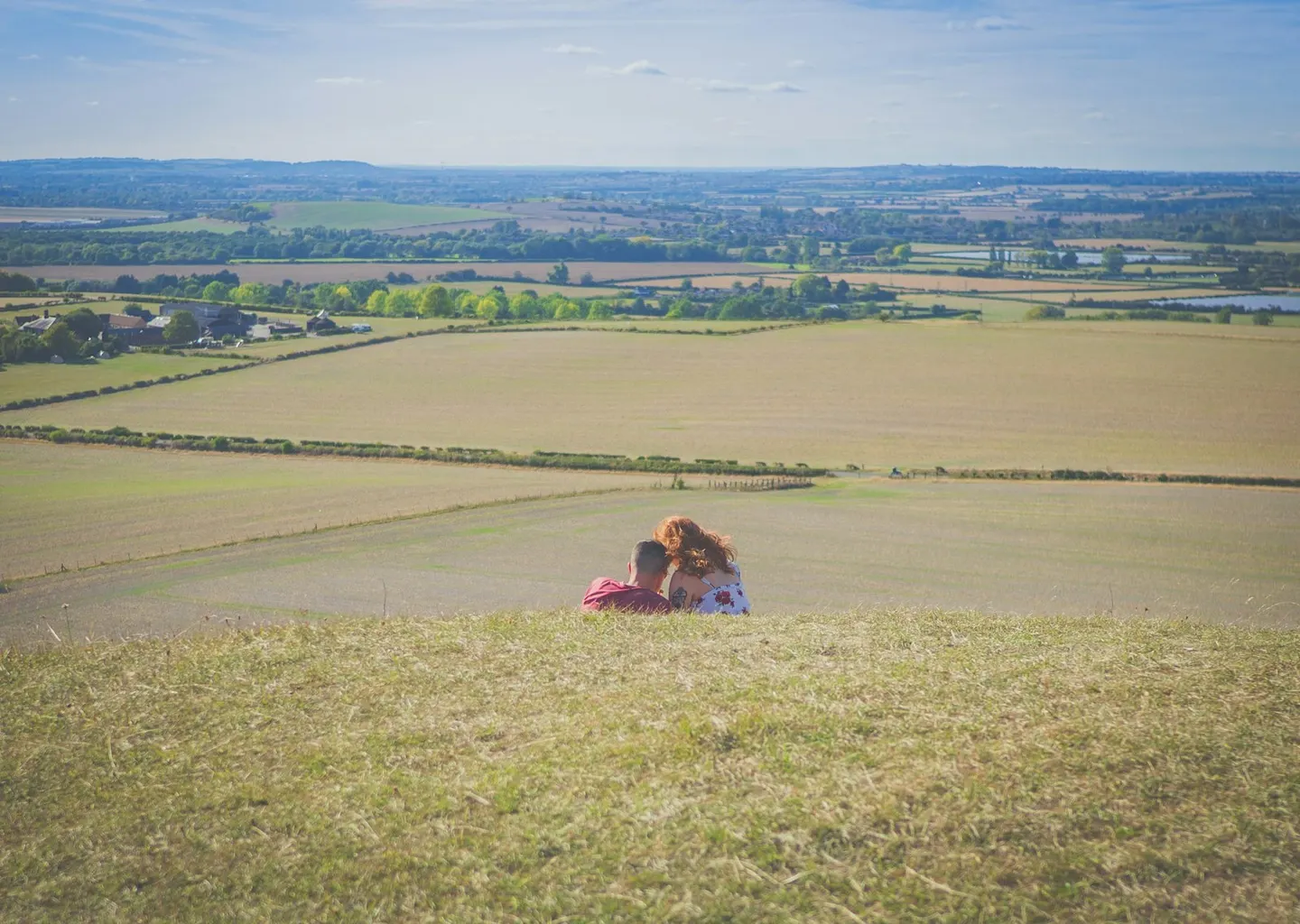
Places to explore near Tring StationTring
Tring Station sits inside the Chilterns National Landscape. 57 places within 10 km — the standouts first, nearest first within each group.
Worth the tripnational icons and local highlights within reach
Also nearbygood places nearby, nearest first
Everything else within 10 km (35) — reserves, earthworks & places to check before travelling
- The Full MoonPub5.5 km S
- The LambPub5.6 km SE
- BerkhamstedVillage6.2 km SE
- Wendover WoodsMarilyn6.9 km SW
- Alford ArmsPub7 km E
- The Bell (Studham)Pub8.1 km NE
- WhipsnadeCountry estate8.2 km NE
- Mad Squirrel BreweryBrewery8.7 km SE
- Hale Valley VineyardVineyard8.8 km SW
- Dunstable Downs Country ParkCountry park8.9 km NE
- WendoverVillage9.2 km SW
- Bacombe and Coombe HillsSSSI9.9 km SW
- Aldbury NowersSSSI0.5 km N
- Ashridge Commons and WoodsSSSI1.4 km SE
- Pitstone HillSSSI1.7 km N
- Oddy Hill and Tring ParkSSSIaccess unclear2.1 km SW
- Pitstone QuarrySSSIaccess unclear2.3 km NW
- Ivinghoe HillsSSSI2.4 km NE
- St Peter and St Paul, TringChurch2.7 km W
- Tring WoodlandsSSSIaccess unclear3.5 km SW
- Alpine MeadowSSSIaccess unclear4.2 km SE
- Pavis WoodCounty topaccess unclear4.8 km SW
- Cholesbury CampHillfortaccess unclear5.4 km SW
- Dancersend WaterworksSSSIaccess unclear5.4 km SW
- DancersendSSSI5.5 km SW
- Berkhamsted motteEarthworks of a former castle6 km SE
- Aston Clinton RagpitsSSSIaccess unclear6.2 km W
- Hawridge Court ringworkEarthworks of a former castleaccess unclear6.4 km S
- Little Heath PitSSSI7.6 km SE
- St Mary the Virgin, EdlesboroughChurch7.6 km N
- Boddington CampHillfort8.1 km SW
- Mentmore TowersHouse & gardenaccess unclear8.3 km NW
- Weston Turville ReservoirSSSIaccess unclear8.9 km W
- Weston Turville CastleEarthworks of a former castleaccess unclear9.3 km W
- Kensworth Chalk PitSSSIaccess unclear9.6 km NE
Ordered by how far each place is worth travelling for, then by distance. Distances are straight-line to the nearest edge of each place — paths wind, of course.