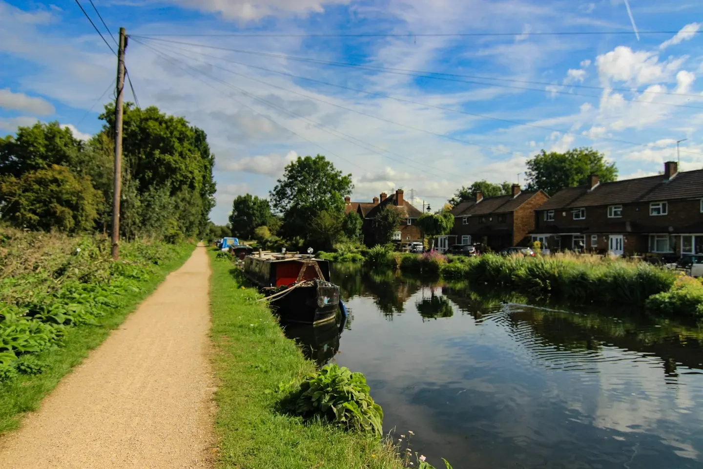
Fifty miles down the River Lea from its source above Luton to the Thames at Limehouse, turning from countryside to city as it goes
Indicative — sampled from open terrain data along the simplified route.
The Lea Valley Walk follows the River Lea for 50 miles, from its source at Leagrave on the northern edge of Luton down to the Thames at Limehouse Basin in east London. It is waymarked throughout with a swan, and its character changes steadily along the way: rural Hertfordshire at the top, the towpath of the Lee Navigation through the middle, and the built-up edge of the capital at the end. Most walkers take three or four days, and it splits easily into shorter sections.
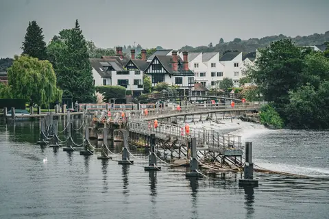
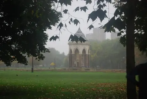
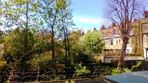
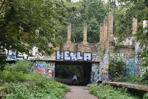
The upper river is quiet and pastoral, passing Wheathampstead and Hatfield before reaching Hertford, where the path joins the canalised navigation. From there it is flat and continuous, following the water through Ware, Hoddesdon and Broxbourne into the Lee Valley Regional Park, a long chain of reservoirs, marshes and open ground that reaches most of the way into London. Below Waltham Abbey the surroundings grow busier, running past Walthamstow and the marshes of Hackney to the Olympic Park at Stratford, and out to the river.
Because it keeps to the valley floor the walking is level and undemanding for its whole length, and never far from a road, station or town. That makes it a good route to do piecemeal: the valley is well served by rail, with stations at intervals down the navigation from Hertford to Stratford and Limehouse.
The route was opened in 1993 and links footpaths and towpath along a river that has been worked for centuries — the Lee Navigation, improved in stages from the 16th century, carried malt and grain down to London’s breweries.