Capital Ring
A 78-mile circular walk around inner London, in fifteen signposted sections between the parks and the river
Indicative — sampled from open terrain data along the simplified route.
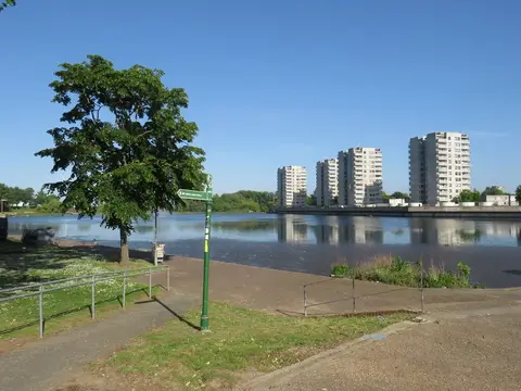
The Capital Ring is a 78-mile route that circles inner and suburban London, beginning and ending at the Woolwich foot tunnel under the Thames at Woolwich. It is divided into 15 sections, each a few miles long and each reachable by public transport, so it is almost always walked a section at a time rather than in a single push. The going is easy and mostly level, and the route is thoroughly signposted.
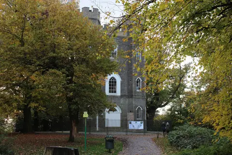
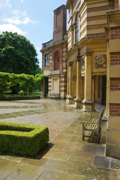
Its appeal is the string of green spaces it threads together — Richmond Park, Wimbledon Common, Crystal Palace Park, Finsbury Park and the marshes of the Lea valley at Walthamstow — linked by canal towpath and quiet residential streets in between. Sights along the way include the Thames Barrier, Eltham Palace and the hilltop folly of Severndroog Castle in the south, and Horsenden Hill in the west, the highest point on the ring. The Thames is crossed twice, at Woolwich and again at Richmond.
The Capital Ring was created by the London Walking Forum and opened in 2005 as an inner companion to the older and larger London LOOP. Because every section starts and finishes close to a station, it lends itself to being picked up piecemeal over weeks — a way of seeing how much open ground survives inside the city.