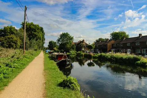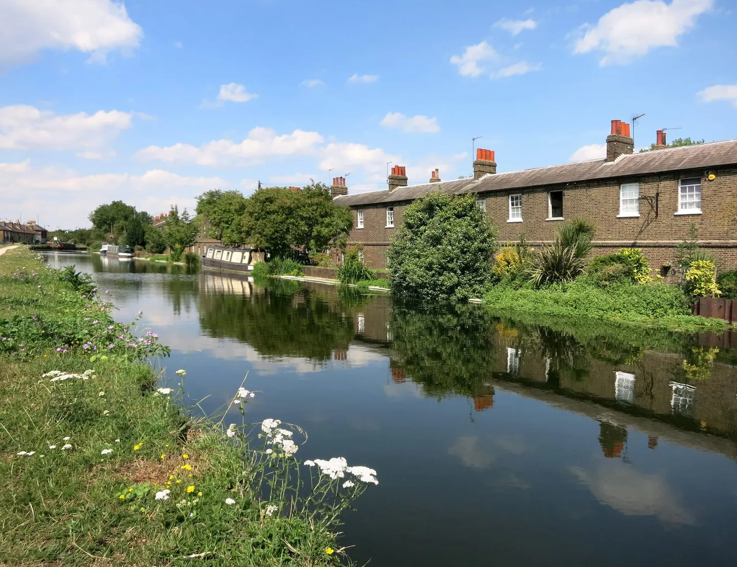
The canalised River Lea, twenty-seven miles from Hertford down through the Lee Valley to the Thames at Bow
The Lee Navigation is the canalised River Lea, engineered to carry boats from Hertford down through the Lee Valley to the River Thames at Bow, in east London. It runs about twenty-seven and a half miles through some twenty locks. The spellings sit side by side by long habit: the natural river is usually the Lea, the made navigation the Lee, and the two run in and out of each other the whole way down.
It was made navigable under an Act of 1767, completed in 1771 with Thomas Yeoman as engineer, who cut new channels, built towpaths and added locks to bypass the river’s shoals. For centuries it was a working artery bringing grain, timber and gunpowder into London — Waltham Abbey, on the route, held the royal gunpowder mills — and later feeding the industries of the Lea Valley.
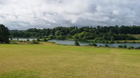
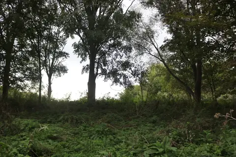
The upper reaches, from Hertford through Ware and Broxbourne, are green and semi-rural, threading the reservoirs, marshes and country parks of the Lee Valley Regional Park. Further south the navigation grows steadily more urban, running through Enfield, Tottenham and Hackney, and past the Queen Elizabeth Olympic Park at Stratford, before dropping through Bow Locks to the tidal Thames.
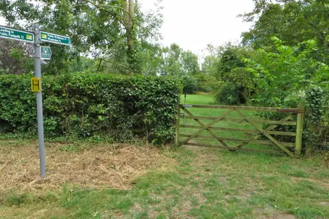
The whole towpath is walkable and cyclable, carrying the Lea Valley Walk and part of National Cycle Route 1. It is flat throughout and exceptionally easy to reach: Overground and rail stations line the valley from Hertford down into London, so any stretch can be walked point to point. The navigation runs through Hertfordshire, briefly along the Essex border, and into the capital.