The canalised Stort, running fourteen quiet miles from Bishop's Stortford down through Harlow to join the Lee
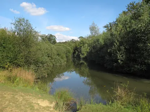
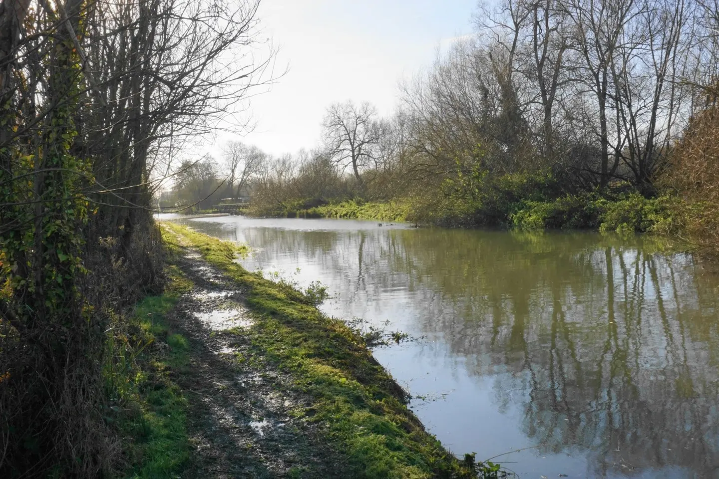
The Stort Navigation is the canalised River Stort, running about fourteen miles from Bishop’s Stortford in Hertfordshire down to Feildes Weir, where it joins the Lee Navigation near Hoddesdon. There are fifteen locks along the way, spaced through a green, willow-lined valley that keeps largely to the Essex border. It is gentle, low-lying water, easy walking and easy paddling, and never far from a town or a station.
The river was made navigable in the 1760s and opened for trade in 1769. The reason was malt: Bishop’s Stortford was a major malting town, and the navigation was built to move malt, barley and grain down towards the Lee and on to London, bringing coal and lime back up. Barges worked it into the twentieth century before the trade faded.
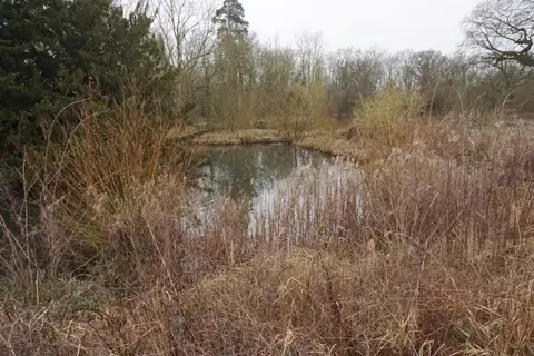
Below Bishop’s Stortford the navigation runs through Sawbridgeworth and along the eastern edge of Harlow, where the new town’s parks and green wedges come down to the water, then on through the marshes and gravel-pit lakes towards the Lee. Much of the valley is now managed for wildlife, and the meadows and reedbeds beside the water are good for birds.
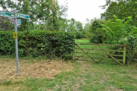
It is one of the easier waterways to walk in stages. The West Anglia railway follows the valley closely, with stations at Bishop’s Stortford, Sawbridgeworth, Harlow Town and Roydon all close to the towpath, so a stretch can be walked one way and the train taken back.