Nearly nine miles of towpath across north London, from Little Venice to the tidal Thames at Limehouse
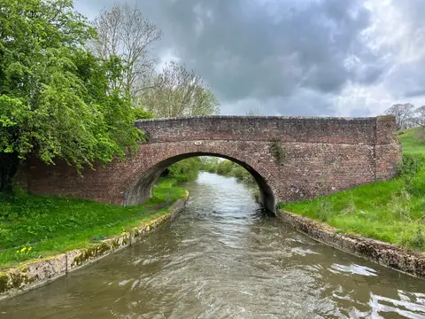
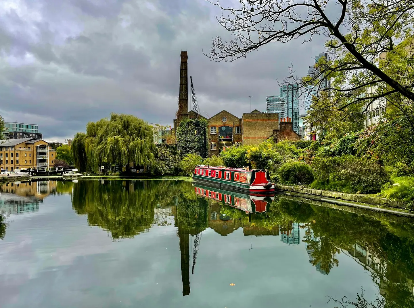
The Regent’s Canal runs 8.6 miles across the north of inner London, from Little Venice in the west to Limehouse Basin and the tidal River Thames in the east. It was finished in 1820 as the link the network lacked, joining the Paddington Arm of the Grand Union Canal to the docks at Limehouse so that goods from the Midlands could reach the river without crossing the city by road. A dozen locks step it down to the Thames. It takes its name from the Prince Regent, later George IV, whose architect John Nash backed the scheme and routed it along the northern edge of Regent’s Park.
For a walker or cyclist the towpath is continuous and level, and is now one of the busiest walking and cycling routes in the city. From Little Venice, just off Paddington, it passes the park and London Zoo, drops through the well-known locks at Camden, then runs behind King’s Cross to the Islington Tunnel — nearly half a mile with no towpath, where the route diverts through the streets above — before carrying on through Hackney and past Victoria Park to Limehouse. It can be joined or left at almost any point, much of it close to a station.
Unlike many canals it never closed, though it lost its cargo trade first to the railways and then to the road. The Canal & River Trust keeps it now as a green corridor through the city, lined with houseboats, and herons, moorhens and cormorants are common along the water.