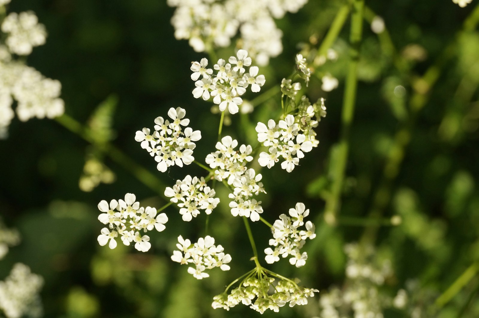
Photo Krishna Sagar Rayudu / Unsplash
Places to explore near Luton
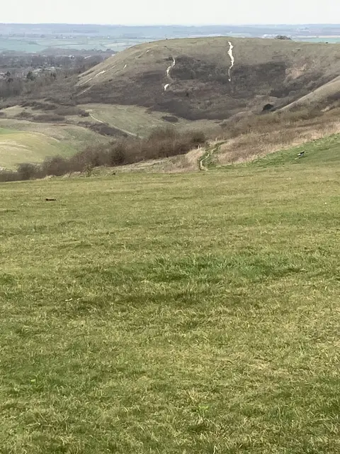
Straw plaiting and hat-making built Luton, and the Vauxhall car works carried it into the twentieth century; the young River Lea rises just south of the town. The Chilterns begin at the doorstep, their chalk escarpment climbing to Dunstable Downs, where gliders ride the updraught above the Vale of Aylesbury. Along the scarp stand the beech-crowned Iron Age ramparts of Sharpenhoe Clappers and the rare chalk grassland of Barton Hills, while the Whipsnade Tree Cathedral and its wooded common crown the ridge to the south-west.
100 places within 25 km — the standouts first, nearest first within each group. 3 are national icons.
Worth the tripnational icons and local highlights within reach
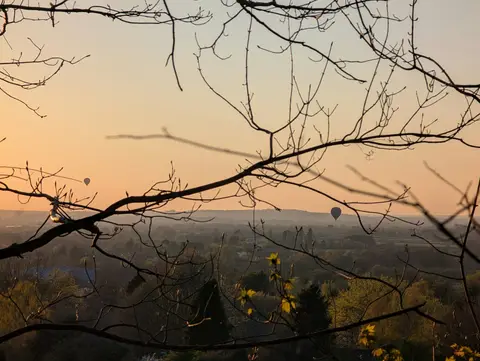
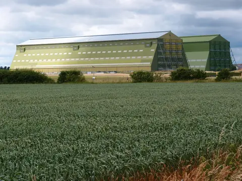

Also nearbygood places nearby, nearest first
Everything else within 25 km (56) — reserves, earthworks & places to check before travelling
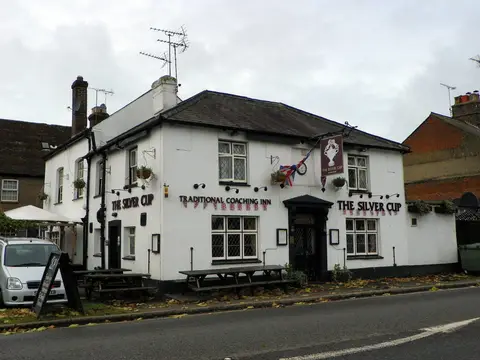
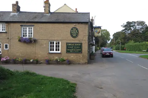
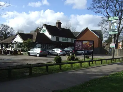
- The Bell (Studham)Pub8.5 km SW
- WhipsnadeCountry estate9.3 km W
- All Saints Church, ChalgraveChurch10.3 km NW
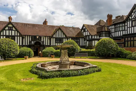
- Shaw's CornerHouse & garden11.3 km SE
- St George's Church, ToddingtonChurch11.3 km NW
- HitchinVillage11.9 km NE
- Alford ArmsPub13.6 km SW
- The RidgewayNational Trail13.8 km W
- Mad Squirrel BreweryBrewery13.8 km SW
- Old Gorhambury HouseHouse13.8 km S
- IvinghoeVillage14.2 km W
- Dallow Downs and Winsdon HillSSSIaccess unclear1 km W
- Someries CastleCastleaccess unclear3.1 km E
- Cowslip MeadowSSSIaccess unclear3.3 km N
- Luton HooHouse & gardenaccess unclear3.4 km SE
- Galley and Warden HillsSSSI4.1 km N
- Whitehill (Butterfield Green)County topaccess unclear4.3 km N
- Blow's DownSSSI5 km W
- Kensworth Chalk PitSSSIaccess unclear6.2 km W
- Sundon Chalk QuarrySSSI7.1 km NW
- St Mary's Church, HitchinChurch7.8 km NE
- Barton HillsNational Nature Reserve8 km N
- Smithcombe, Sharpenhoe and Sundon HillsSSSI8 km N
- Houghton Regis Marl LakesSSSIaccess unclear8.1 km W
- Ravensburgh CastleCastleaccess unclear8.2 km N
- Deacon HillSSSI8.4 km N
- Fancott Woods and MeadowsSSSIaccess unclear8.8 km NW
- RedbournVillage9.1 km S
- St Nicholas Church, Barton-le-ClayChurch9.2 km N
- Sharpenhoe ClappersPromontory fort9.4 km N
- Maiden Bower hillfortHillfortaccess unclear9.5 km W
- Wain WoodSSSIaccess unclear9.5 km NE
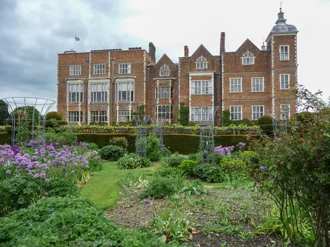
- St Paul's Walden BuryHouse & gardenaccess unclear9.8 km E
- Temple DinsleyHouse & gardenaccess unclear10 km E
- Knocking HoeNational Nature Reserve10.2 km NE
- Totternhoe Chalk QuarrySSSIaccess unclear10.2 km W
- Dropshort MarshSSSIaccess unclear10.5 km NW
- Totternhoe KnollsSSSI10.7 km W
- Conger HillEarthworks of a former castleaccess unclear11 km NW
- Totternhoe CastleEarthworks of a former castle11 km W
- Totternhoe Stone PitSSSIaccess unclear11 km W
- WheathampsteadVillage11.2 km SE
- Oughtonhead LaneSSSIaccess unclear11.7 km NE
- Toot Hill motte (Hertfordshire)Earthworks of a former castleaccess unclear11.8 km NE
- Ashridge Commons and WoodsSSSI11.8 km SW
- St Mary the Virgin, EdlesboroughChurch11.8 km W
- Warren KnollEarthworks of a former castleaccess unclear12 km W
- Pulloxhill MarshSSSIaccess unclear12.5 km N
- Ivinghoe HillsSSSI12.6 km W
- Knebworth WoodsSSSI12.8 km E
- Tebworth MarshSSSIaccess unclear13.1 km NW
- Gadebridge Roman villaRoman archaeological siteaccess unclear13.2 km S
- Flitwick MoorSSSIaccess unclear13.9 km N
- Great Wymondley CastleEarthworks of a former castleaccess unclear14.4 km NE
- Mount (Bedfordshire)Earthworks of a former castleaccess unclear14.5 km NW
- Wymondley PrioryPrioryaccess unclear14.5 km NE
Ordered by how far each place is worth travelling for, then by distance. Distances are straight-line to the nearest edge of each place — paths wind, of course.