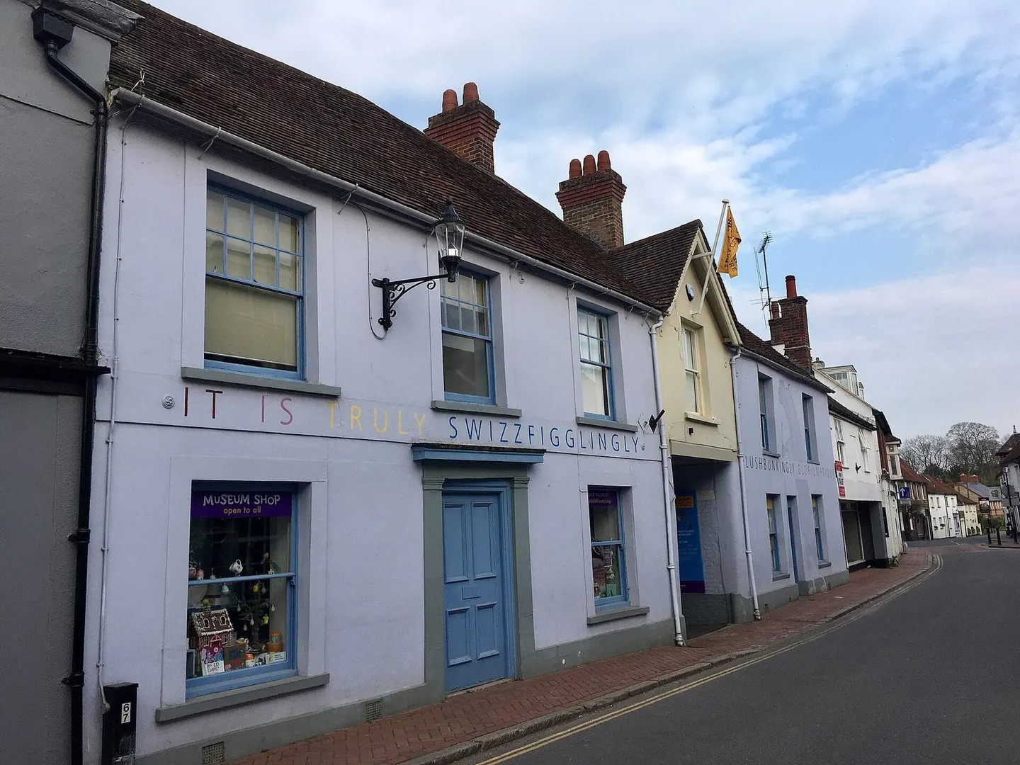
Places to explore near Little Kimble StationLittle Kimble
49 places within 10 km — the standouts first, nearest first within each group.
Worth the tripnational icons and local highlights within reach
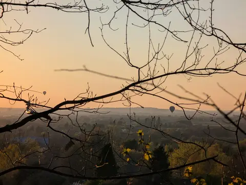
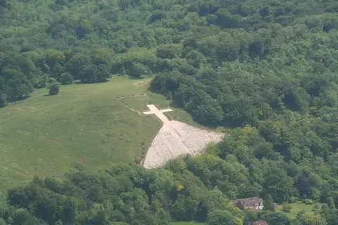
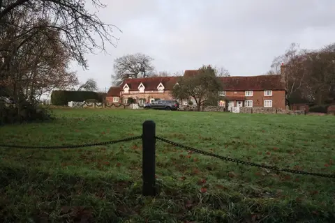
Also nearbygood places nearby, nearest first

Everything else within 10 km (35) — reserves, earthworks & places to check before travelling
- The Lyde GardenGarden6 km SW
- BledlowVillage6.3 km SW
- The Lions of BledlowPub6.6 km SW
- Lacey Green WindmillWindmill6.8 km S
- Wendover WoodsMarilyn7.1 km E
- The King's HeadPub or restaurant7.2 km N
- Bradenham Woods, Park Wood & The CoppiceSSSI7.4 km S
- Chinnor HillSSSI7.6 km SW
- Turn End GardenGarden7.6 km W
- HaddenhamVillage8.5 km W
- The Polecat InnPub8.9 km SE
- Peterley Manor FarmFarm & farm shop9.3 km SE
- The Crown (Cuddington)Pub9.6 km NW
- CuddingtonVillage9.7 km NW
- Motte and bailey castleEarthworks of a former castleaccess unclear0.4 km SE
- Ellesborough and Kimble WarrensSSSI0.5 km SE
- Cymbeline's CastleEarthworks of a former castleaccess unclear0.9 km E
- Grangelands & Pulpit HillSSSI1.3 km S
- Windsor HillSSSIaccess unclear3.2 km S
- Weston Turville ReservoirSSSIaccess unclear4.7 km NE
- Dane's CampEarthworks of a former castleaccess unclear5.2 km SE
- Weston Turville CastleEarthworks of a former castleaccess unclear5.2 km NE
- Boddington CampHillfort6 km E
- Bugle QuarrySSSIaccess unclear6.2 km NW
- Lodge HillSSSI6.8 km SW
- Hartwell HouseHouse & gardenaccess unclear6.9 km N
- StoneSSSIaccess unclear7.5 km NW
- Aston Clinton RagpitsSSSIaccess unclear7.6 km NE
- DancersendSSSI7.8 km E
- Dancersend WaterworksSSSIaccess unclear8.5 km E
- Chinnor Chalk PitSSSIaccess unclear9 km SW
- Naphill CommonSSSI9 km S
- Bierton Clay PitSSSIaccess unclear9.2 km N
- Pavis WoodCounty topaccess unclear9.4 km E
- Tring WoodlandsSSSIaccess unclear9.4 km E
Ordered by how far each place is worth travelling for, then by distance. Distances are straight-line to the nearest edge of each place — paths wind, of course.