A river from Llyn Tegid in Eryri through the Vale of Llangollen and Chester to a wide estuary on the Irish Sea
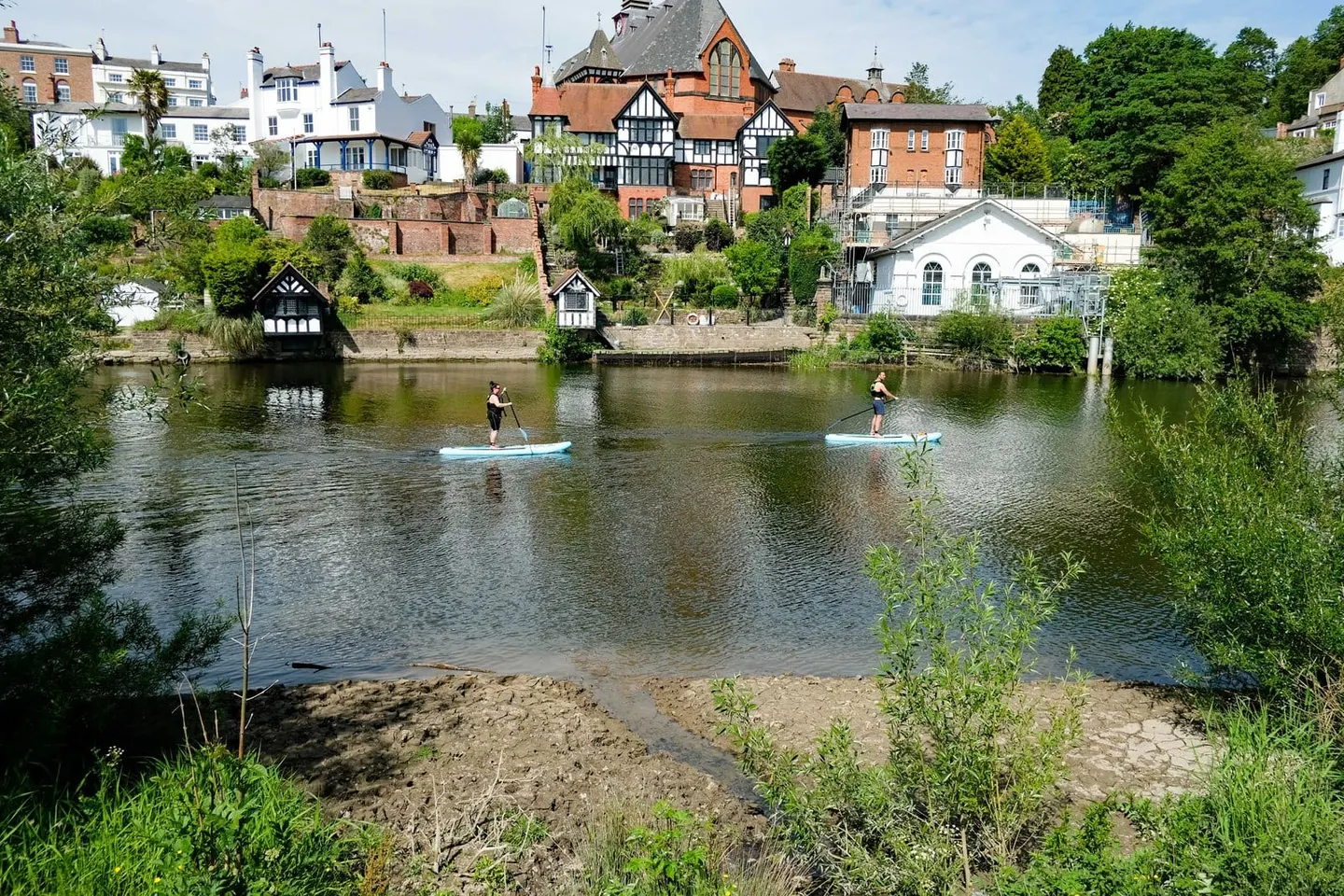
The Dee runs out of Llyn Tegid at Bala, down the Vale of Edeirnion past Corwen and Carrog, through the gorge below Llangollen, and then out across the Cheshire plain to Chester and a huge sandy estuary. About seventy miles in all, and a river that has been worked harder than most: it is dammed at the top for water supply, drawn on for much of north-east Wales and Cheshire, and canalised below Chester in the 1730s.
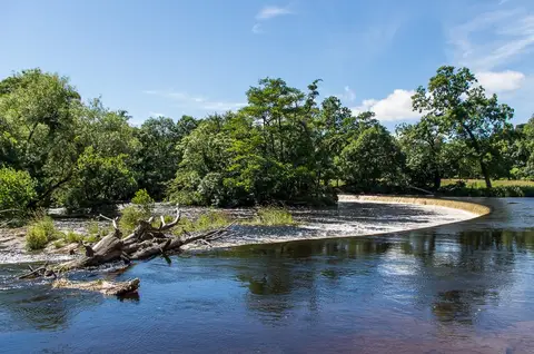
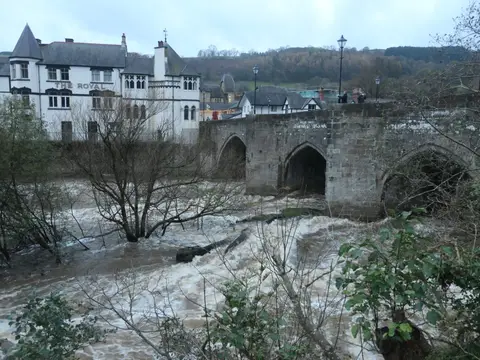
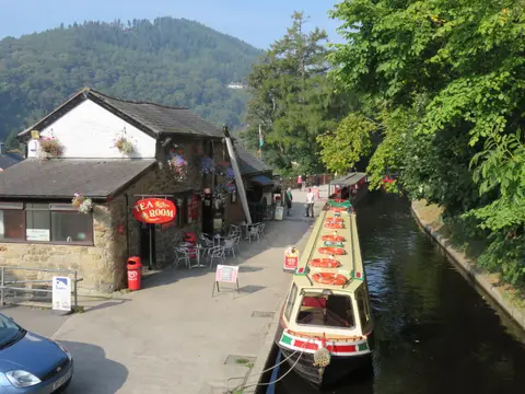
The Llangollen stretch is the best known. Horseshoe Falls, a curving weir built by Telford, feeds the Llangollen Canal from the river; the Pontcysyllte Aqueduct carries that canal back over the Dee 38 metres up, and is a World Heritage Site. The white water below Llangollen bridge is a long-established slalom and rafting course, and the international canoe course draws paddlers all year.
Salmon still run the Dee. Valle Crucis Abbey sits just off the river above Llangollen, and Ruabon and Chester stations are the nearest trains.