A quiet rural canal from the Shropshire border to Newtown, half-restored and rich in rare water plants
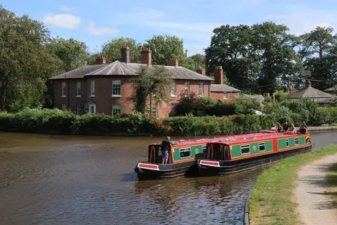
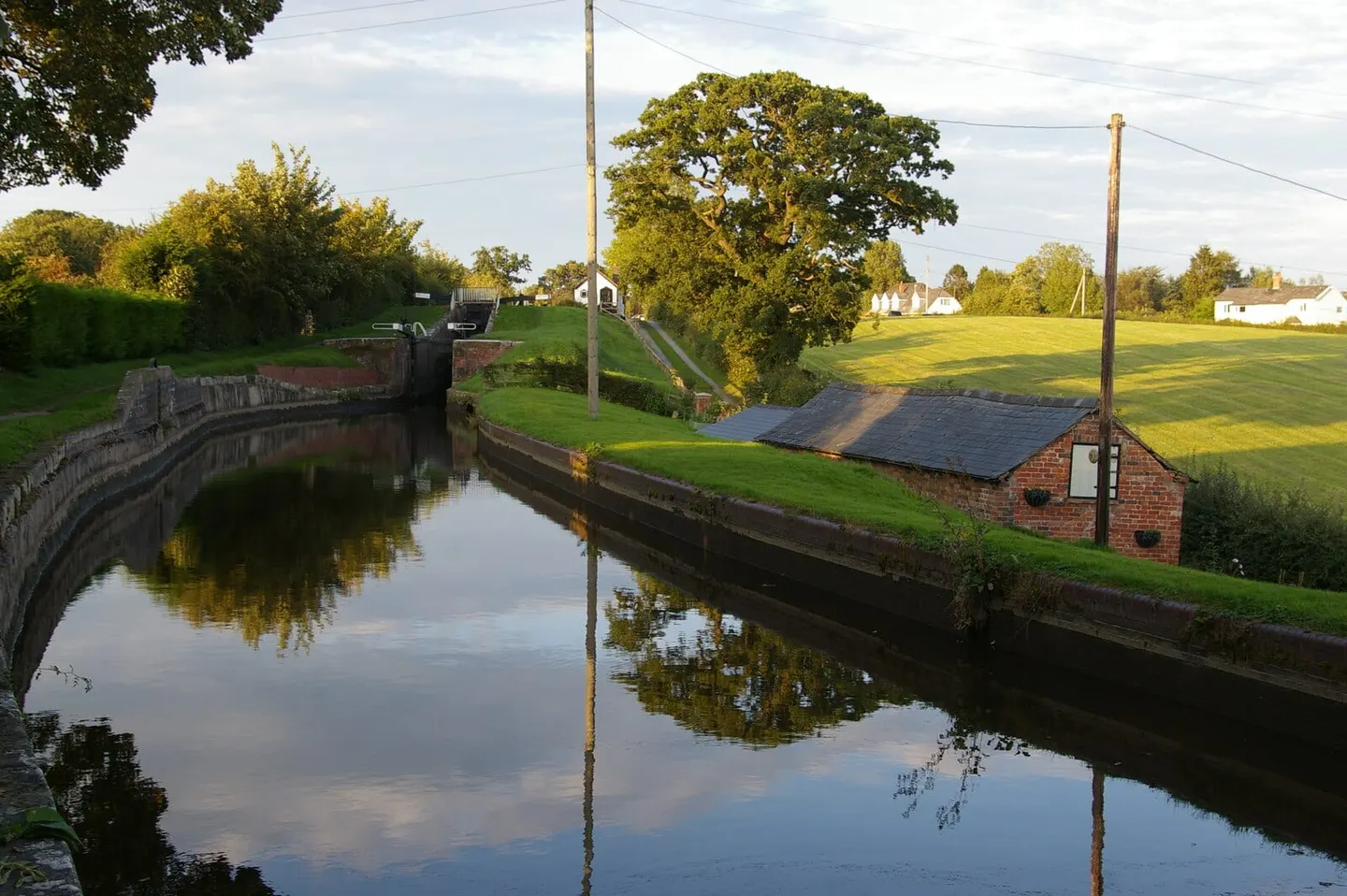
The Montgomery Canal runs about 35 miles (56 km) from Frankton Junction on the Llangollen Canal in Shropshire across the border into Powys, ending at Newtown. It was built in stages between the 1790s and 1819 — an agricultural canal, carrying lime, coal and farm goods to and from a farming county rather than the heavy industry of the south Wales valleys. On the way it passes Welshpool and the small town of Montgomery that gave it its name.
Unlike most of the network it is not navigable end to end. After a breach in 1936 the canal was abandoned, and although restoration began with a volunteer “Big Dig” at Welshpool in 1969 and has since reopened long stretches, a gap remains between Crickheath in Shropshire and Welshpool. The result is a canal walked and paddled far more than it is boated — the towpath runs the whole way and makes a level, little-used route through the Severn valley.
Its quiet years left it exceptionally rich in wildlife, and parts are protected as a Site of Special Scientific Interest and a Special Area of Conservation. It holds the largest British populations of two rare water plants, floating water-plantain and grass-wrack pondweed, and otters are seen near Welshpool. Restoration here is managed carefully so as not to lose them.
Welshpool and Newtown both sit on the Cambrian rail line, so the canal is easy to reach for a towpath walk of any length.