Ninety-nine miles across the Bannau Brycheiniog uplands, from the Skirrid near Abergavenny to Bethlehem beyond Llangadog
Indicative — sampled from open terrain data along the simplified route.
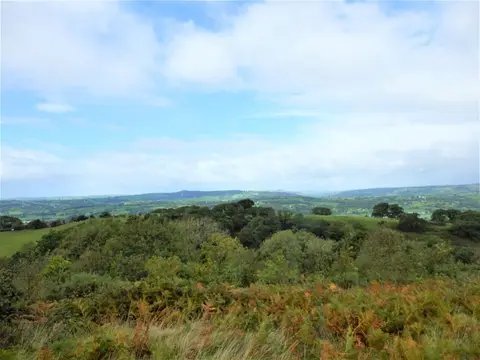
The Beacons Way runs 99 miles (159 km) east to west across Bannau Brycheiniog, the national park long known as the Brecon Beacons. It begins at Ysgyryd Fawr, the Skirrid, above Abergavenny, and ends at Bethlehem, a hamlet near Llangadog in Carmarthenshire, usually over about eight days. It is one of the harder long walks in Wales: a great deal of open mountain, around 8,500 feet of ascent in total, and stretches where waymarking is thin and the navigation is left to you.
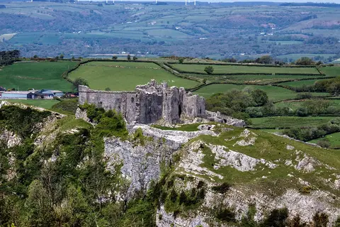
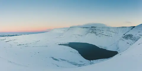
It crosses the park’s three upland blocks in turn. First the Black Mountains in the east, above Llanthony Priory; then the central Beacons over Pen y Fan, at 886 metres the highest ground in southern Britain; and finally the western Black Mountain — confusingly the singular of the first, a separate range altogether — where the path passes the glacial lake of Llyn y Fan Fach beneath Fan Brycheiniog. Near the finish it drops to the crag-top ruin of Carreg Cennen castle.
Abergavenny sits on the Newport–Hereford line and Llangadog on the Heart of Wales line, so both ends are reachable by train, but the high middle is far from any road. Crickhowell and Llangynidr make natural places to break the walk.
The route was devised by John Sansom and the Brecon Beacons Park Society and opened in 2005, linking existing rights of way into a single traverse of the park.