Open accessNational Trust land — free to wander
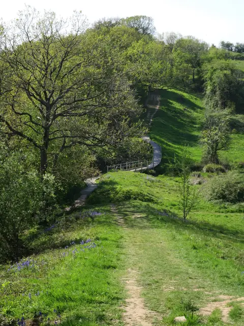
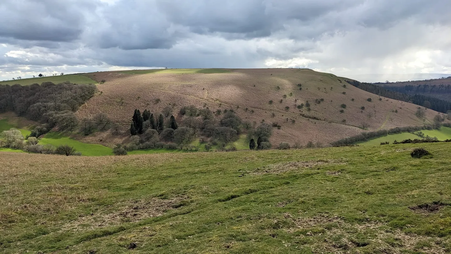
Bradnor Hill tops out at 392 m in Herefordshire. It counts among the 1,546 Marilyns, British hills with at least 150 m of drop on every side. Only one of the ten hills the Albion Guide maps in Herefordshire stands higher.
Knighton Station is 14 km away to the north. Other hills nearby include Hergest Ridge and Wapley Hill.
More at hill-bagging.co.uk