Twenty miles of one of England's oldest river navigations, from Godalming through Guildford to the Thames at Weybridge
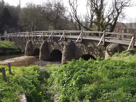
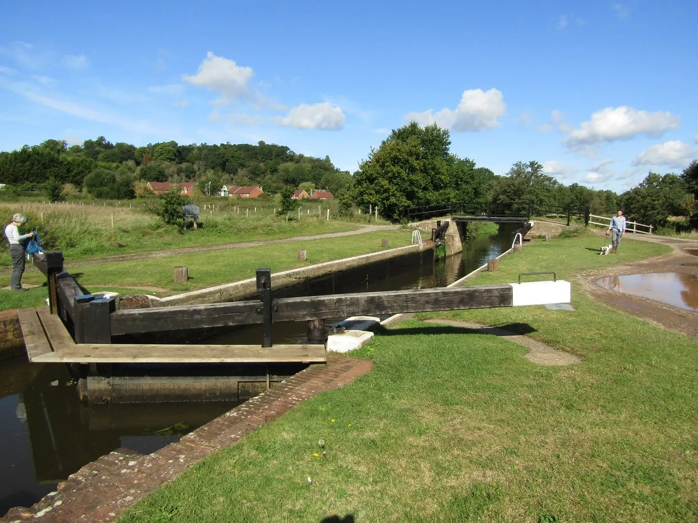
The Wey and Godalming Navigations together make a continuous 20-mile route from Godalming in Surrey, through Guildford, down to the River Thames at Weybridge. Sixteen locks carry boats along it. The Wey Navigation, the lower and older part, was one of the first rivers in England to be made properly navigable, opening to barges in 1653; the Godalming Navigation, added in 1764, extended the head of navigation four miles further upstream.
It runs through soft, wooded Surrey countryside and the middle of Guildford, mixing natural river with cut channels that bypass the meanders. The towpath is flat and continuous for its whole length, which makes it an easy walk or cycle, and the connection to the Thames at Weybridge lets it link into the Thames Path and the wider network. At Shalford the Wey & Arun Canal once branched south toward the Sussex coast, a link now under long restoration.
The engineer behind the original works was Sir Richard Weston, who lived at Sutton Place just north of Guildford and had seen canalised rivers at work in the Low Countries. His navigation carried grain, timber and gunpowder between Guildford and London for three centuries. Since the 1960s the whole system has belonged to the National Trust, which keeps it as a working waterway and runs a visitor centre at Dapdune Wharf in Guildford, where one of the last surviving Wey barges is preserved.
Guildford and Godalming both have stations, so a one-way walk along the towpath is simple to arrange.