Basingstoke Canal
A restored country canal running thirty-two miles across Surrey and Hampshire, from the Wey Navigation to the sealed tunnel at Greywell
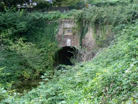
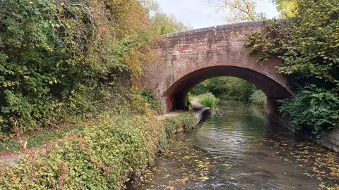
The Basingstoke Canal leaves the River Wey Navigation near West Byfleet in Surrey and runs about 32 miles west into Hampshire, through Woking, Aldershot and Fleet to end at Greywell. It climbs 29 locks, most of them grouped in the Deepcut flight, then holds a long summit level across quiet, wooded country. Despite its name it no longer reaches Basingstoke: the Greywell Tunnel beyond the village collapsed in the 1930s and has never reopened, so the canal now stops short of it.
It was authorised in 1778 and opened in 1794, built to carry agricultural goods and timber towards London, though it never made money and its through trade was short-lived. After long decline it was bought by the two county councils and restored by the Surrey and Hampshire Canal Society, reopening as a navigable waterway in 1991. Today it is run by the Basingstoke Canal Authority.
The blocked tunnel has an afterlife of its own: it is one of the most important bat roosts in Britain, home to thousands of hibernating bats, and that protection is a large part of why the western end stays sealed.
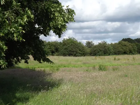
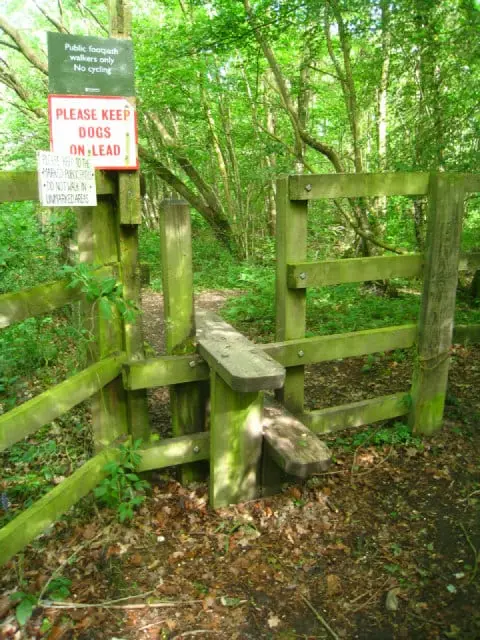
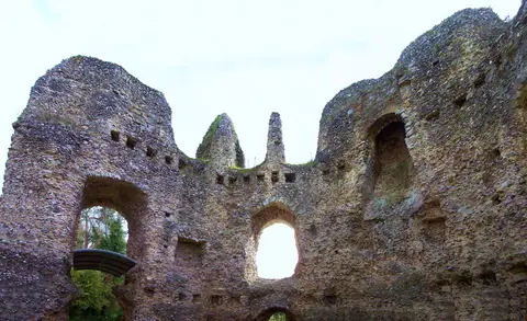
The whole canal is now a Site of Special Scientific Interest, one of the richest waterways in the country for aquatic plants and insects. For walkers the towpath runs the full length, largely level and easy, passing Odiham and the ruins of its castle, and it is reachable at many points by station along the way through the Surrey and Hampshire commuter belt.