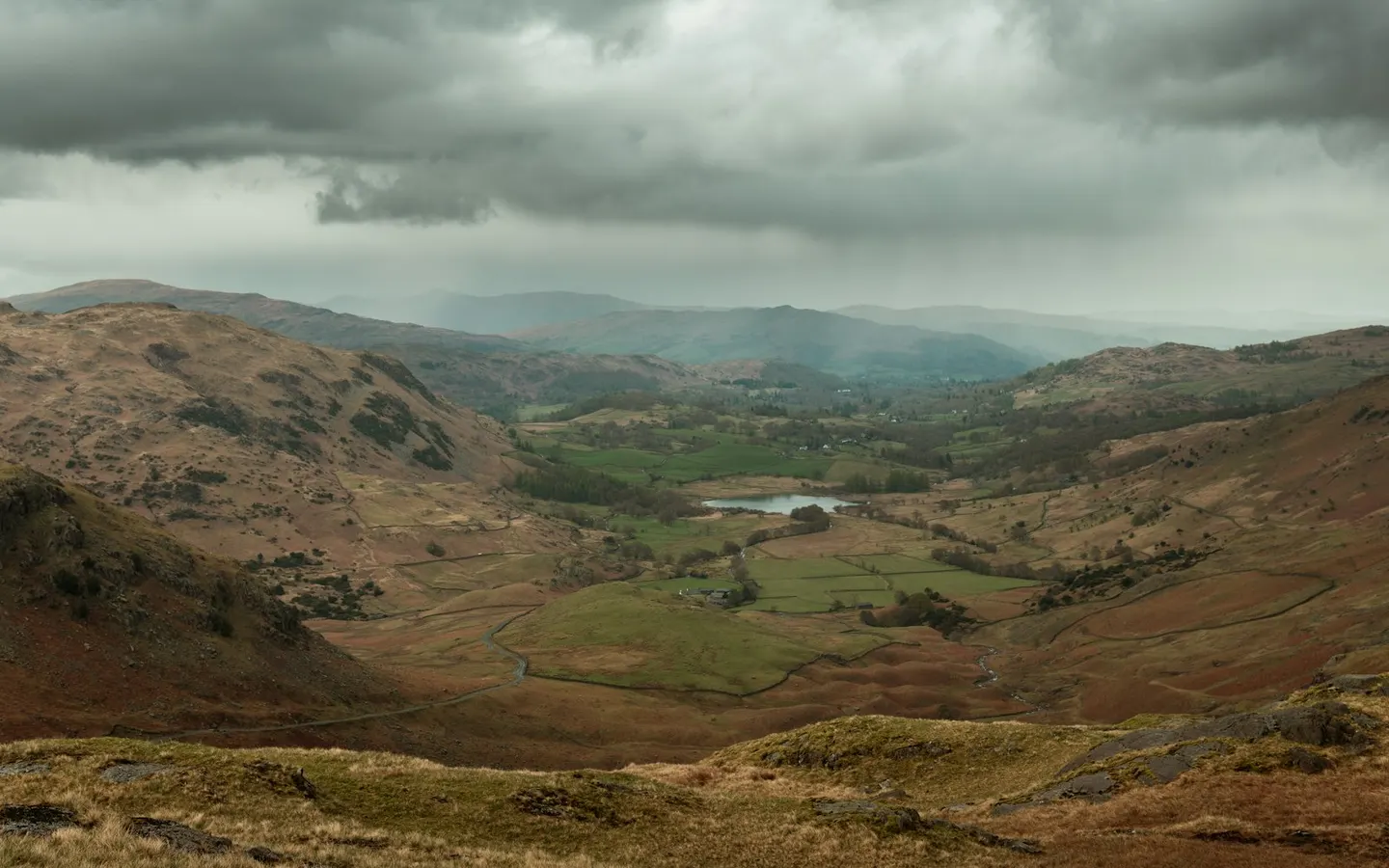
Places to explore near Windermere
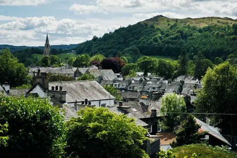
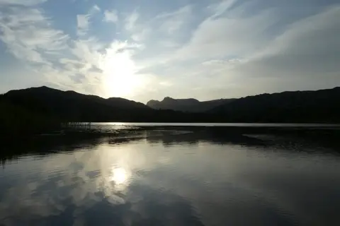
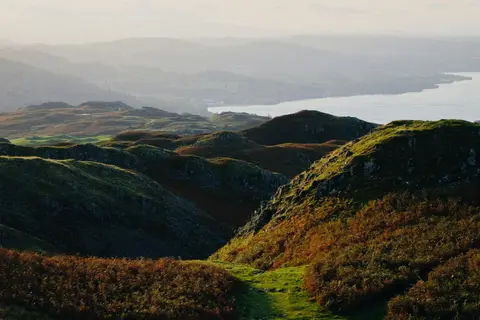
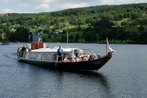
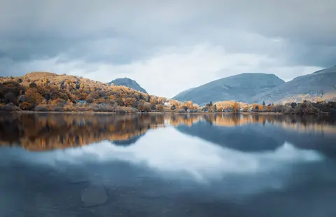
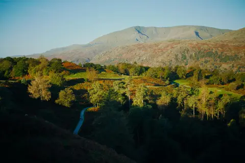
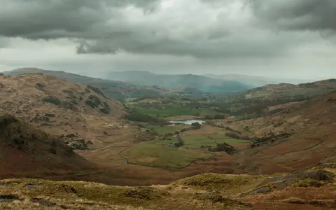
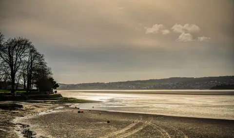
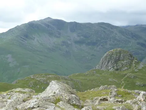
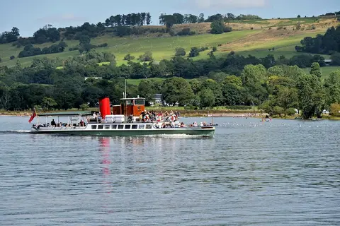
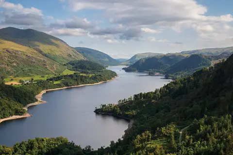
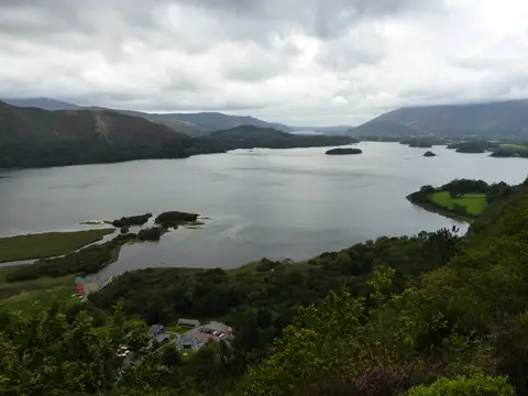
The town grew up around the railway that reached the shore in 1847, drawing Victorian crowds to the largest natural lake in England — the ten-and-a-half-mile ribbon of Windermere below. The classic first view is from Orrest Head, a short climb behind the station that opens the whole central Lake District at a stroke. Steamers call at Bowness on the water, the road runs north through Troutbeck to Ambleside at the lake's head, and the high round to Fairfield beckons the fell-walker beyond.
Windermere sits inside the Lake District National Park. 175 places within 25 km — the standouts first, nearest first within each group. 24 are national icons.
Worth the tripnational icons and local highlights within reach


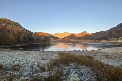
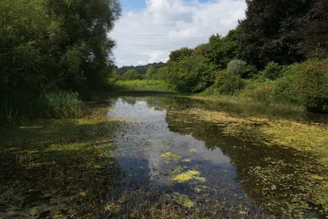
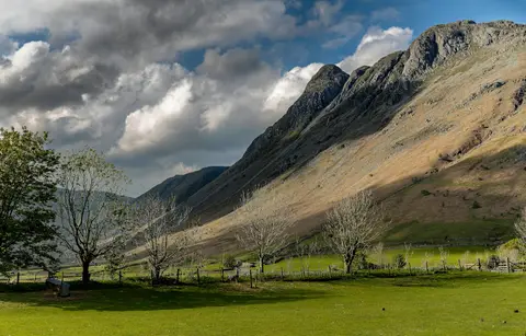
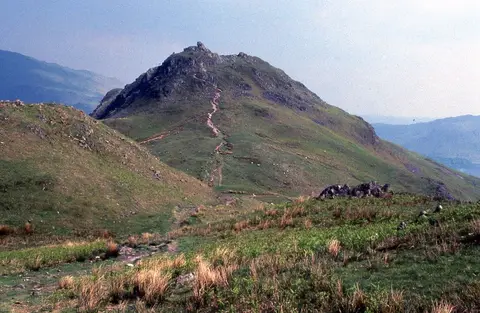



Also nearbygood places nearby, nearest first
Everything else within 25 km (56) — reserves, earthworks & places to check before travelling
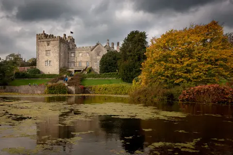
- Wray CastleCastle4.4 km NW
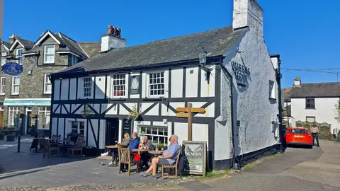
- The Cuckoo Brow InnPub4.6 km SW
- The Mortal ManPub4.7 km N
- The SamlingRestaurant4.8 km NW
- River KentRiver4.9 km NE
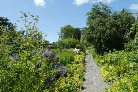
- Stagshaw Garden and AmblesideHouse & garden5.2 km NW
- Tower Bank ArmsPub5.2 km SW
- Esthwaite WaterLake5.5 km SW
- The Outgate InnPub5.8 km W
- Hawkshead Brewery Beer HallBrewery5.8 km E
- More? The Artisan BakeryFarm & farm shop5.8 km E
- StaveleyVillage5.8 km E
- The Eagle & Child InnPub6 km E
- The Kings Arms (Hawkshead)Pub6 km W
- The Red Lion (Hawkshead)Pub6 km W
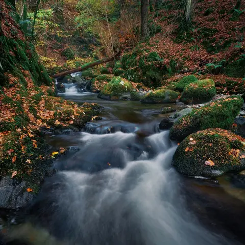
- TroutbeckSSSI6.3 km N
- Lake Road KitchenRestaurant6.7 km NW
- Windermere, Millerground LandingSwimming spot1 km W
- Windermere, Rayrigg MeadowSwimming spot1 km W
- High Lickbarrow Mires and PasturesSSSI1.5 km SE
- School KnottWainwright fell1.8 km SE
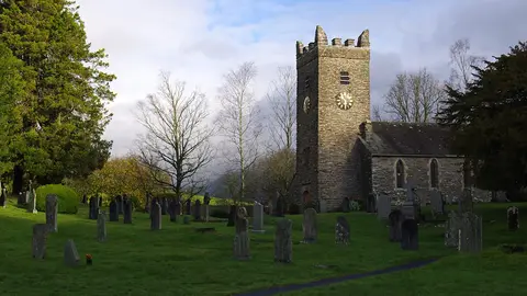
- St Martin's ChurchChurch2 km SW
- GrandsireWainwright fell2.4 km SE
- Brant FellWainwright fellaccess unclear2.5 km S
- Unnamed top near School KnottWainwright fellaccess unclear2.5 km SE
- Belle IsleHouse & gardenaccess unclear2.7 km SW
- The Hot BothySauna3.2 km S
- Claife HeightsWainwright fellaccess unclear3.3 km SW
- Claife Tarns and MiresSSSI3.3 km SW
- The Queen's Head (Troutbeck)Pub3.4 km N
- The Watermill Inn & BreweryPub3.5 km E
- Low Wray BaySSSIaccess unclear4.1 km NW
- Knipe TarnSSSI4.4 km S
- High KnottWainwright fellaccess unclear4.5 km E
- LatterbarrowWainwright fell4.5 km W
- Winster WetlandsSSSI4.5 km S
- Blelham Tarn & BogSSSI4.6 km W
- Skelghyll BeckSSSI4.6 km N
- Reston ScarWainwright fell4.8 km E
- Sour HowesWainwright4.8 km N
- Ludderburn and Candlestick MiresSSSI4.8 km S
- Blelham BogNational Nature Reserve4.9 km NW
- Hugill Fell (Wainwright summit)Wainwright fell5.1 km E
- The Brown Horse InnPub5.1 km S
- WinsterVillage5.1 km S
- St Anne's Church, IngsChurch5.1 km E
- North FenNational Nature Reserve5.4 km W
- Brathay QuarriesSSSIaccess unclear5.7 km NW
- SallowsWainwright5.9 km NE
- Jenny DamSSSIaccess unclear5.9 km SE
- The Wateredge InnPub5.9 km NW
- Hawkshead Methodist ChurchChurch6 km W
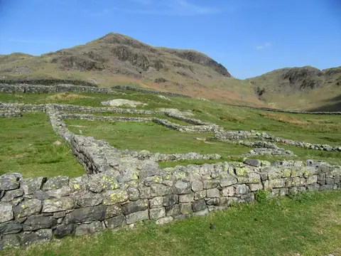
- Ambleside Roman fortRoman archaeological site6.2 km NW
- BaystonesWainwright6.5 km N
- St Mary's Church, AmblesideChurch6.5 km NW
- The Drunken Duck InnPub6.6 km W
Ordered by how far each place is worth travelling for, then by distance. Distances are straight-line to the nearest edge of each place — paths wind, of course.