Fairfield
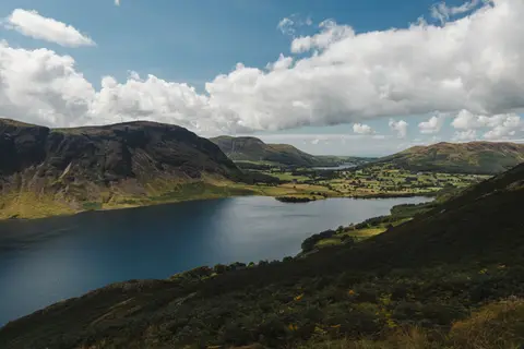
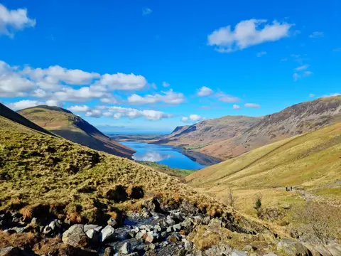
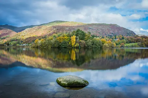
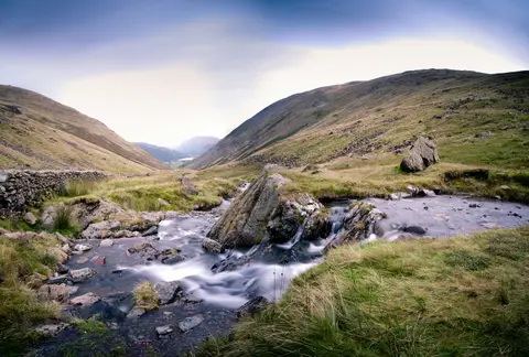
Local highlightA grassy Lakeland fell at the head of the Fairfield Horseshoe, with a flat top and steep crags dropping from its northern side
Open accesson open access land, where the right to roam applies
Fairfield is an 873m fell at the top of the round of hills people call the Fairfield Horseshoe, usually walked from Ambleside or Rydal as a long day out. The summit is a broad, stony plateau, easy going in clear weather but genuinely confusing in mist: the ground you walk up on rises gently, while the north side drops away in steep crags towards Deepdale and St Sunday Crag. It’s worth knowing that before you set off, because it’s an easy place to take the wrong line down in cloud. On a clear day, the views across the Lake District open out for miles. Take a map and compass and keep track of which way you came.
More at hill-bagging.co.uk