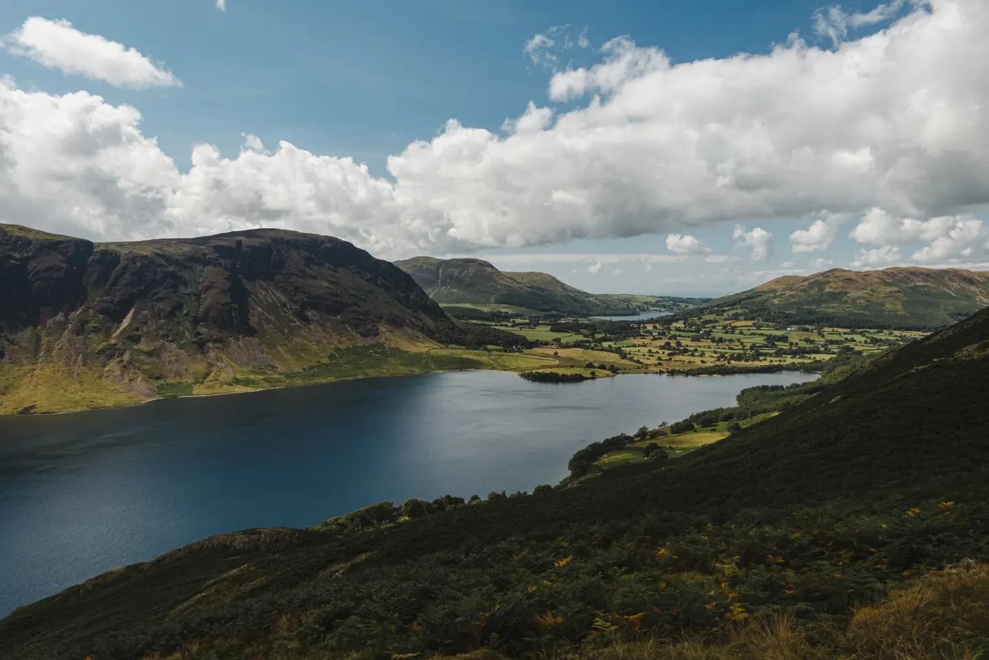
Lake DistrictPhoto Olga Lioncat / Pexels
Places to explore near Windermere StationWindermere
Windermere Station sits inside the Lake District National Park. 99 places within 10 km — the standouts first, nearest first within each group. 4 are national icons.
Worth the tripnational icons and local highlights within reach

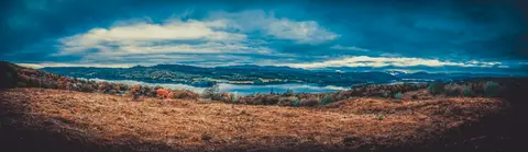
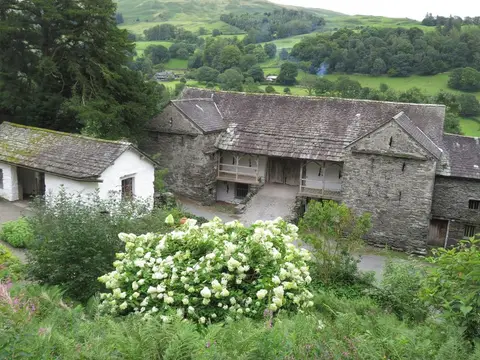
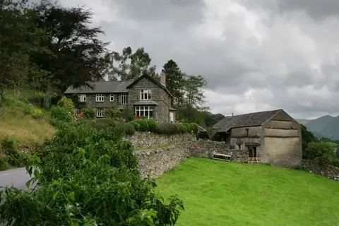
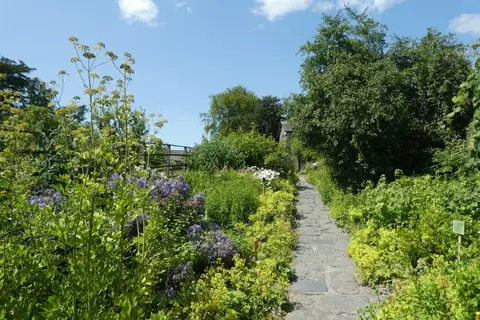
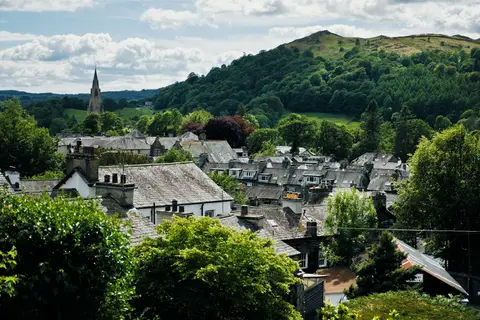
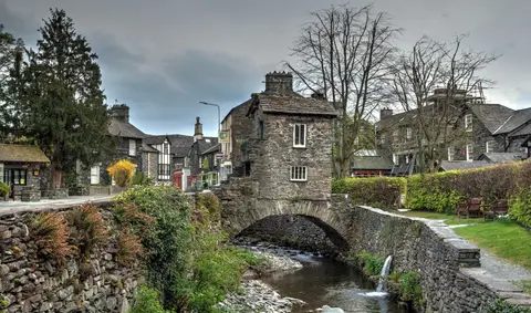
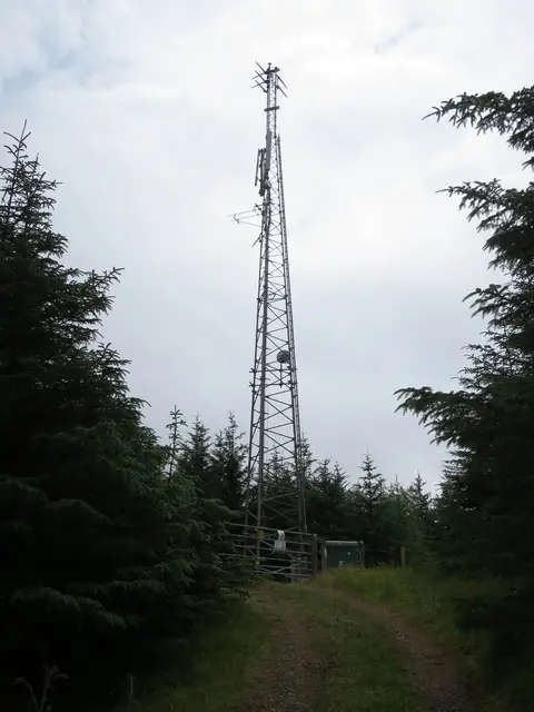
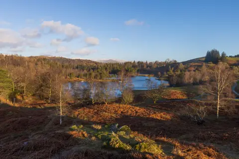
Also nearbygood places nearby, nearest first
Everything else within 10 km (57) — reserves, earthworks & places to check before travelling
- Wray CastleCastle4.6 km NW
- The Cuckoo Brow InnPub4.7 km SW
- River KentRiver4.8 km NE
- The Mortal ManPub4.8 km N
- The SamlingRestaurant5 km NW
- Tower Bank ArmsPub5.3 km SW
- Stagshaw Garden and AmblesideHouse & garden5.4 km NW
- Hawkshead Brewery Beer HallBrewery5.6 km E
- More? The Artisan BakeryFarm & farm shop5.6 km E
- StaveleyVillage5.6 km E
- Esthwaite WaterLake5.7 km SW
- The Eagle & Child InnPub5.8 km E
- The Outgate InnPub6 km W
- The Kings Arms (Hawkshead)Pub6.2 km W
- The Red Lion (Hawkshead)Pub6.2 km W
- TroutbeckSSSI6.3 km N
- Lake Road KitchenRestaurant6.8 km NW
- Windermere, Millerground LandingSwimming spot1.2 km W
- Windermere, Rayrigg MeadowSwimming spot1.2 km W
- High Lickbarrow Mires and PasturesSSSI1.3 km SE
- School KnottWainwright fell1.6 km SE
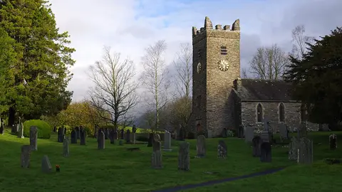
- St Martin's ChurchChurch2.1 km SW
- GrandsireWainwright fell2.2 km SE
- Unnamed top near School KnottWainwright fellaccess unclear2.4 km SE
- Brant FellWainwright fellaccess unclear2.5 km S
- Belle IsleHouse & gardenaccess unclear2.8 km SW
- The Hot BothySauna3.2 km SW
- The Watermill Inn & BreweryPub3.3 km E
- Claife HeightsWainwright fellaccess unclear3.4 km W
- The Queen's Head (Troutbeck)Pub3.4 km N
- Claife Tarns and MiresSSSI3.5 km W
- High KnottWainwright fellaccess unclear4.3 km E
- Knipe TarnSSSI4.3 km S
- Low Wray BaySSSIaccess unclear4.3 km NW
- Winster WetlandsSSSI4.4 km S
- Reston ScarWainwright fell4.6 km E
- LatterbarrowWainwright fell4.7 km W
- Sour HowesWainwright4.8 km N
- Blelham Tarn & BogSSSI4.8 km W
- Ludderburn and Candlestick MiresSSSI4.8 km S
- Skelghyll BeckSSSI4.8 km NW
- St Anne's Church, IngsChurch4.8 km E
- Hugill Fell (Wainwright summit)Wainwright fell4.9 km E
- The Brown Horse InnPub5.1 km S
- WinsterVillage5.1 km S
- Blelham BogNational Nature Reserve5.2 km NW
- North FenNational Nature Reserve5.6 km W
- Jenny DamSSSIaccess unclear5.7 km SE
- SallowsWainwright5.8 km N
- Brathay QuarriesSSSIaccess unclear5.9 km NW
- The Wateredge InnPub6.1 km NW
- Hawkshead Methodist ChurchChurch6.2 km W
- Ambleside Roman fortRoman archaeological site6.4 km NW
- BaystonesWainwright6.6 km N
- St Mary's Church, AmblesideChurch6.7 km NW
- The Drunken Duck InnPub6.9 km W
- KentmereVillage6.9 km NE
Ordered by how far each place is worth travelling for, then by distance. Distances are straight-line to the nearest edge of each place — paths wind, of course.